List Results

Showing 217 - 231 out of 231

Bradshaw's Map of the Railways in Central Europe 1...

Bradshaw

1852

£280.00

Offered by Arthur Hook

Plan Geometral de Paris et de ses Agrandissments 1...

Longuet

1858

£450.00

Offered by Arthur Hook

North Eastern Railway. Plan of Part of the Durham...

1904

£140.00

Offered by Arthur Hook

Plan of the Thames Haven Tide Dock and Railway

1840

£125.00

Offered by Arthur Hook

Mogg’s Excursion Map of the Country Twenty-Four Mi...

Mogg

1848

£200.00

Offered by Arthur Hook

Map of the Country Twenty-Two Miles Round London c...

Wallis

1783

£245.00

Offered by Arthur Hook

Map of London: Guide to the International Exhibiti...

Dower

1862

£205.00

Offered by Arthur Hook

Wyld's Atlas of Modern Geography 1863

Wyld

1863

£315.00

Offered by Arthur Hook

1841 Manuscript Map Staffordshire

Anon

£645.00

Offered by Andrew Cox

1844 Manuscript Railway Maps

North Staffordshire Railway (NSR)

£2745.00

Offered by Andrew Cox

1844 Manuscript Churnet Valley Railway

North Staffordshire Railway

£1495.00

Offered by Andrew Cox

1786 Manuscript Road Map Cheshire

George Holland

£1945.00

Offered by Andrew Cox

1882 Fine Manuscript MAP OF THE WORLD

William John Lane

£645.00

Offered by Andrew Cox

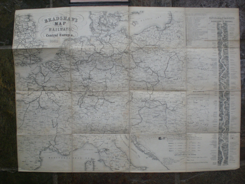
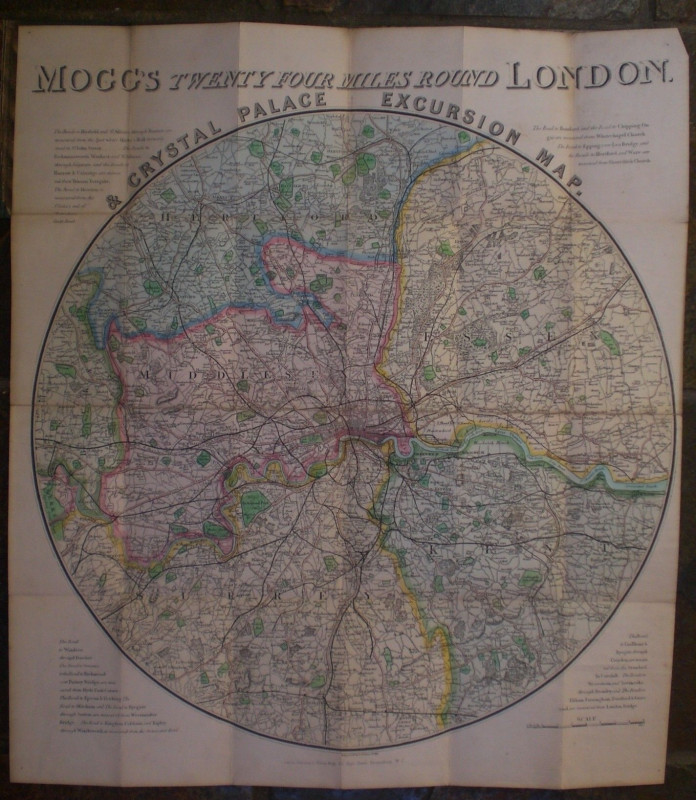
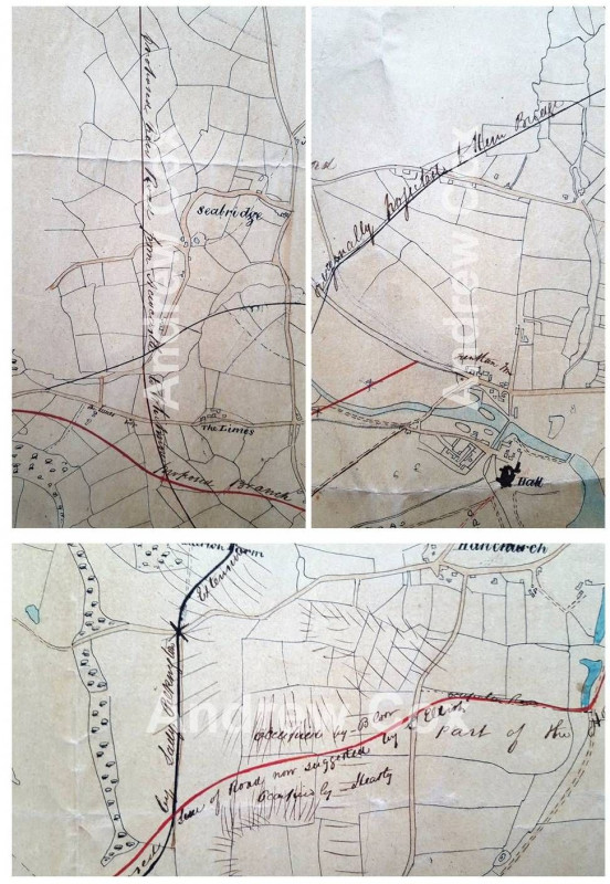
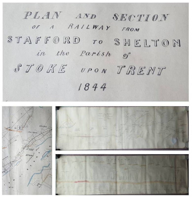
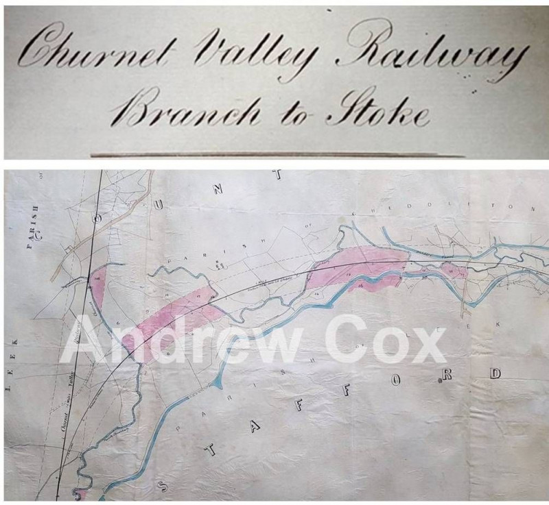
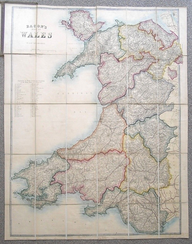
BACON’S MAP OF WALES by Edward Weller ( Hand Colo...

G W Bacon

G W Bacon & Co

£150.00

Offered by Andrew Cox

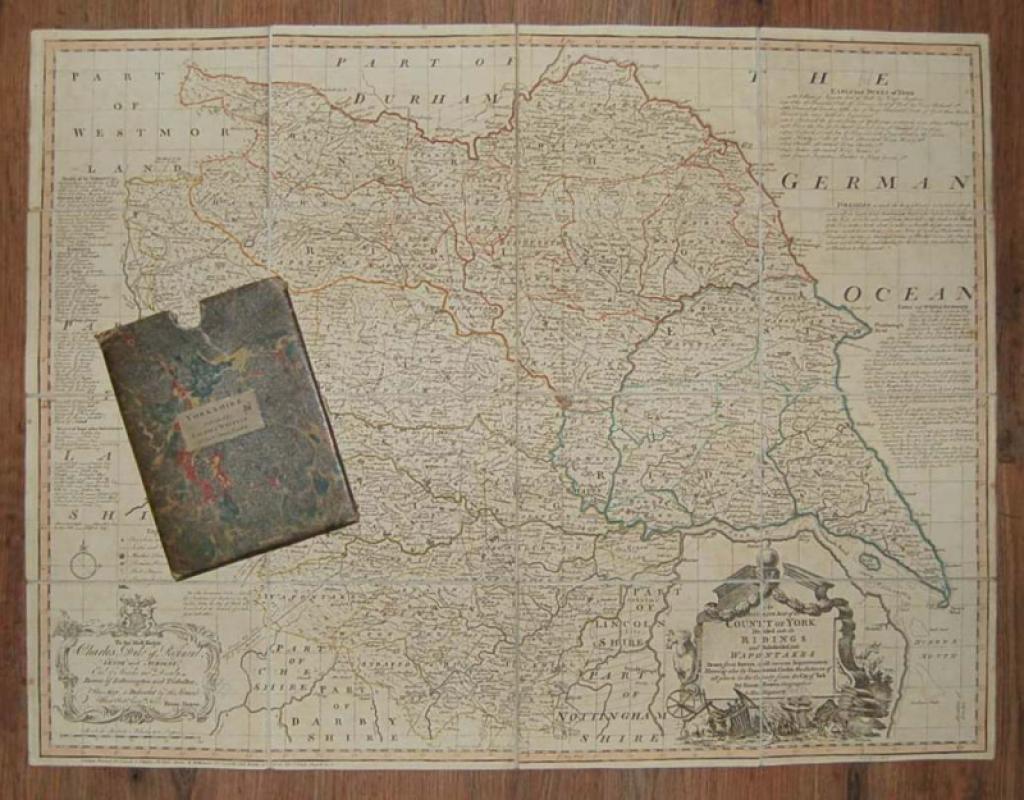
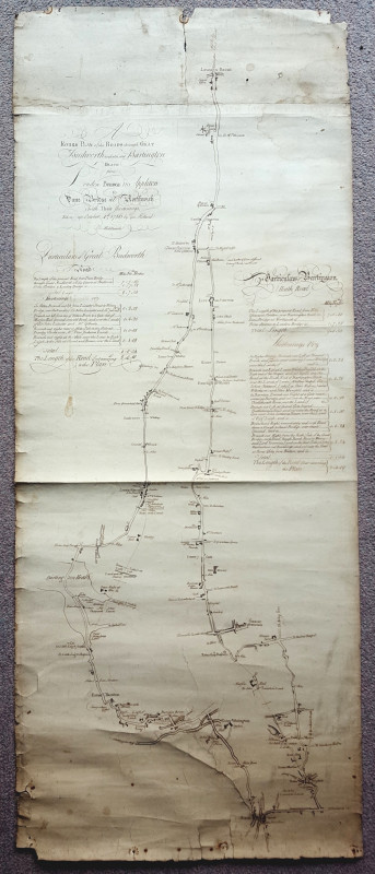
An Accurate Map of the County of York, Divided int...

YORKSHIRE MAP. BOWEN (Emanuel)

London: Printed for Laurie & Whittle,

£295.00

Offered by Forest Books

Friends of the PBFA

For £10 get free entry to our fairs, updates from the PBFA and more.

Please email info@pbfa.org for more information

Join PBFA

Membership of the PBFA is open to anyone who has been trading in antiquarian and second-hand books for a minimum of two years subject to certain criteria.

Email info@pbfa.org to find out more, or complete the enquiry form.

complete the form