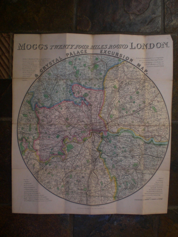
Mogg’s Excursion Map of the Country Twenty-Four Miles round London showing the whole of the railways, their several stations, and distances from London


Book Description
Mogg’s Excursion Map of the Country Twenty-Four Miles round London showing the whole of the railways, their several stations, and distances from London published by Mogg, London circa 1848. On folding linen size 63 by 56 cm., scale two miles to the inch. A circular map which takes London Bridge as its centre and covers an area that includes Windsor, Hertford, Tilbury and Reigate at the edges. Hand-coloured. In each of the four corners there is a section of text on major routes out of London corresponding to the points of the compass. Folds into original stiff boards with Mogg’s label to the front. Minor foxing to folds at reverse.
Author
Mogg
Date
1848
Binding
In original stiff boards
Publisher
1848
Condition
Good to VG
Other books
If you liked the book you've just seen, you might be interested in other books from the same dealer below.
The Official Guide to the Great Western Railway 18...
Great Western Railway
Great Western Railway
£85.00
Offered by Arthur Hook
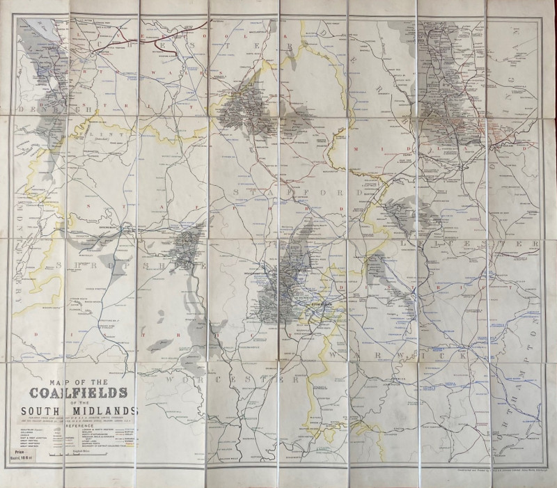
Map of the Coalfields of the South Midlands circa...
Johnston
Johnston
£100.00
Offered by Arthur Hook
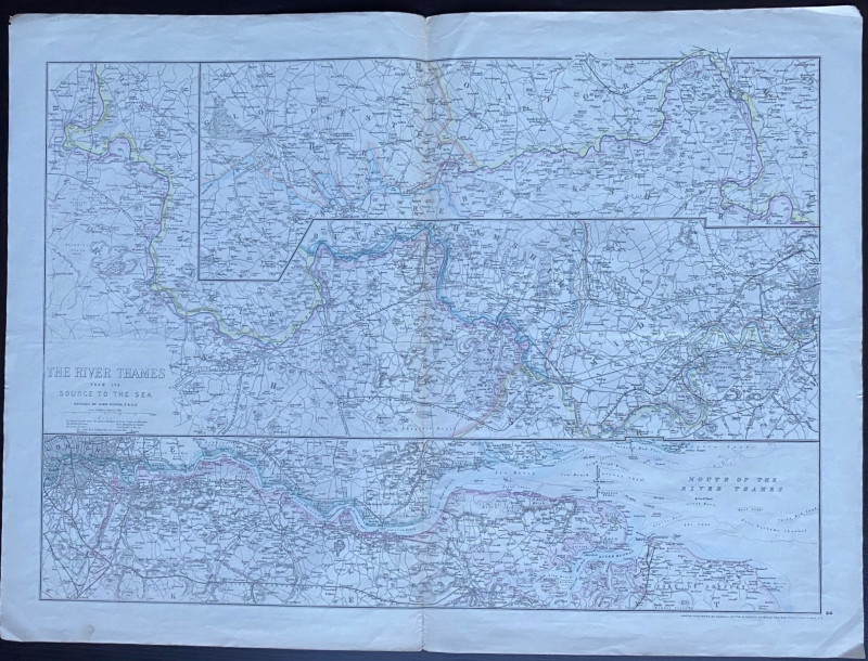
Map of the River Thames from the Source to the Sea...
Dower
Cassell Petter & Galpin
Reserved
Offered by Arthur Hook
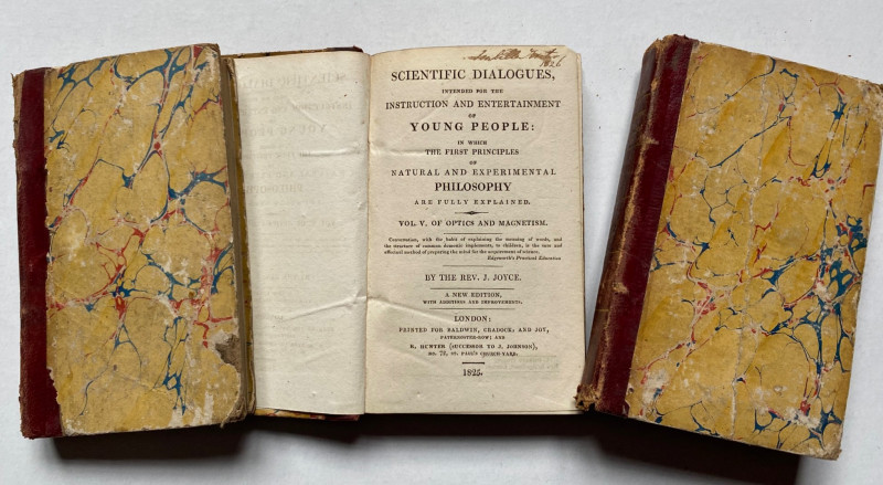
Scientific Dialogues for the Instruction and Enter...
Joyce
Baldwin Cradock & Joy
£45.00
Offered by Arthur Hook
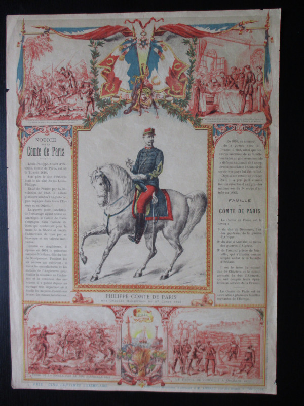
French Royalist Publicity Poster Philippe Comte de...
Philippe Comte de Paris
Thomas and Conferon
£45.00
Offered by Arthur Hook
Friends of the PBFA
For £10 get free entry to our fairs, updates from the PBFA and more.
Please email info@pbfa.org for more information