Plan of the Thames Haven Tide Dock and Railway

Book Description
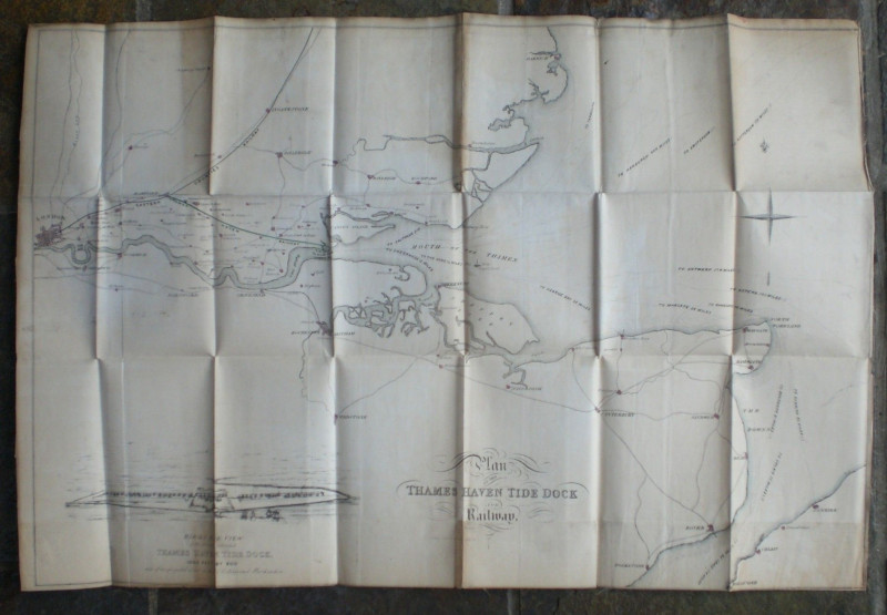
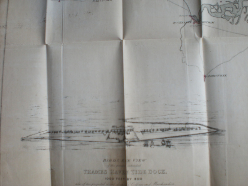
Plan of the Thames Haven Tide Dock and Railway. A lithographed map published by Coventry of London circa 1840. On folding linen size 72 by 48 cm. Map covers an area from London to the Thames Estuary, north to Harwich and south to Folkestone and the French coast. The part of Essex south of the Eastern Counties Railway is shown in detail as is the north coast of Kent. The Thames Haven Railway line is shown running from its planned junction near Romford to the dock. To the bottom of the map is a vignette with a birds-eye view of the intended dock, 1000 feet by 800 and of two planned closed docks for colliers and merchandise. The Science Museum and the Kew National Archives have the map in their collections map but no other copy seems to be for sale.
Date
1840
Publisher
1840
Condition
Good
Other books
If you liked the book you've just seen, you might be interested in other books from the same dealer below.
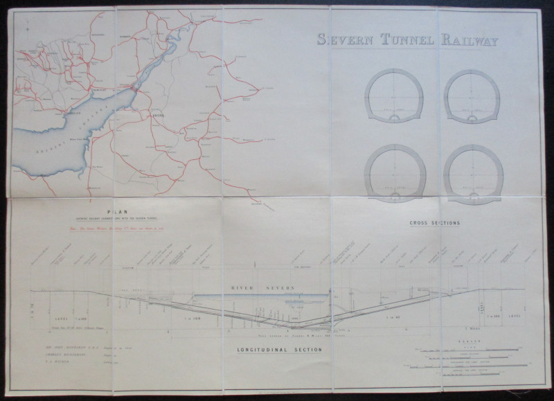
Map and Sections of the Severn Tunnel Railway 1875
Hawkshaw and Richardson
Unpublished
£250.00
Offered by Arthur Hook
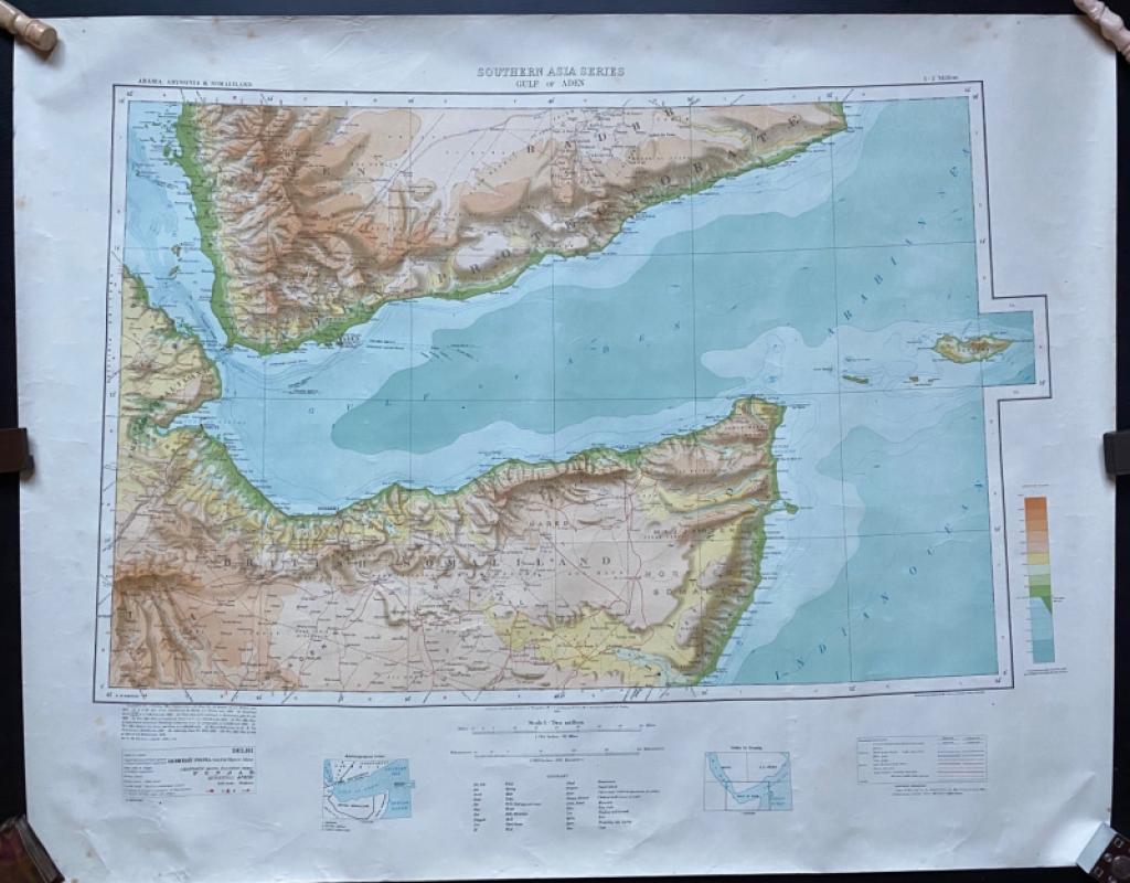
Map of The Gulf of Aden with parts of Arabia, Abys...
Couchman
Survey of India
£50.00
Offered by Arthur Hook
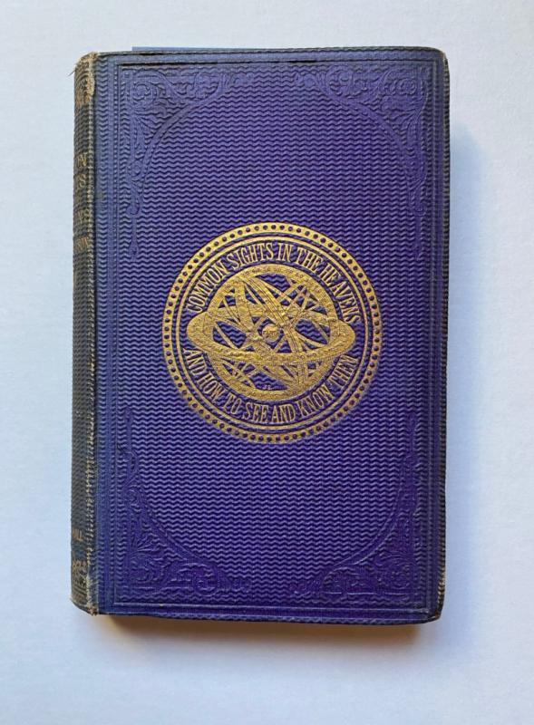
The Common Sights in the Heavens and How to See an...
Drayson
Chapman and Hall
£225.00
Offered by Arthur Hook
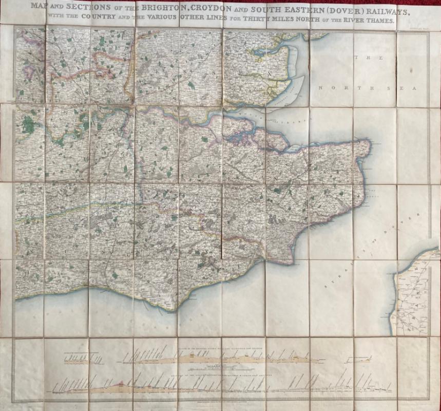
Map and Sections of the Brighton, Croydon and Sout...
Jobbins
Jobbins
£275.00
Offered by Arthur Hook

Hong Kong Riviera of the Orient
Hong Kong Travel Association
Hong Kong Travel Association
£775.00
Offered by Arthur Hook
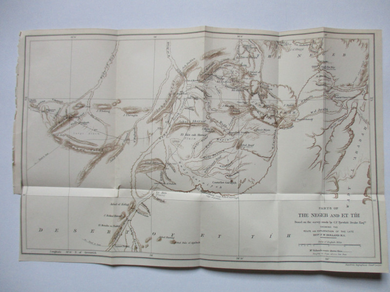
Map of Parts of the Negeb and Et Tih Palestine 188...
Drake
Palestine Exploration Fund
£40.00
Offered by Arthur Hook
Friends of the PBFA
For £10 get free entry to our fairs, updates from the PBFA and more.
Please email info@pbfa.org for more information