Sydney Hall's Travelling Atlas of the English Counties with all the Railroads


Book Description
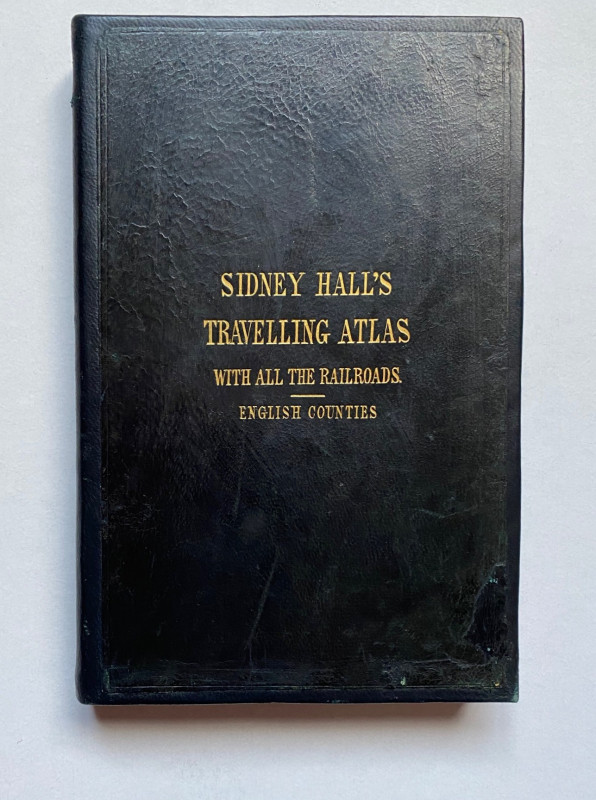
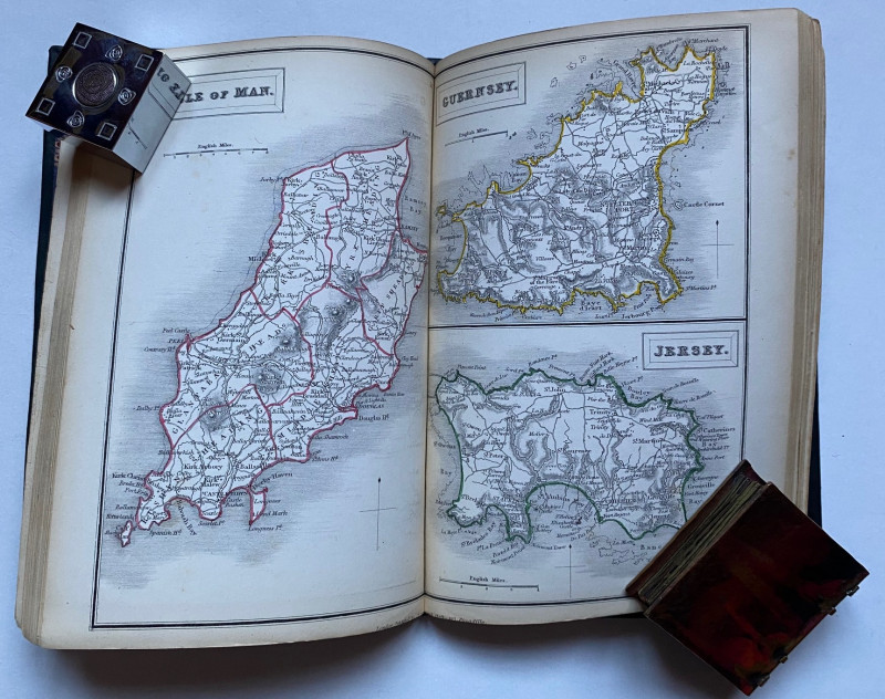
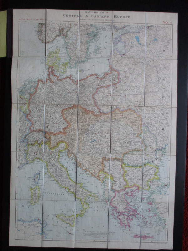
Sydney Hall's Travelling Atlas of the English Counties with all the Railroads, published by Chapman and Hall, London circa 1855. In a restored full leather binding size 21 by 15 cm. With 46 maps: the counties of England, the Channel Islands, folding maps of Wales, Scotland and Ireland and a double-page general map of England and Wales as called for. The maps are detailed and hand-coloured, with heights shown by shading or hachuring. Title gold-stamped to front. The front endpaper has a signature in ink, possibly by the original owner of the atlas. Beneath the title on the front board is added the words "English Counties" though the atlas is more comprehensive. Spine relaid. Good to Vg condition.
Author
Hall
Date
1855
Binding
Hardback
Publisher
Chapman and Hall
Condition
VG
Pages
94
Other books
If you liked the book you've just seen, you might be interested in other books from the same dealer below.
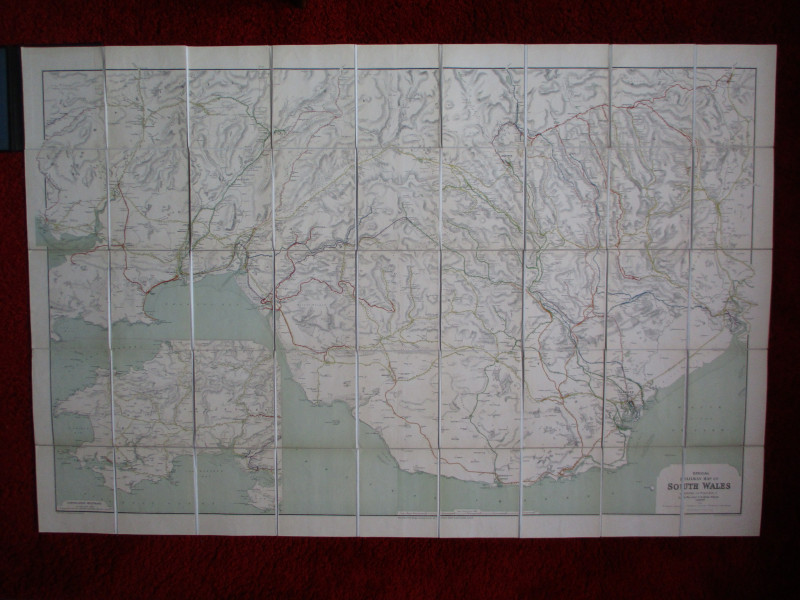
Railway Clearing House Map of South Wales 1926
Emslie
Railway Clearing House
£125.00
Offered by Arthur Hook
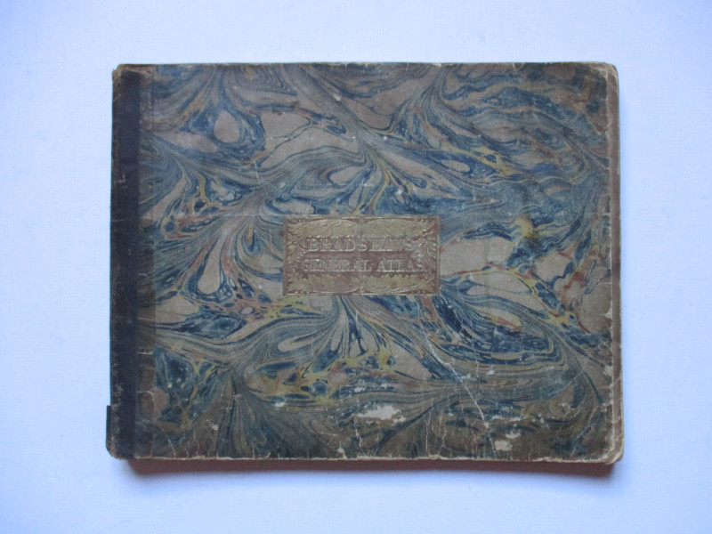
Bradshaw’s General Atlas with the latest Discoveri...
Bradshaw
Bradshaw
£325.00
Offered by Arthur Hook
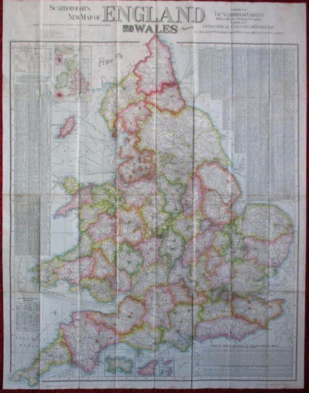
Scarborough’s Map of the British Isles shewing Geo...
Anon
The Scarborough Company
£100.00
Offered by Arthur Hook
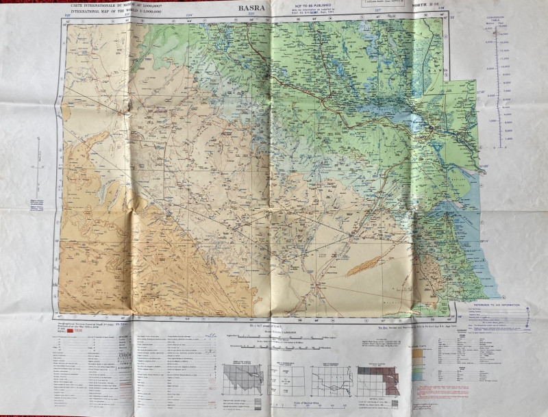
British Army Map of Basra 1941
British Army
British Army 512 Forward Survey Company, Royal Engineers
£85.00
Offered by Arthur Hook
Sydney Hall's Travelling Atlas of the English Coun...
Hall
Chapman and Hall
£375.00
Offered by Arthur Hook
Friends of the PBFA
For £10 get free entry to our fairs, updates from the PBFA and more.
Please email info@pbfa.org for more information