Map of Historic Jersey
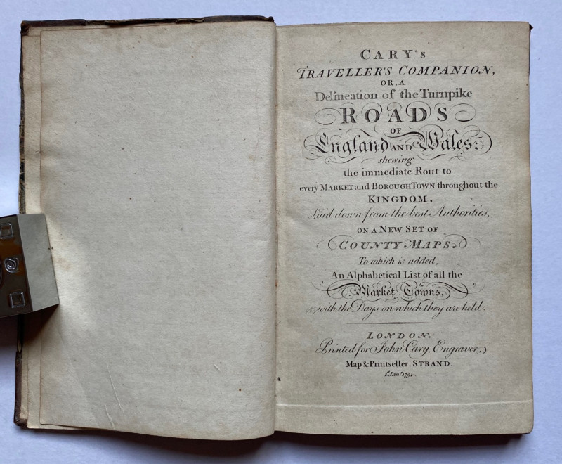
Book Description
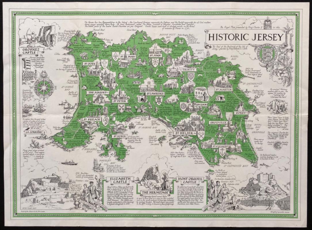
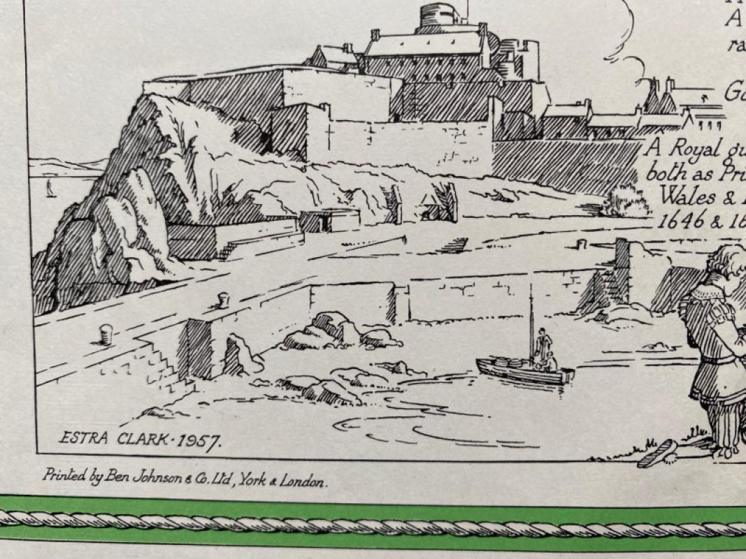
Historic Jersey. A map drawn by Estra Clark, printed and published by Johnson, York 1957. On paper size 58 by 43 cm. Scale approximately 2 inches to the mile. Includes a compass rose, vignettes of Grosnez, Elizabeth and Mont Orgueil Castles, Hermitage Rock and a decorative cartouche with an image of the seal of the Bailiwick of the Isle of Jersey beneath the title. The map has text on the history and geography of the island around the borders and each of its parishes has a smaller vignette and more specific notes on its locality. Estra Clark was a Yorkshire-born teacher and artist who specialised in creating maps that were amusing and informative, capturing the optimism of the post war period. Colour. Has been folded. Good to VG condition.
Author
Clark
Date
1957
Publisher
Johnson
Illustrator
Clark
Condition
Good to VG
Other books
If you liked the book you've just seen, you might be interested in other books from the same dealer below.

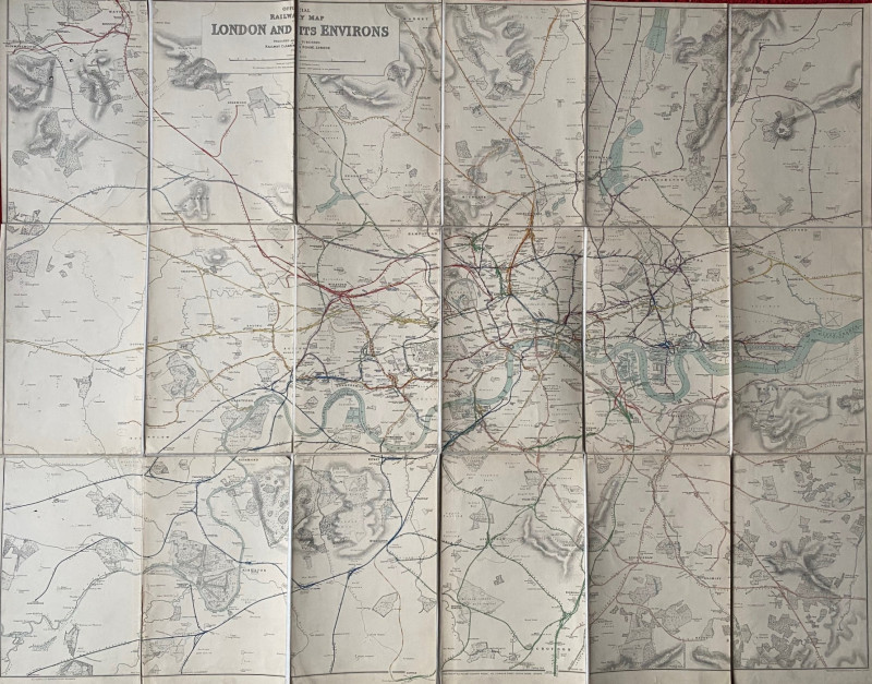
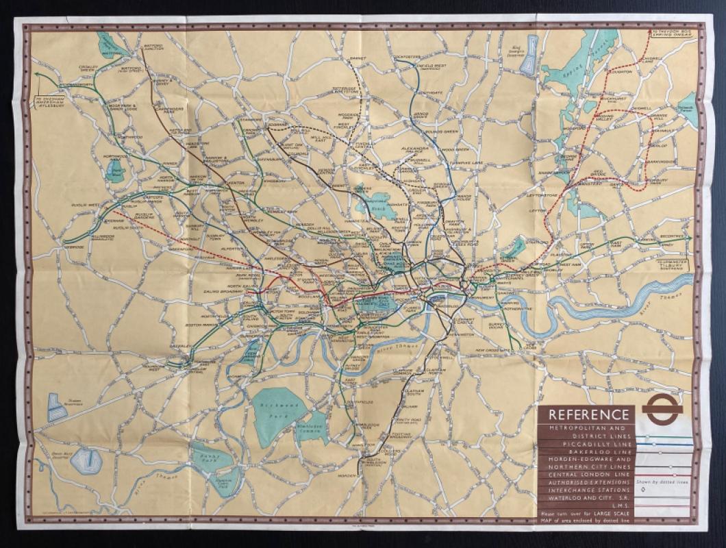
Railway Clearing House Map of London 1915
Emslie
Railway Clearing House
£195.00
Offered by Arthur Hook

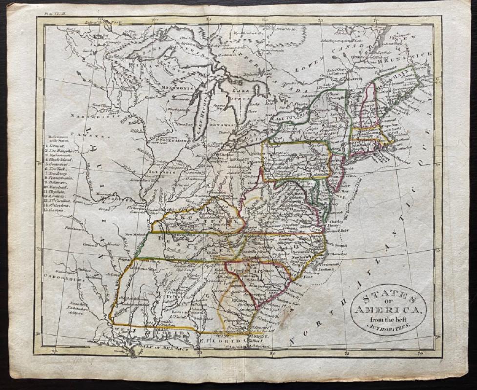
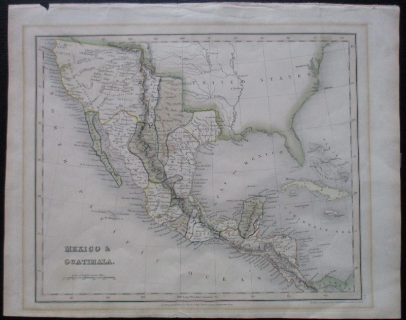
Map of the British Colonies in North America
Russell
Rivington, Wilkie and others
£100.00
Offered by Arthur Hook
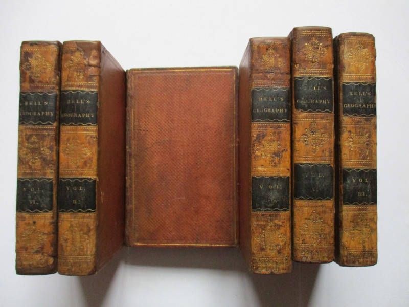
A System of Geography , Popular and Scientific or...
Bell
Fullarton, Tait, Curry, Simpkin, Marshall & Orr
£395.00
Offered by Arthur Hook
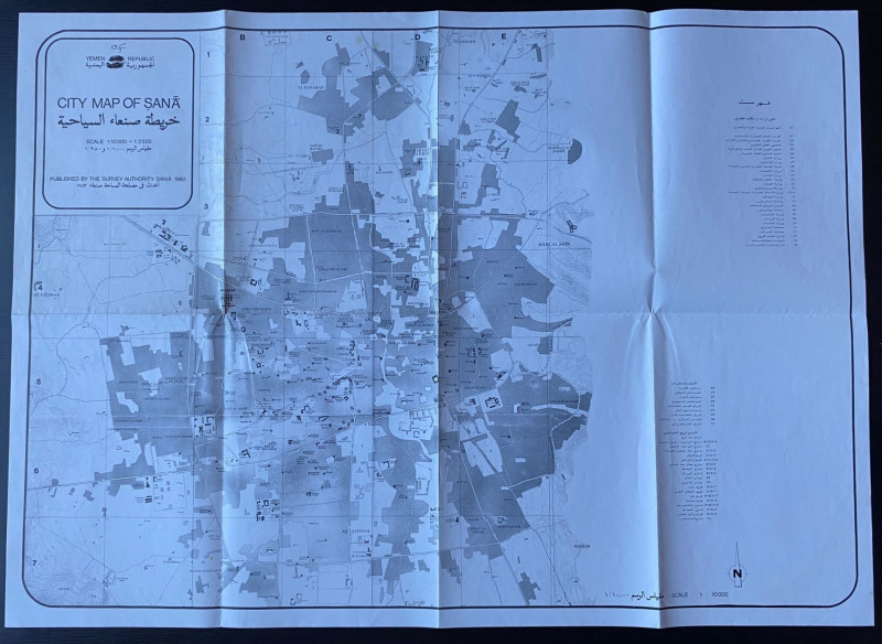
Republic of Yemen City Map of Sana
Survey Authority Sana
Survey Authority Sana
£110.00
Offered by Arthur Hook
Friends of the PBFA
For £10 get free entry to our fairs, updates from the PBFA and more.
Please email info@pbfa.org for more information