A New and Accurate Map of Savoy, Piedmont and Montferrat

Book Description
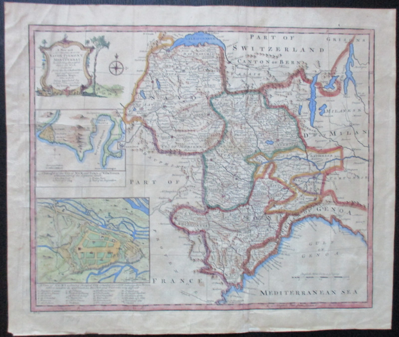
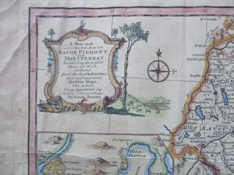
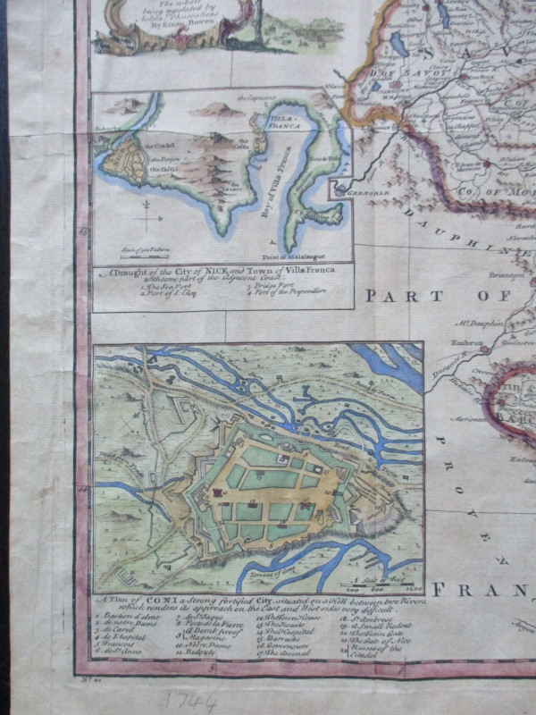
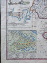
A New and Accurate Map of Savoy, Piedmont and Montferrat by Bowen, published London circa 1750. On paper size 47 by 40 cm. Scale 60 miles to a degree or 30 miles to the inch. Includes inset maps of Nice with Villefranche and of Coni. Both these inset maps have keys to main features and landmarks. A decorative cartouche contains the full title. Includes a compass rose. Hand-coloured. One central fold with slight creasing by this fold. Good condition.
Author
Bowen
Date
1750
Publisher
Bowen
Illustrator
Bowen
Condition
Good
Other books
If you liked the book you've just seen, you might be interested in other books from the same dealer below.
Railroadiana : A New History of England or picture...
Anon
Simpkin Marshall
£250.00
Offered by Arthur Hook
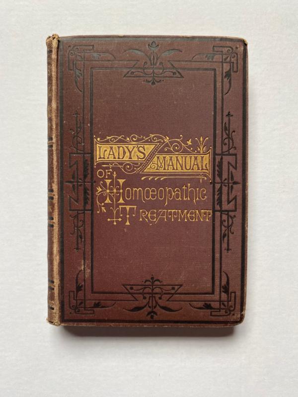
The Lady’s Manual of Homeopathic Treatment in the...
Ruddock
Homeopathic Publishing Company
£35.00
Offered by Arthur Hook
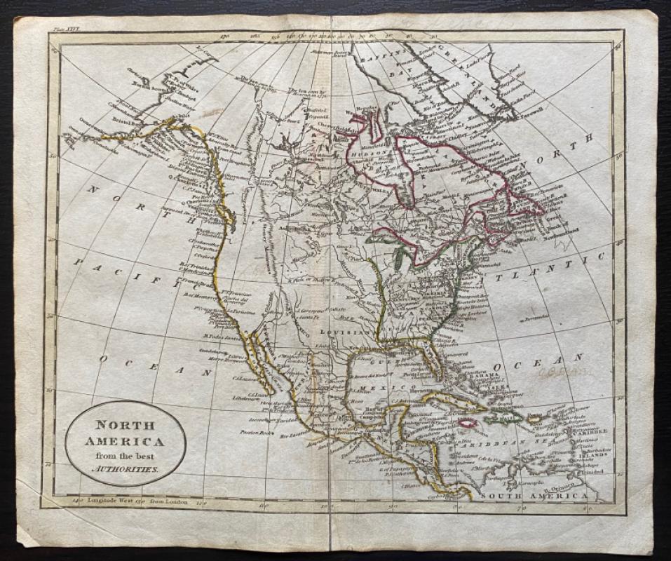
Map of North America from the Best Authorities
Russell
Rivington, Wilkie and others
£100.00
Offered by Arthur Hook
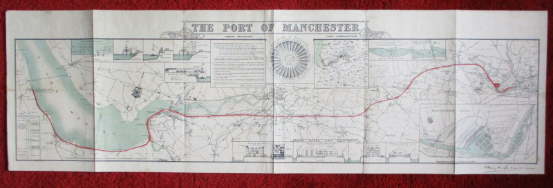
Map of the Port of Manchester & Ship Canal 1902
Falkner
Manchester Ship Canal
£125.00
Offered by Arthur Hook
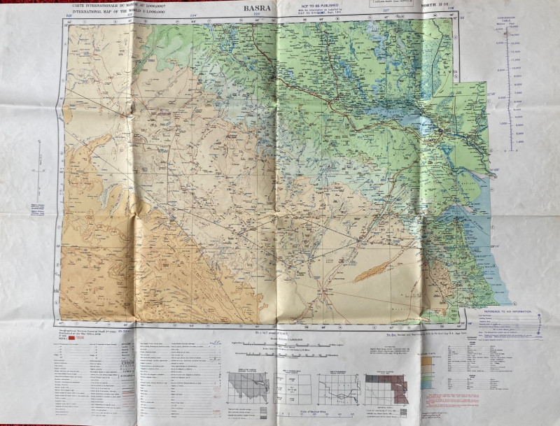
British Army Map of Basra 1941
British Army
British Army 512 Forward Survey Company, Royal Engineers
£85.00
Offered by Arthur Hook
Friends of the PBFA
For £10 get free entry to our fairs, updates from the PBFA and more.
Please email info@pbfa.org for more information