Smith’s New Plan of the Navigable Canals and Rivers of England, Wales and Scotland
Book Description
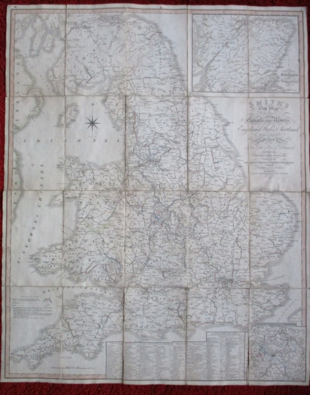
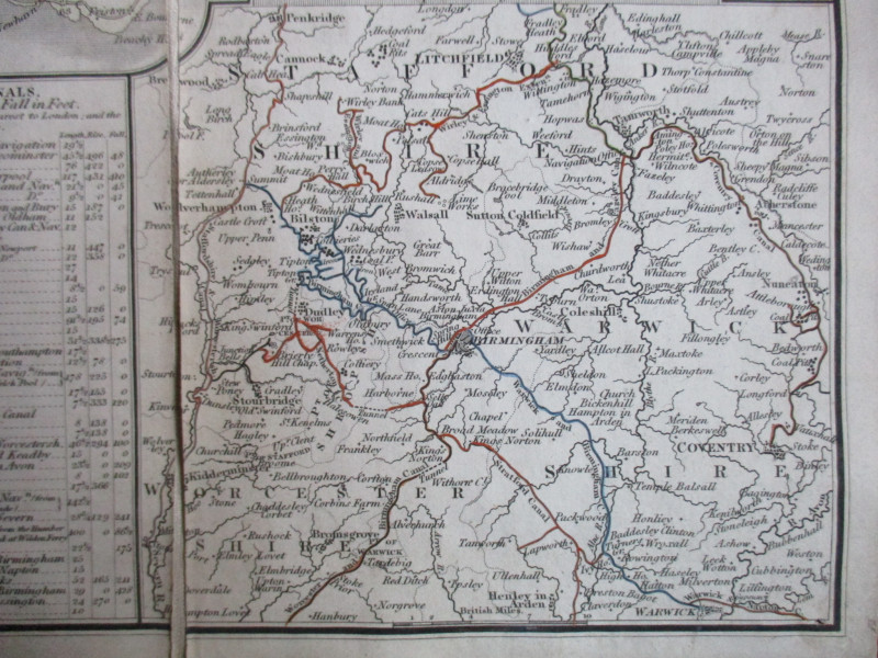
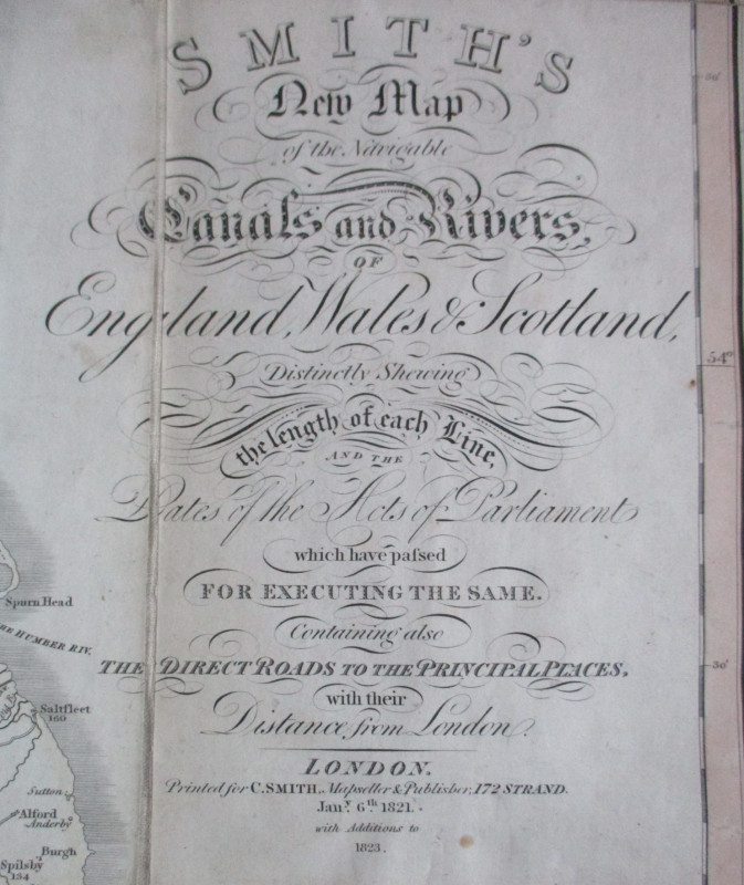
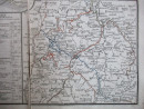
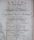
Smith’s New Plan of the Navigable Canals and Rivers of England, Wales and Scotland, distinctly shewing the length of each line, dates of the Acts of Parliament which have passed for executing the same, containing also the direct roads to the principal places with their distances from London. Published by C Smith, London January 1821 with additions to 1823. On folding linen in 20 sections, size 96 by 77 cm. Scale 12 miles to the inch. Includes inset maps of the north of Scotland including the Caledonian Canal and canals in the environs of Birmingham. Panels of text and data beneath the map list over 60 principal canals and give particular details on eight canals. With a colour-coded key to the canals and their length; roads; rail roads and deposits of minerals and resources like coal and iron. Good condition.
Author
Smith
Date
1821
Publisher
Smith
Illustrator
Smith
Condition
Good
Other books
If you liked the book you've just seen, you might be interested in other books from the same dealer below.
Three Maps showing the position of the Principal G...
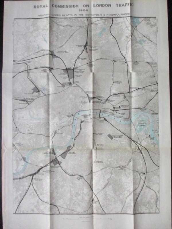
Royal Commission on London Traffic
Hansard
£150.00
Offered by Arthur Hook
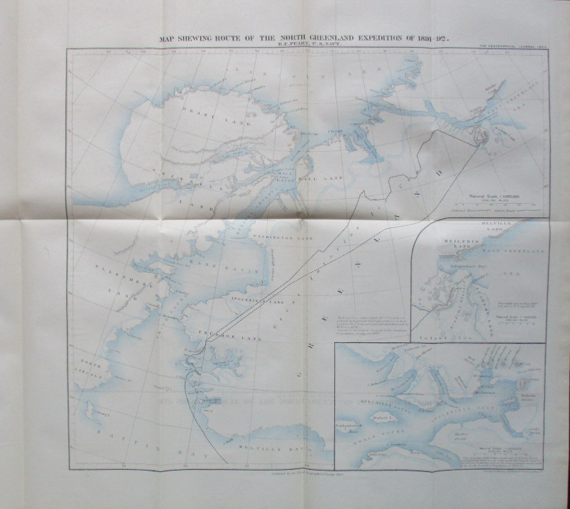
Map Shewing Route of the North Greenland Expeditio...
Peary
Royal Geographical Society
£55.00
Offered by Arthur Hook

Friends of the PBFA
For £10 get free entry to our fairs, updates from the PBFA and more.
Please email info@pbfa.org for more information