Railway Map of England and Wales 1838
Book Description
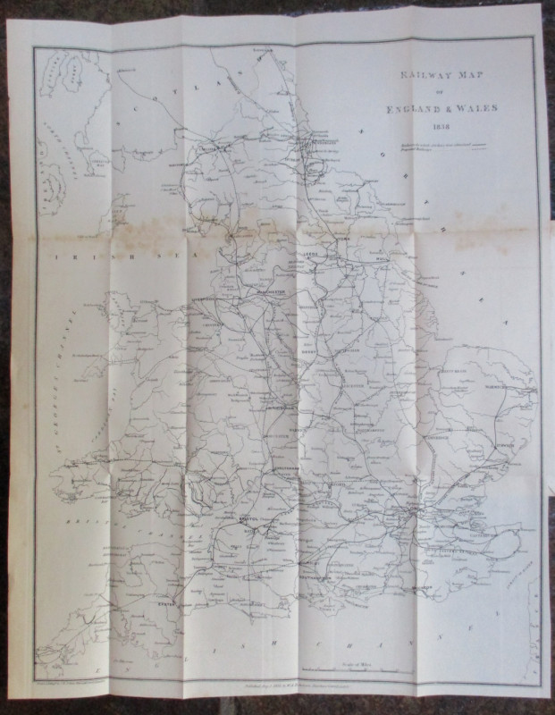
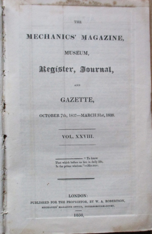
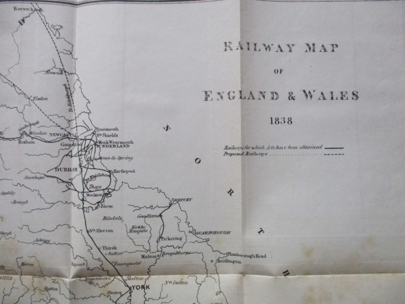
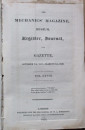
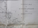
Railway Map of England and Wales published by W Robertson London 1838. On folding paper size 55 by 43 cm. Uncoloured. Scale 20 miles to the inch. A key provides information on railways for which Acts have been obtained and proposed railways. A snapshot of the railway network at the beginning of the first railway boom and an insight into some of the more unusual plans for development. Published with the Mechanics' Magazine Museum Register Journal and Gazette by Robertson London 1838. Complete with the index to the magazine. Occasional foxing to reverse and to one fold but otherwise in Good condition.
Author
Robertson
Date
1838
Publisher
Robertson
Condition
Good
Other books
If you liked the book you've just seen, you might be interested in other books from the same dealer below.
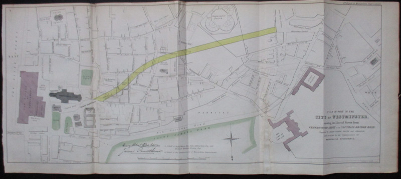
Plan of Part of the City of Westminster shewing th...
Pennethorne and Abrahams
Hansard
£95.00
Offered by Arthur Hook
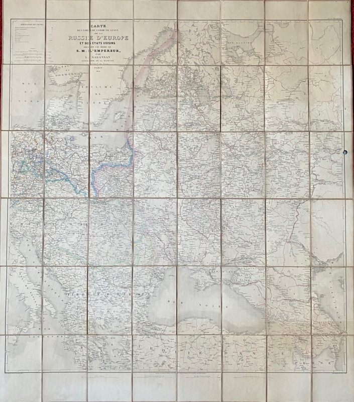
Map of European Russia and neighbouring states 185...
Sagansan
Avril Frėres
£185.00
Offered by Arthur Hook
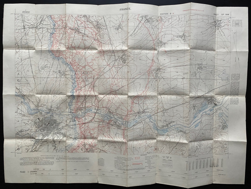
Trench Map of the Arras area France 1917
Ordnance Survey for British General Staff
Ordnance Survey for British General Staff
£165.00
Offered by Arthur Hook
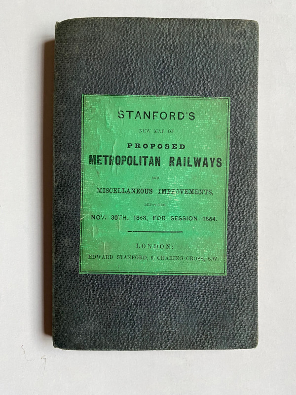
Stanford’s New Map of Proposed Metropolitan Railwa...
Stanford
Stanford
£295.00
Offered by Arthur Hook
Friends of the PBFA
For £10 get free entry to our fairs, updates from the PBFA and more.
Please email info@pbfa.org for more information