Wartime map of northern India and Burma. A segmentary view of Greater East Asia
Book Description
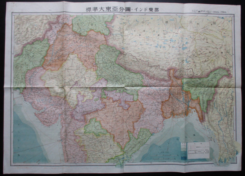
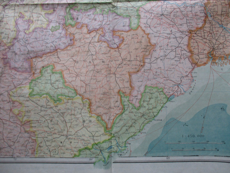
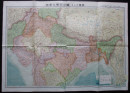
Wartime map of northern India and Burma. A segmentary view of Greater East Asia. Published by Toseisha, Tokyo April 1943. On paper size 76 by 54 cm. Scale 1:450,000. Covers an area from today’s Pakistan in the west across to Bangladesh and Myanmar and includes Tibet and some of southern China in the north. Colour. Heights are indicated by shading. The map shows the railway network in some detail. Text and key are in Japanese. Possibly published for intelligence or military purposes. Has been folded. VG condition.
Author
Anon
Date
1943
Publisher
Toeseisha
Condition
VG
Other books
If you liked the book you've just seen, you might be interested in other books from the same dealer below.
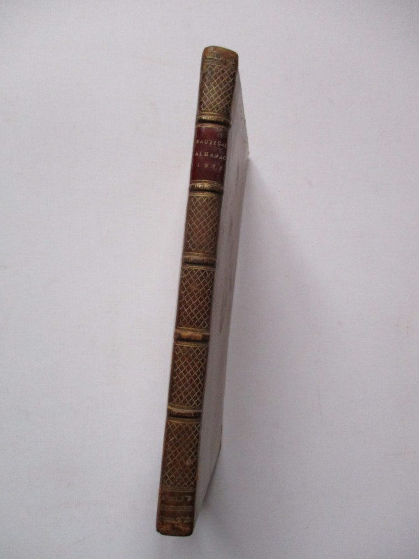
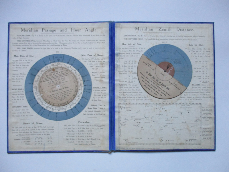
The Nautical Almanac and Astronomical Ephemeris fo...
Maskelyne
John Murray for the Commissioners of Longitude
£175.00
Offered by Arthur Hook
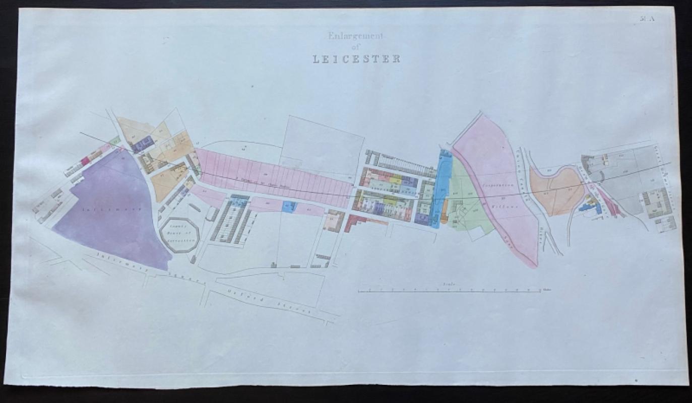
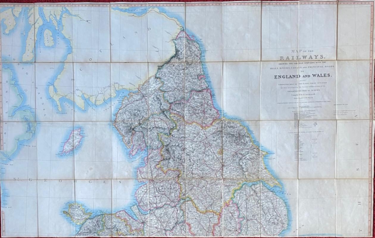
Map of Leicester, including the County House of Co...
Rennie
Arrowsmith
£75.00
Offered by Arthur Hook
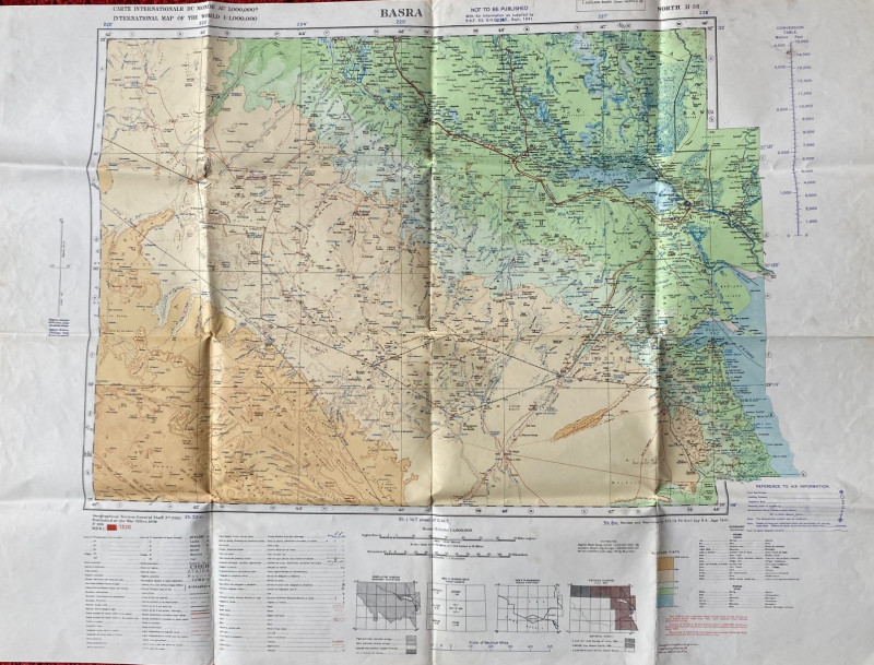
British Army Map of Basra 1941
British Army
British Army 512 Forward Survey Company, Royal Engineers
£85.00
Offered by Arthur Hook
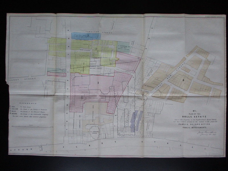
Four Plans for the development of the Central Lond...
Pennethorne
Hansard
£125.00
Offered by Arthur Hook
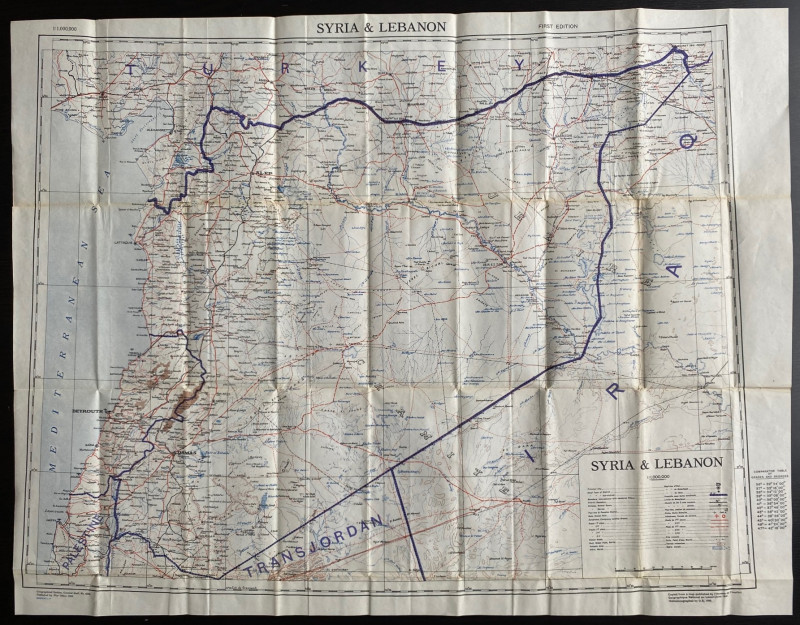
OS War Office Map of Syria and Lebanon 1942
British War Office
British War Office
£30.00
Offered by Arthur Hook
Friends of the PBFA
For £10 get free entry to our fairs, updates from the PBFA and more.
Please email info@pbfa.org for more information