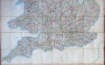
Arrowsmith's Map of the Railways 1840

Book Description
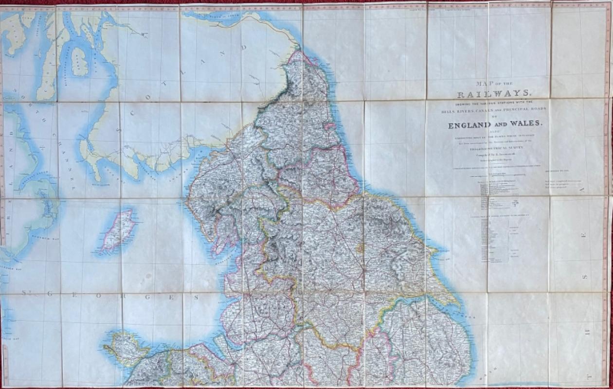
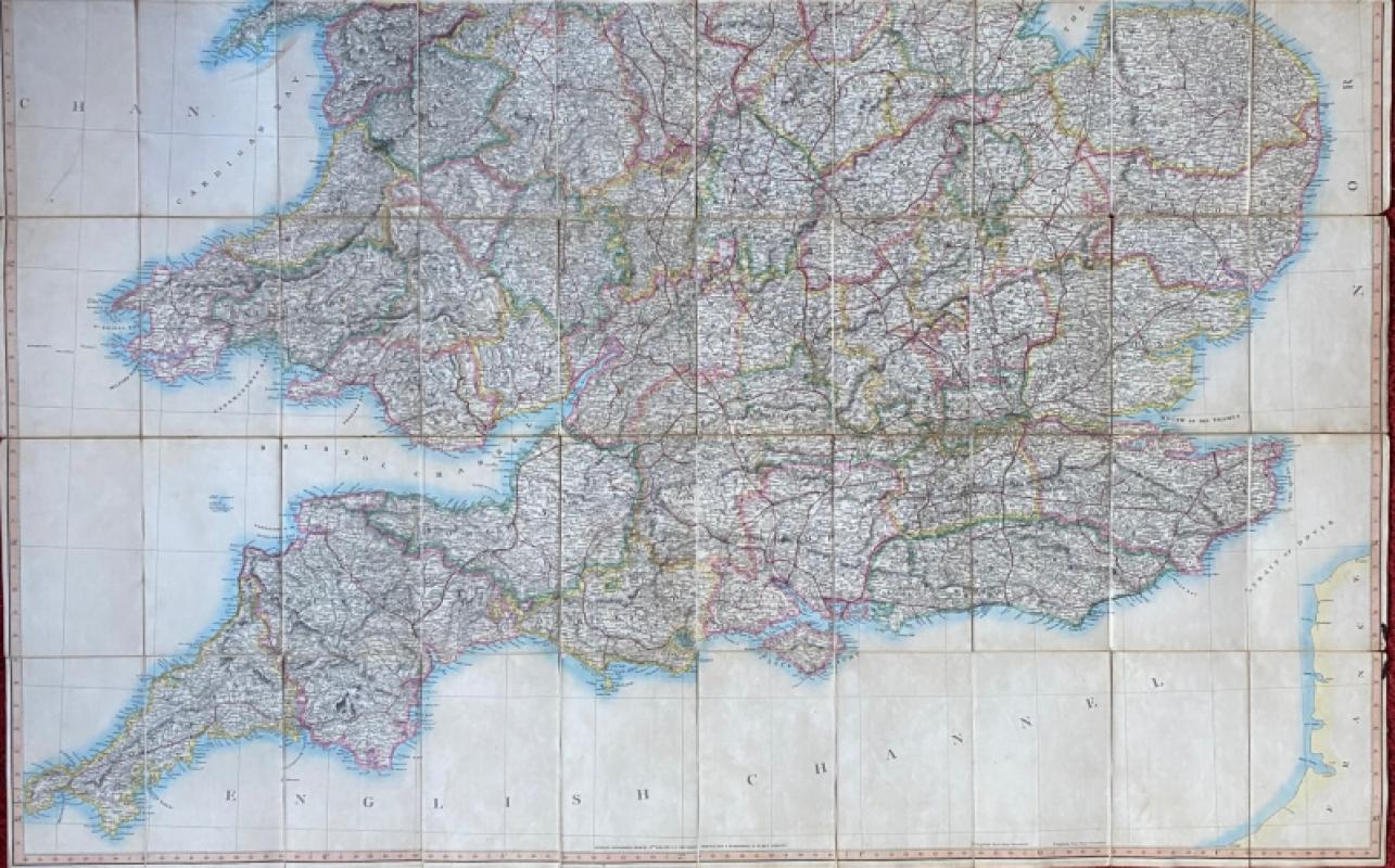
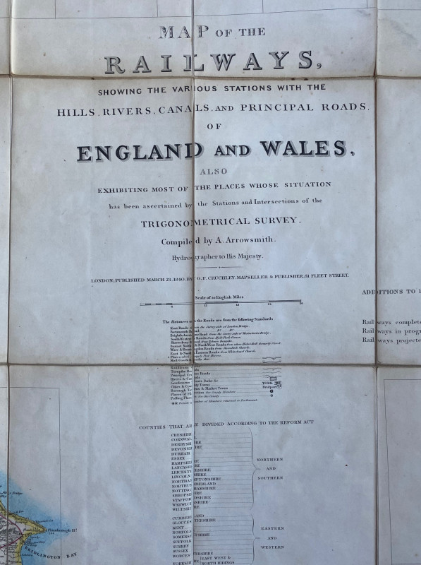
Map of the Railways showing the various stations with the Hills, Rivers, Canals and Principal Roads of England and Wales, also exhibiting most of the places whose situation has been ascertained by the Stations and Intersections of the Trignometrical Survey, compiled by A Arrowsmith, Hydrographer to His Majesty, published by G F Cruchley London 1840. On folding linen in two sheets, each 146 by 90 cm. Scale six miles to the inch. Hand-coloured. A very detailed map that shows the extent of the early railway network. With one key to railways completed, railways in progress and railways completed and a second key to roads, turnpikes, rivers, canals, towns, constituency arrangements post Reform Act, gentlemen’s seats etc. Folds into drab black cloth covers. Some limited staining to reverse. The map is in VG condition.
Author
Arrowsmith
Date
1840
Publisher
Cruchley
Pages
2
Other books
If you liked the book you've just seen, you might be interested in other books from the same dealer below.
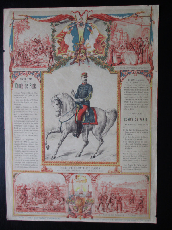
French Royalist Publicity Poster Philippe Comte de...
Philippe Comte de Paris
Thomas and Conferon
£45.00
Offered by Arthur Hook
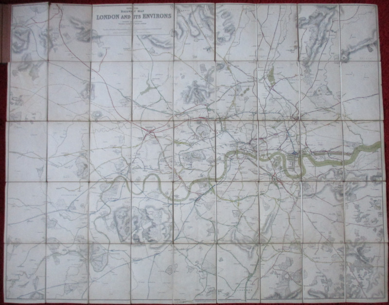
Official Railway Clearing House Map of London and...
Emslie
Railway Clearing House
£220.00
Offered by Arthur Hook

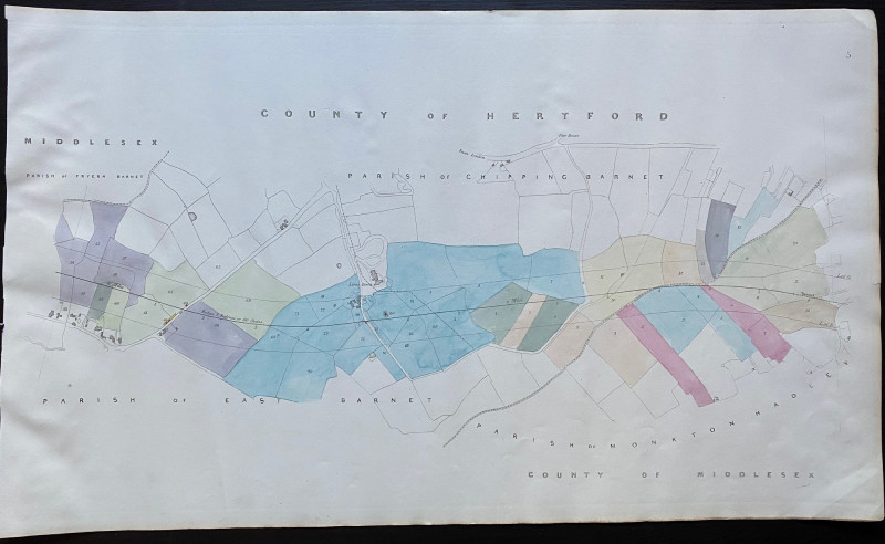
Map of Fryern Barnet to the tunnel near Chipping B...
Rennie
Arrowsmith
£35.00
Offered by Arthur Hook
Friends of the PBFA
For £10 get free entry to our fairs, updates from the PBFA and more.
Please email info@pbfa.org for more information