Map of European Russia and neighbouring states 1854

Book Description
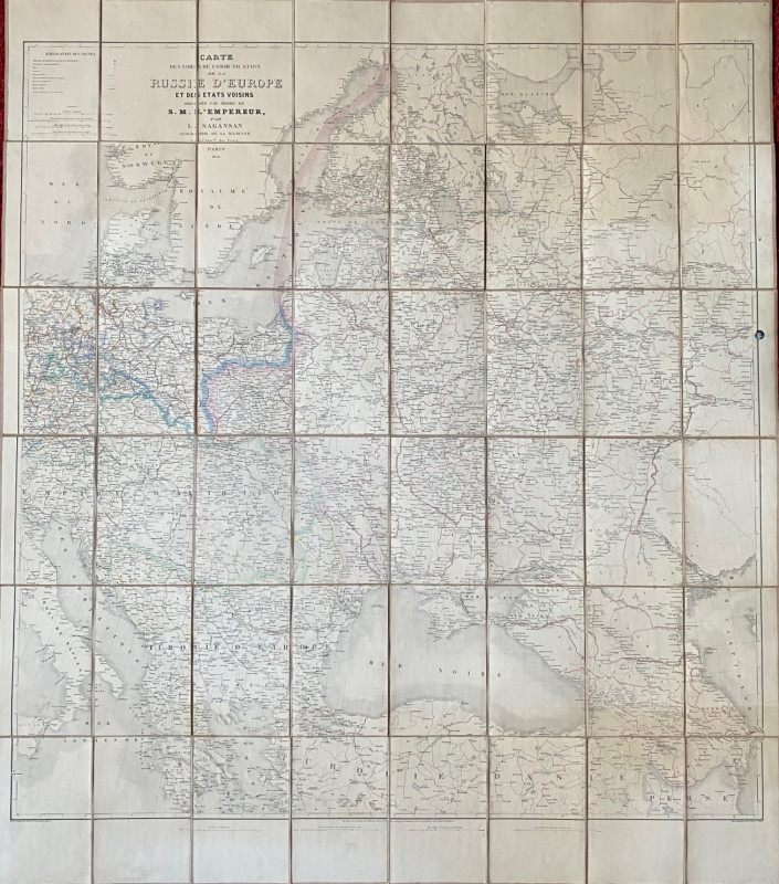
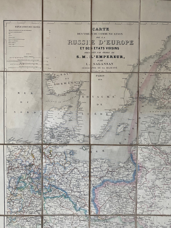
Map of European Russia and neighbouring states (Carte des Voies de Communication de la Russie d’Europe et des Etats Voisins) by L Sagansan, published by Avril Frėres, Paris 1854. On folding linen in 48 sections, size 118 by 102. With four scales including kilometres, Russian versts and English miles, approximately 45 miles to the inch. With a key to railway, roads, rivers, borders, cities and various administrative regions etc. Some hand-colouring. A very detailed map of Russia and its western borders at the beginning of the Crimean War. One margin has a dark circular spot about 1 cm. in diameter that does not affect the map. Good to VG condition
Author
Sagansan
Date
1854
Binding
Folding map on cloth
Publisher
Avril Frėres
Illustrator
Sagansan
Condition
Good to VG
Other books
If you liked the book you've just seen, you might be interested in other books from the same dealer below.
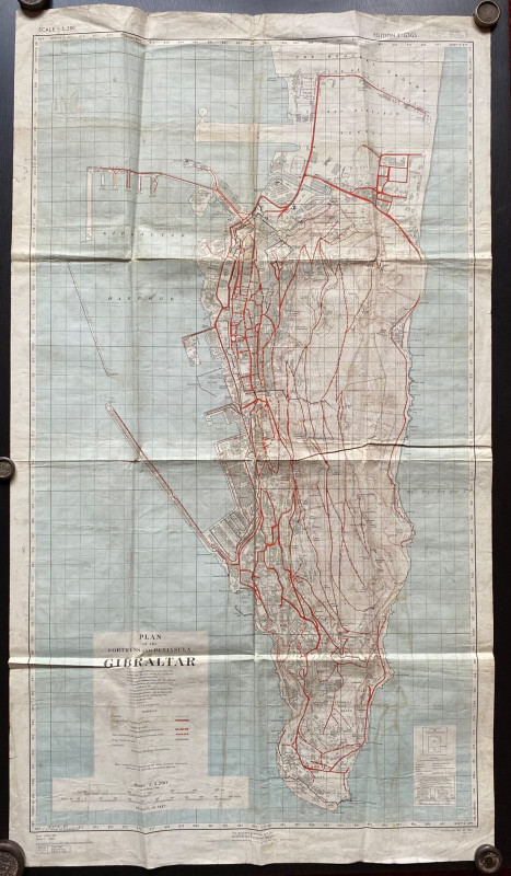
Plan of the Fortress and Peninsula of Gibraltar
British War Office & Air Ministry
British War Office & Air Ministry
£135.00
Offered by Arthur Hook
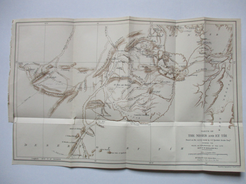
Map of Parts of the Negeb and Et Tih Palestine 188...
Drake
Palestine Exploration Fund
£40.00
Offered by Arthur Hook
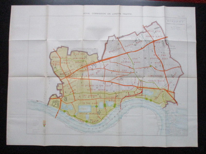
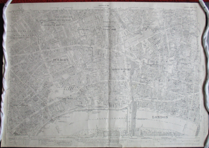
Plan of the London Metropolitan Borough of Stepney...
Ordnance Survey
Hansard
£45.00
Offered by Arthur Hook
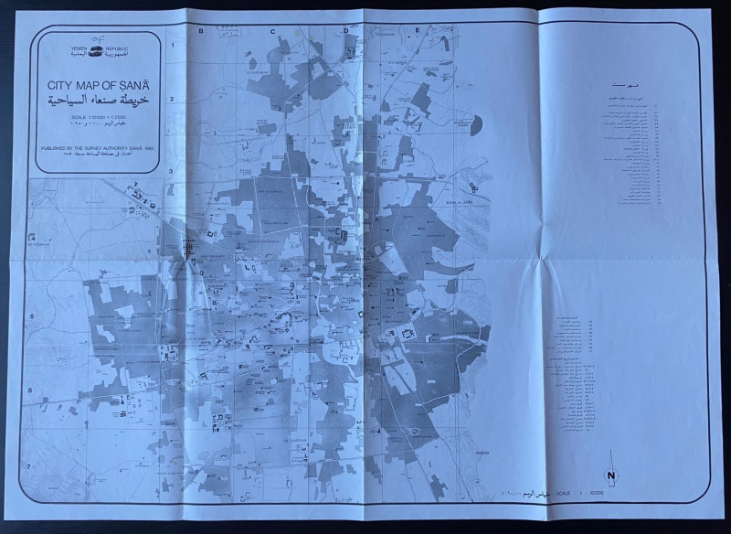
Republic of Yemen City Map of Sana
Survey Authority Sana
Survey Authority Sana
£110.00
Offered by Arthur Hook
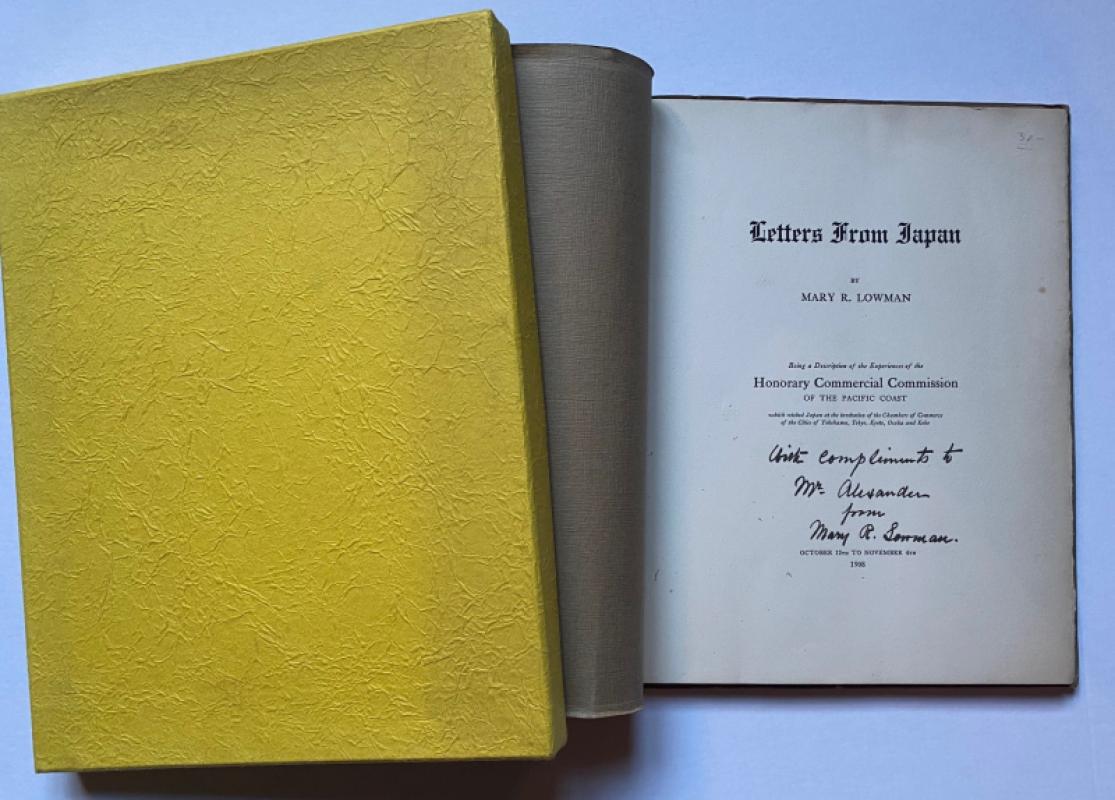
Letters from Japan Being a Description of the Expe...
Lowman
Lowman and Hanford
£175.00
Offered by Arthur Hook
Friends of the PBFA
For £10 get free entry to our fairs, updates from the PBFA and more.
Please email info@pbfa.org for more information