A New Map of England & Wales Projected upon the Trigonometrical Operations made for the General Survey of the Kingdom 1830

Book Description
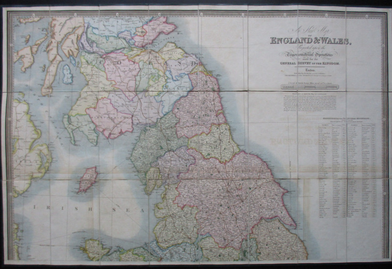
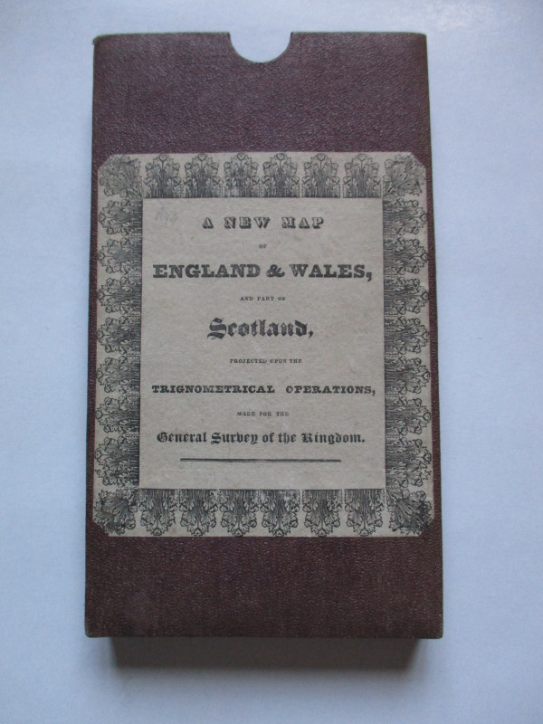
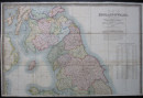
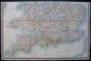
A New Map of England & Wales Projected upon the Trigonometrical Operations made for the General Survey of the Kingdom by James Wyld, London 1st. January 1830. On folding linen in two sheets, each in 24 sections, size 62.5 by 95 cm. Scale ten miles to the inch. With a key to features including turnpike roads, mail roads, railways, rivers, navigable canals gentlemen’s seats, towns, cities, villages etc. plus the principal stations of the Trignometrical Survey. There is also a table listing about 100 mountains and peaks that gives their altitude and locations. Hand coloured. One of the earliest maps to show the first railways. Folds into original slipcase with title and publisher’s label to the front. Slight offsetting to some sea areas but overall map and case in VG condition.
Author
Wyld
Date
1830
Binding
Map on linen in slipcase
Publisher
Wyld
Illustrator
Wyld
Condition
VG
Other books
If you liked the book you've just seen, you might be interested in other books from the same dealer below.
Barbara Hepworth Drawings from a Sculptor’s Landsc...
Hepworth
Cory Adams and Mackay
£45.00
Offered by Arthur Hook
Burma Railway Images of War. The original war draw...
Chalker
Mercer Books
£45.00
Offered by Arthur Hook
Railroadiana : A New History of England or picture...
Anon
Simpkin Marshall
£250.00
Offered by Arthur Hook
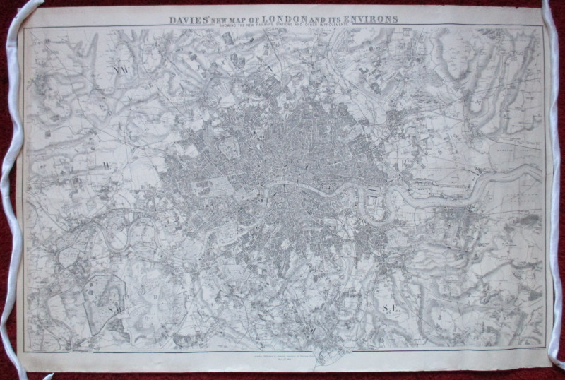
Davies’ New Map of London and its Environs showing...
Davies
Stanford
£175.00
Offered by Arthur Hook
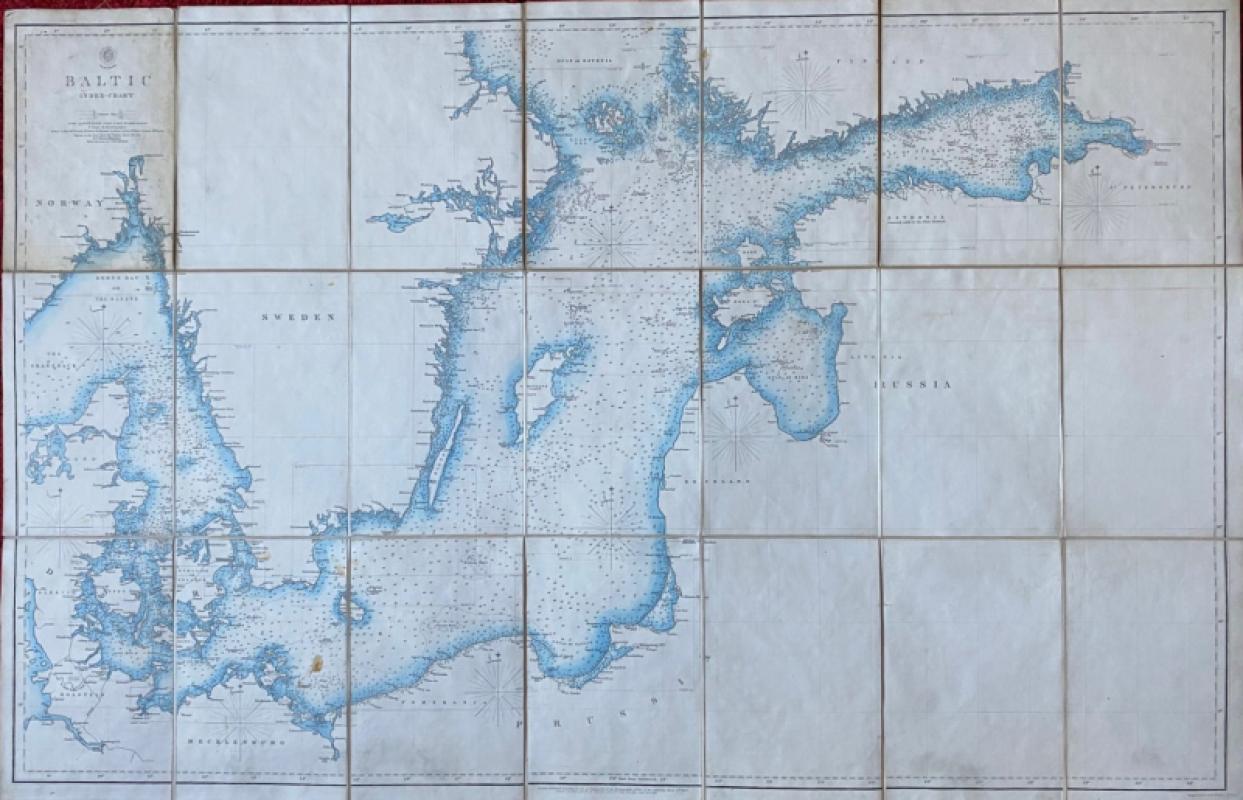
Map of the Baltic 1854
Anon
Hydrographic Office of the British Admiralty
£100.00
Offered by Arthur Hook
Friends of the PBFA
For £10 get free entry to our fairs, updates from the PBFA and more.
Please email info@pbfa.org for more information