Map of the Northern and Southern Part of Ross and Cromarty Shires
Book Description
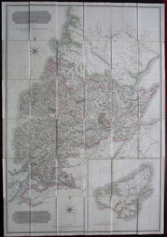
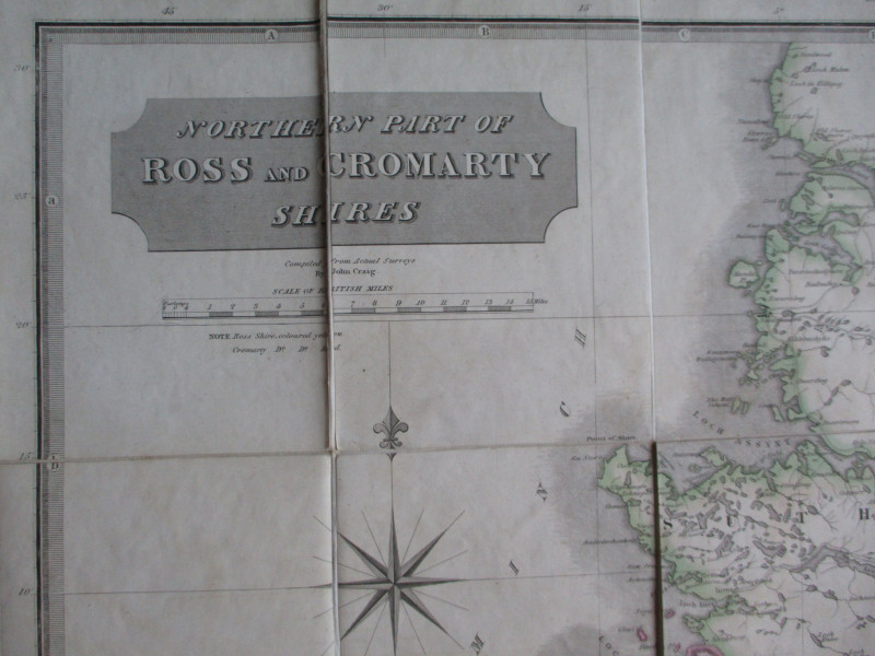
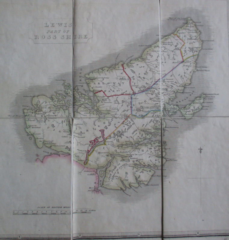
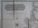
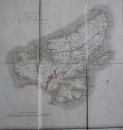
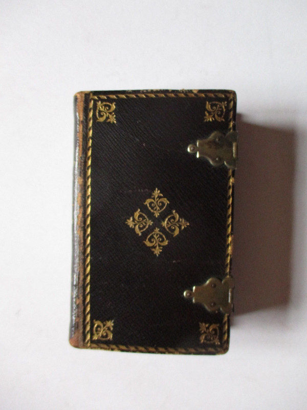
Map of the Northern and Southern Part of Ross and Cromarty Shires compiled from actual surveys by John Craig and published by Johnston, Edinburgh circa 1820. On folding linen in 18 sections, size 115 by 73 cm. Scale 3 miles to the inch, with an inset map of Lewis on a scale of 4 miles to the inch. Some contemporary hand-colouring. Folds into textured endpapers and then to original green textured slipcase. VG condition
Author
Craig
Date
1820
Binding
Map on linen in slipcase
Publisher
Johnston
Illustrator
Craig
Condition
VG
Other books
If you liked the book you've just seen, you might be interested in other books from the same dealer below.
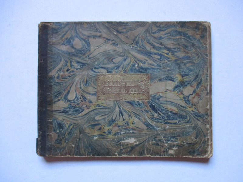
Bradshaw’s General Atlas with the latest Discoveri...
Bradshaw
Bradshaw
£325.00
Offered by Arthur Hook
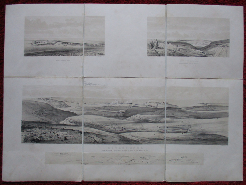
Maps, plans and views from Elphinstone’s Account o...
Elphinstone
Eyre and Spottiswoode
£525.00
Offered by Arthur Hook
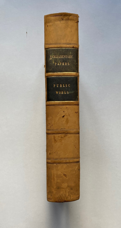
Parliamentary Reports on London and the Survey of...
House of Commons
Hansard
£235.00
Offered by Arthur Hook
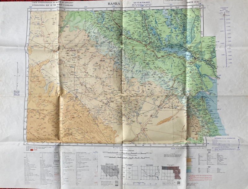
British Army Map of Basra 1941
British Army
British Army 512 Forward Survey Company, Royal Engineers
£85.00
Offered by Arthur Hook
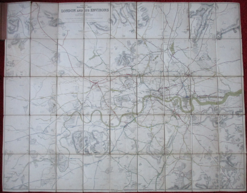
Official Railway Clearing House Map of London and...
Emslie
Railway Clearing House
£220.00
Offered by Arthur Hook
Friends of the PBFA
For £10 get free entry to our fairs, updates from the PBFA and more.
Please email info@pbfa.org for more information