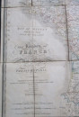
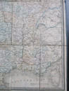
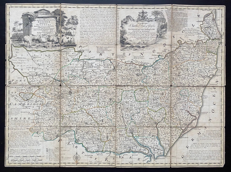
Wyld's Map of the Kingdom of France describing the New Limits according to the Treaty of Paris
Book Description
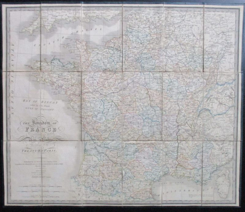
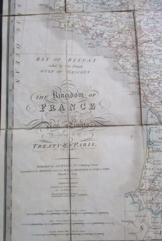
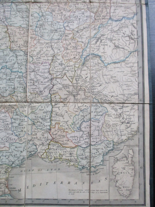
Wyld's Map of the Kingdom of France describing the New Limits according to the Treaty of Paris published by Wyld London March 1829. On folding linen in 18 sections size 66 by 55 cm. Scales in English miles and French leagues approximately 35 miles to the inch. Includes an inset map of Corsica. Some hand colouring. Once the property of John Pakington the 19th century politician and cabinet minister with his crest to the front. VG condition.
Author
Wyld
Date
1829
Publisher
Wyld
Illustrator
Wyld
Condition
VG
Other books
If you liked the book you've just seen, you might be interested in other books from the same dealer below.

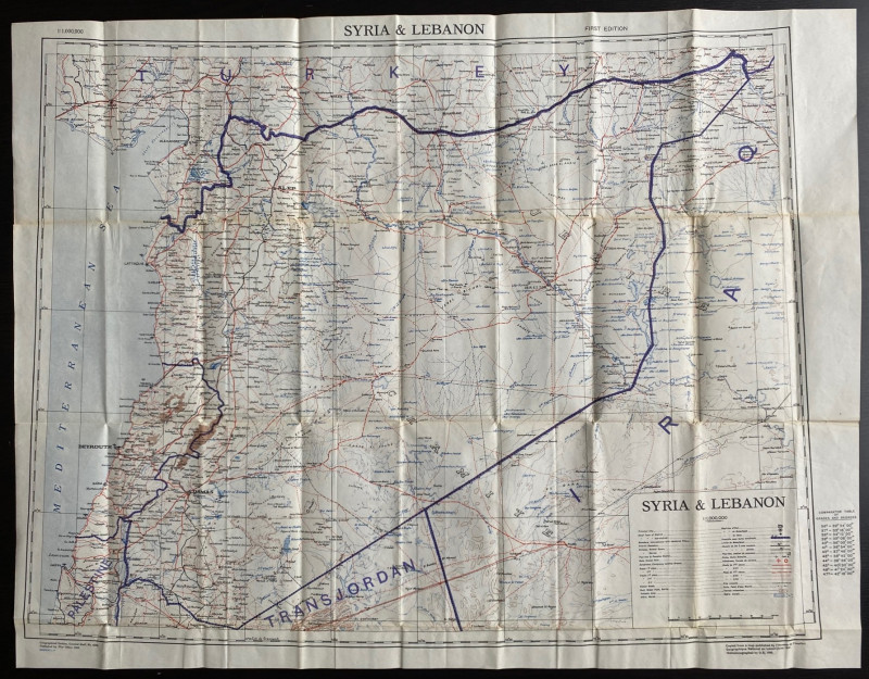
OS War Office Map of Syria and Lebanon 1942
British War Office
British War Office
£30.00
Offered by Arthur Hook
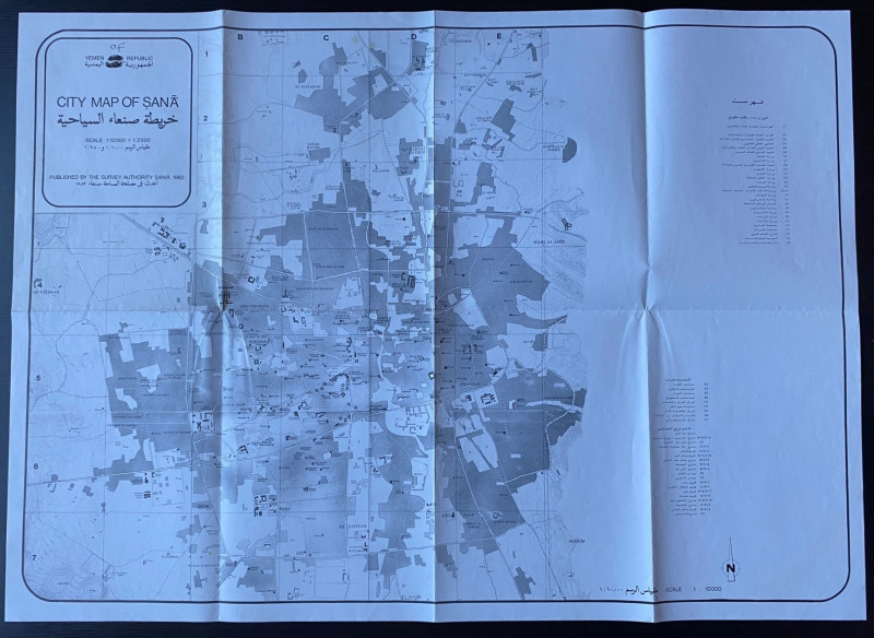
Republic of Yemen City Map of Sana
Survey Authority Sana
Survey Authority Sana
£110.00
Offered by Arthur Hook
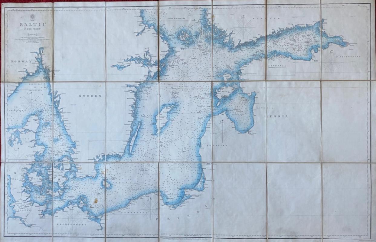
Map of the Baltic 1854
Anon
Hydrographic Office of the British Admiralty
£100.00
Offered by Arthur Hook
Friends of the PBFA
For £10 get free entry to our fairs, updates from the PBFA and more.
Please email info@pbfa.org for more information