An Accurate Map of Northampton Shire Divided into its Hundreds
Book Description
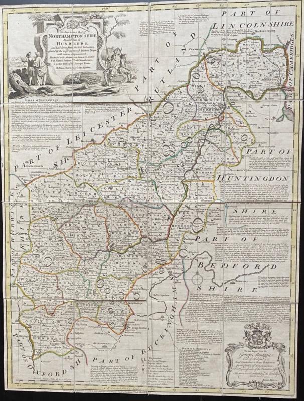
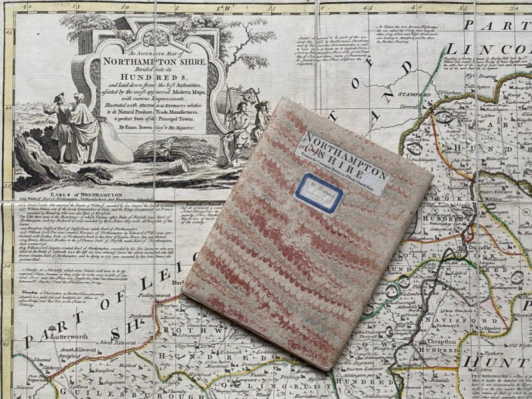
An Accurate Map of Northampton Shire Divided into its Hundreds, and laid down from the best Authorities, assisted by the most approved Modern Maps, with various Improvements, Illustrated with Historical Extracts relative to its Natural Products, Trade, Manufactures, & Present State of its Principal Towns by Emanuel Bowen, Geographer to His Majesty and printed by Carington Bowles London circa 1760. On folding linen in 16 sections, size 71 by 55 cm. Includes a decorative cartouche containing a dedication to George Montagu, Earl of Halifax etc. Contemporary hand colouring. Folds into orginal marbled slipcase. Map and case both in VG condition.
Author
Bowen
Date
1760
Binding
Folds into original slipcase
Publisher
Carrington Bowles
Illustrator
Bowen
Condition
VG
Other books
If you liked the book you've just seen, you might be interested in other books from the same dealer below.
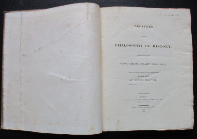
Lectures on the Philosophy of History
Blomfield
Black, Kingsbury, Parbury and Allen
£235.00
Offered by Arthur Hook
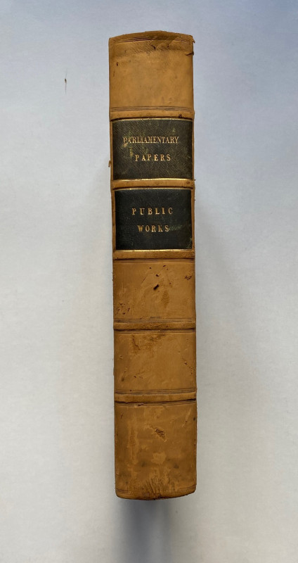
Parliamentary Reports on London and the Survey of...
House of Commons
Hansard
£235.00
Offered by Arthur Hook
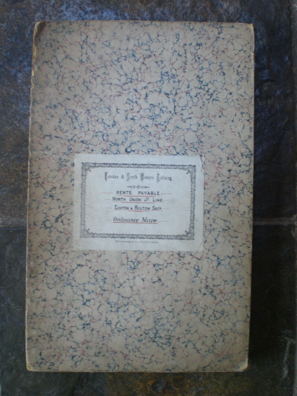
London and North Western Railway: Bolton and Chorl...
LNWR
London and North Western Railway
£145.00
Offered by Arthur Hook
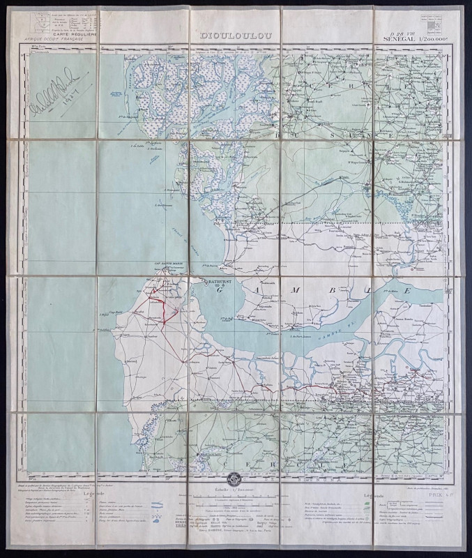
Map of Dioloulou Senegal 1924
Barrere
Service Geographique de l‘Afrique Francaise and Andriveau Goujon
£85.00
Offered by Arthur Hook
Friends of the PBFA
For £10 get free entry to our fairs, updates from the PBFA and more.
Please email info@pbfa.org for more information