City Map of Belfast (Stadtplan von Belfast) 1940

Book Description
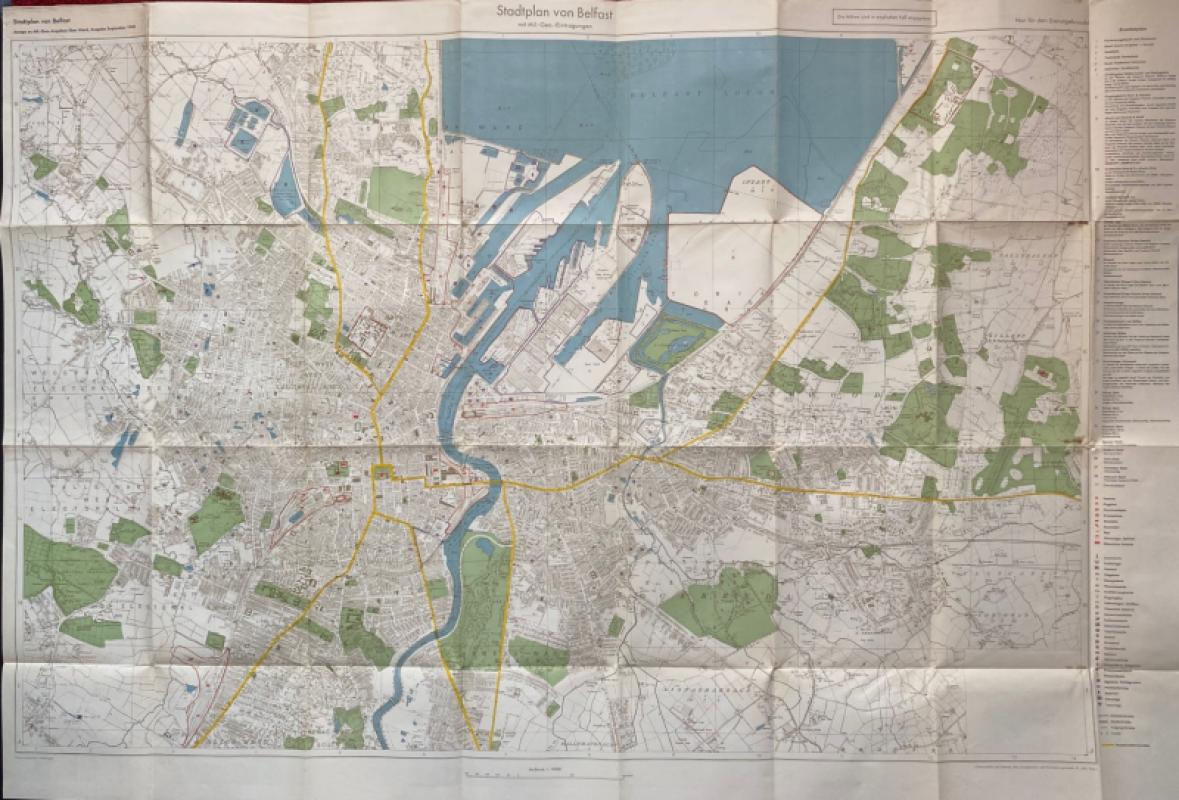
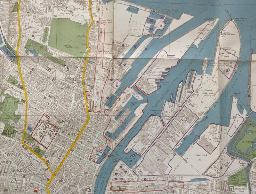
City Map of Belfast (Stadtplan von Belfast) published by the German General Staff, Berlin September 1940. On paper size 112 by 76 cm. Scale 1:10,000. A very detailed map created from pre-war British maps but amended for military and intelligence use. The words “Not for Distribution” in German are printed at the top of the map. Two keys with text in German provide information on 60 features including stations, power stations, mills, munitions and other factories, gas works, public buildings and docks. The docks of Harland and Wolff and Short and Harland are given prominence, though many other docks are shown. Most roads identified by name and these, like most of the other details on the map, are in English. Heights are shown in feet. Full colour. Has been folded. Two 2 cm. rust or foxing marks to a fold but the map is in overall VG condition.
Author
German General Staff,
Date
1940
Publisher
German General Staff,
Condition
Good
Other books
If you liked the book you've just seen, you might be interested in other books from the same dealer below.
Trench Map of the Arras area France 1917
Ordnance Survey for British General Staff
Ordnance Survey for British General Staff
£165.00
Offered by Arthur Hook
The Lady’s Manual of Homeopathic Treatment in the...
Ruddock
Homeopathic Publishing Company
£35.00
Offered by Arthur Hook
Burma Railway Images of War. The original war draw...
Chalker
Mercer Books
£45.00
Offered by Arthur Hook
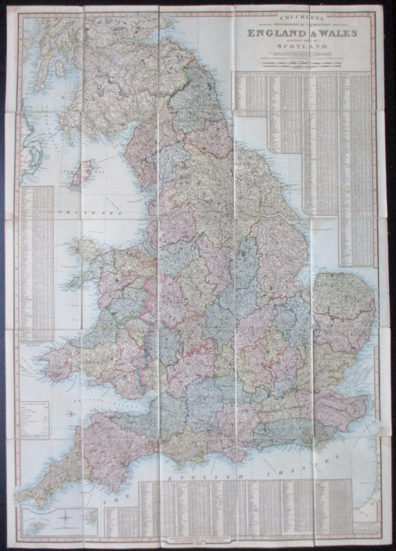
Scarborough’s Map of the British Isles shewing Geo...
Anon
The Scarborough Company
£100.00
Offered by Arthur Hook
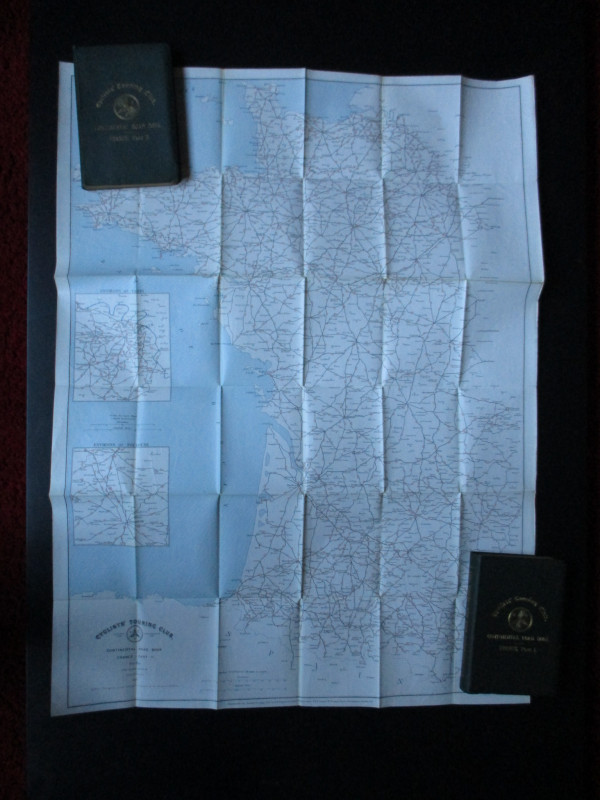
CTC Cycling Handbooks & Maps of France 1900
Anon
CTC & Andriveau Goujon
£50.00
Offered by Arthur Hook
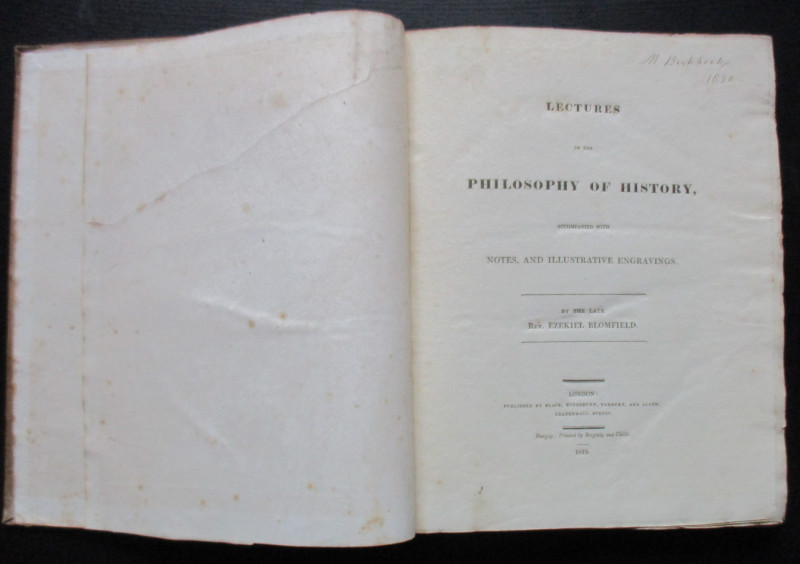
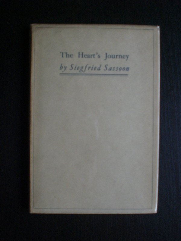
Lectures on the Philosophy of History
Blomfield
Black, Kingsbury, Parbury and Allen
£235.00
Offered by Arthur Hook
Friends of the PBFA
For £10 get free entry to our fairs, updates from the PBFA and more.
Please email info@pbfa.org for more information