CTC Cycling Handbooks & Maps of France 1900


Book Description
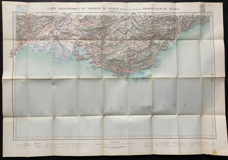
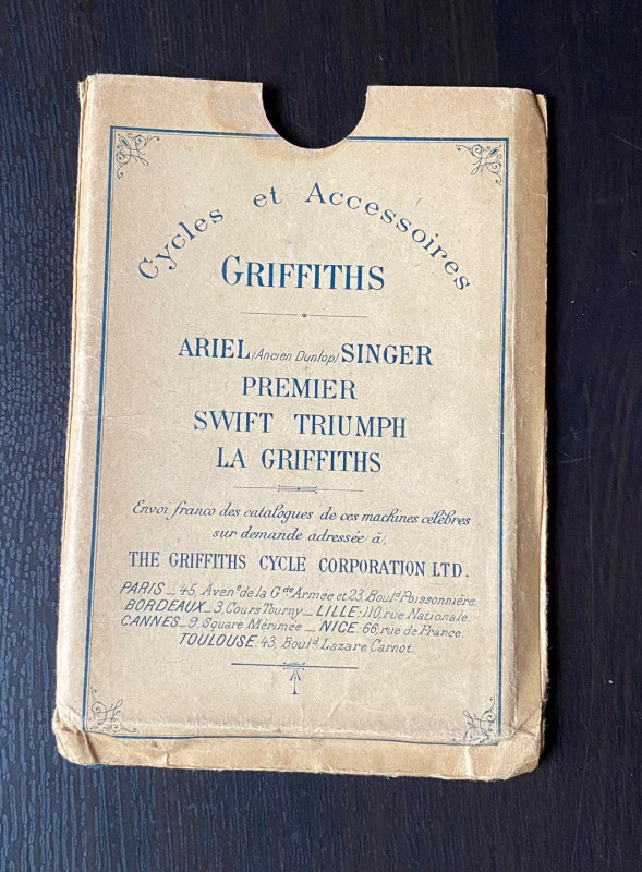
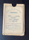
Cycling Map of the French Mediterranean published by Andriveau Goujon of Paris for the Touring Club de France 1902. On paper size…Scale 1:400,000. Colour. Covers an area from Montpellier in the west to San Remo over the Italian border in the east, and inland to Avignon, the Luberon and the mountains north of Nice. The French title of the map is Carte Velocepedique et Touriste de France sheet 15. Includes a colour coded key plus information on roads and railways. Heights are shown by shading or hachuring. A very detailed map for the early cycle or motor tourist. Folds into original slipcase with advertising for Griffiths Cycles. VG condition.
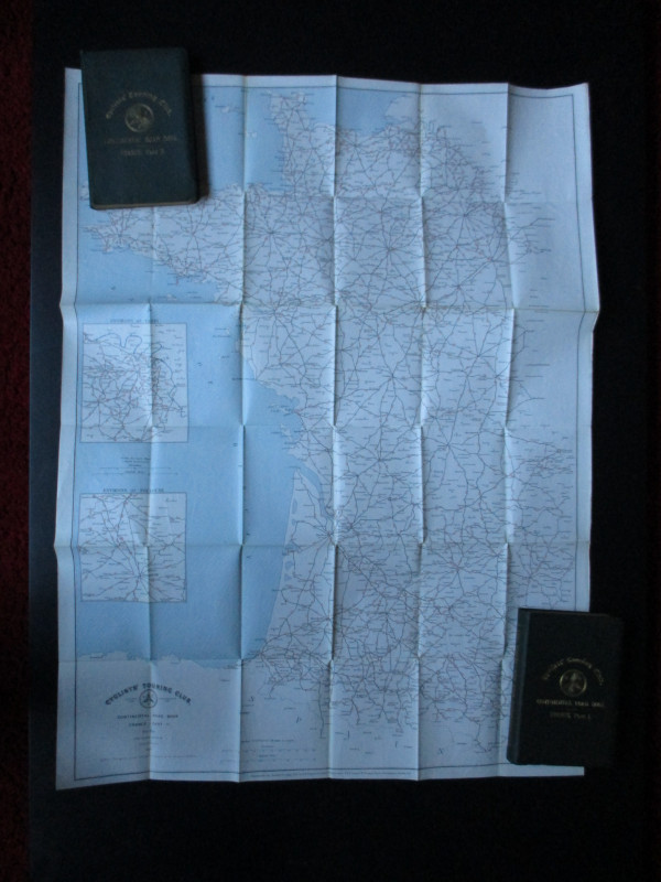
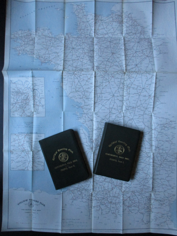
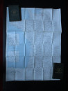
CTC Continental Handbooks: France Parts I and II, published by the Cyclists’ Touring Club, London 1899 and 1900. Part I includes intineraries in Corsica, Algeria and Tunis. Both in stiff cloth covers size 18 by 12 cm. 618 and 448 pages. With weatherproof folding maps in a wallet inside the front endpapers. VG condition.
Author
Anon
Date
1900
Binding
Hardback
Publisher
CTC & Andriveau Goujon
Condition
VG
Pages
1066
Other books
If you liked the book you've just seen, you might be interested in other books from the same dealer below.
Stanford’s Map of the Siberian Railway: The Great...
Stanford
Stanford
£595.00
Offered by Arthur Hook

Norman Hartnell original sketched design with fabr...
Hartnell
Unpublished
£175.00
Offered by Arthur Hook
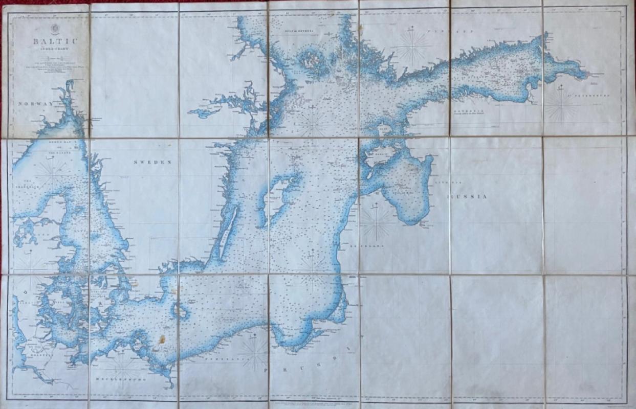
Map of the Baltic 1854
Anon
Hydrographic Office of the British Admiralty
£100.00
Offered by Arthur Hook
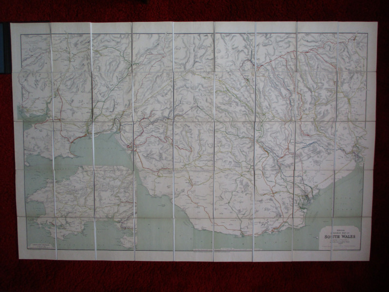
Railway Clearing House Map of South Wales 1926
Emslie
Railway Clearing House
£125.00
Offered by Arthur Hook

Friends of the PBFA
For £10 get free entry to our fairs, updates from the PBFA and more.
Please email info@pbfa.org for more information