Maps to accompany Handbooks of Serbia, Montenegro and Albania and Macedonia and surrounding Territories 1916


Book Description
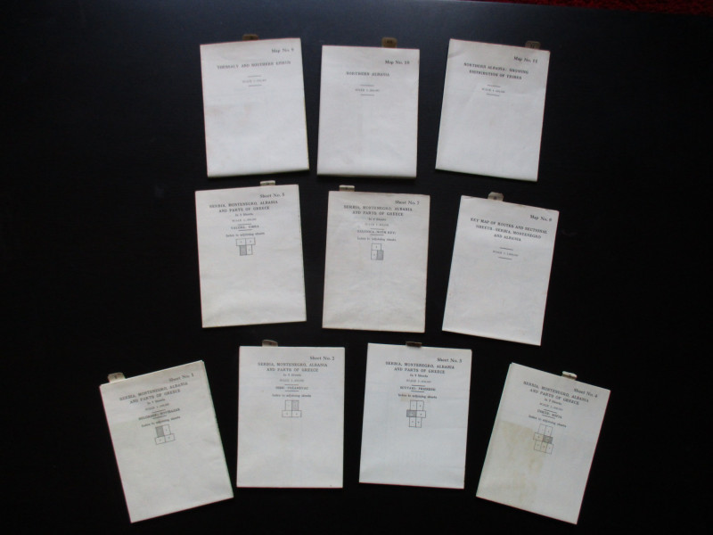
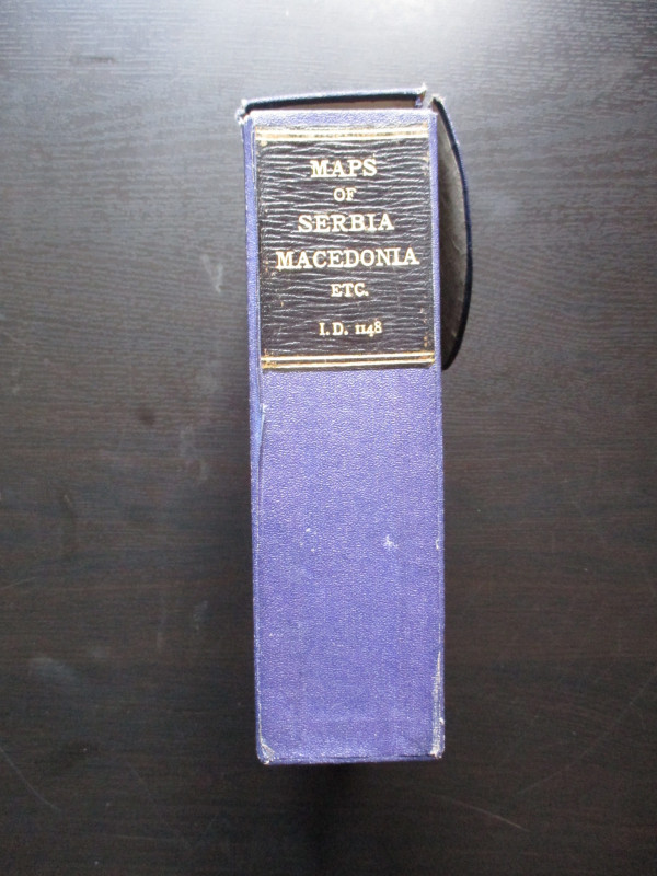
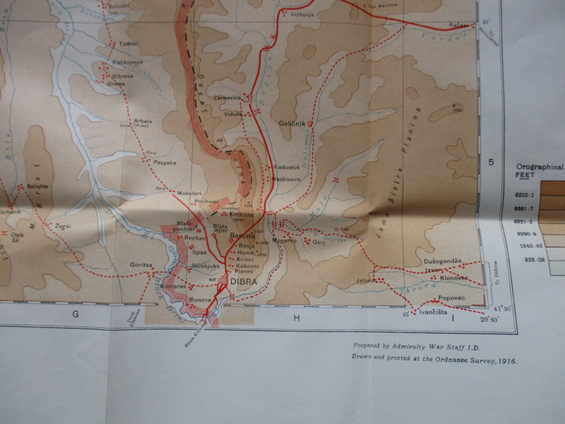
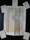
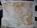
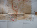
Maps to accompany Handbooks of Serbia, Montenegro and Albania and Macedonia and surrounding Territories prepared by the Admiralty War Staff, Intelligence Division and drawn and printed by the Ordnance Survey, 1916. A set of 10 maps (of the 11 published) in their original slipcase. The maps are on paper, with the 6 maps of Serbia, Montenegro, Albania and parts of Greece on a scale of 1:400,000; the key map of Routes and Sectional Sheets on a scale of 1:1,500,000; the map of Thessaly and Southern Epirus at 1:200,000; the map of Northern Albania at 1:200,000 and the map of Northern Albania showing Distribution of Tribes at 1:400,000. The sizes vary from 50 by 48 cm. up to 95 by 76 cm. A series of detailed keys provide information on such features as motor roads, cart tracks, light railways, churches, mosques, mountain huts, wireless stations, ports and anchorages etc. One map has an explanation of local Albanian geographical terms in English! Colour and with colour-coding for heights, which are also shown with contours. Lacks map 6, which covers the area south of Veles and includes Monastir. VG condition.
Author
British Admiralty War Staff
Date
1916
Binding
In original slipcase
Publisher
Ordnance Survey & British Admiralty
Condition
VG
Other books
If you liked the book you've just seen, you might be interested in other books from the same dealer below.
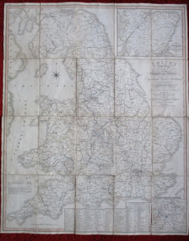
Railroadiana : A New History of England or picture...
Anon
Simpkin Marshall
£250.00
Offered by Arthur Hook
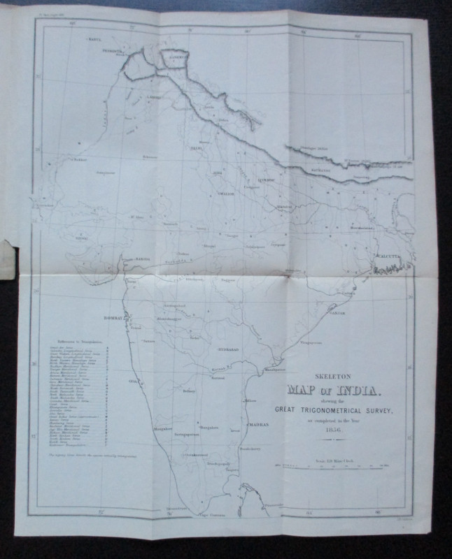
Geodesy; Especially Relating to the Great Trignome...
Strange
Royal United Institution
£45.00
Offered by Arthur Hook
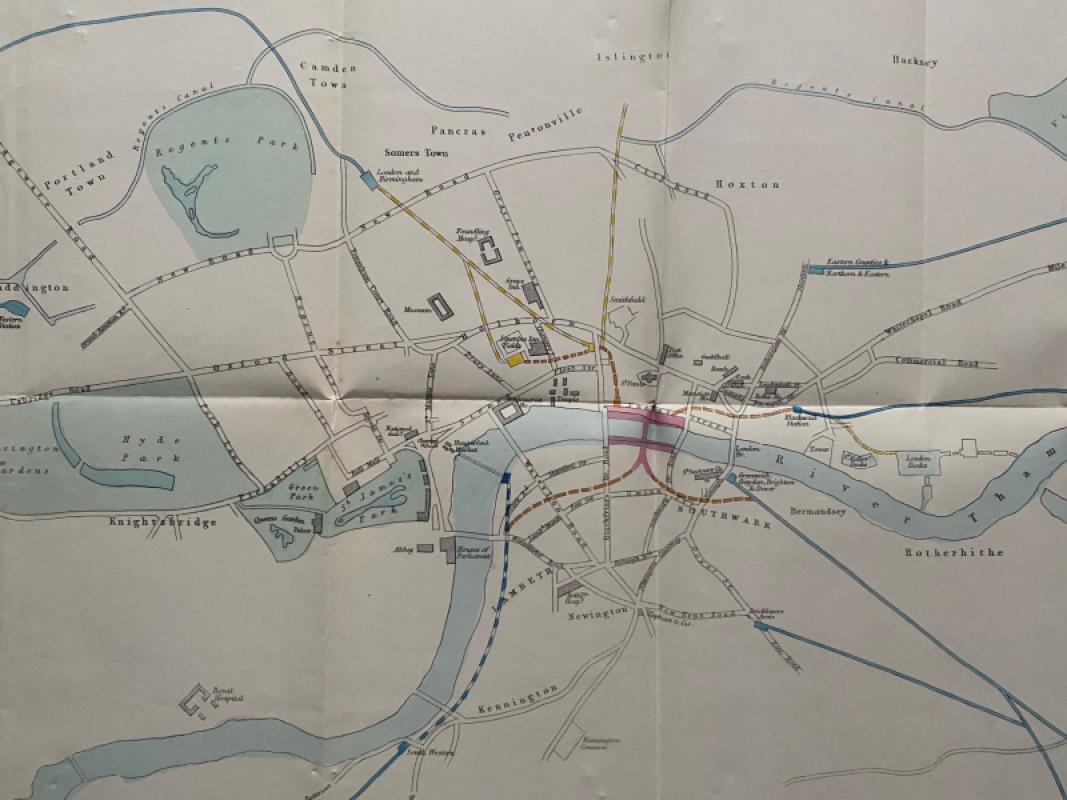
Map of London: a Plan for The General Metropolitan...
Arrowsmith
House of Commons
£135.00
Offered by Arthur Hook
Friends of the PBFA
For £10 get free entry to our fairs, updates from the PBFA and more.
Please email info@pbfa.org for more information