A New Map of England and Wales projected from the Trignometrical Operations made for the General Survey of the Kingdom
Book Description
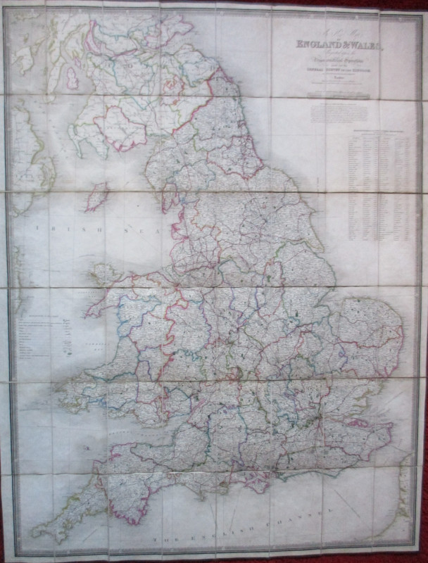
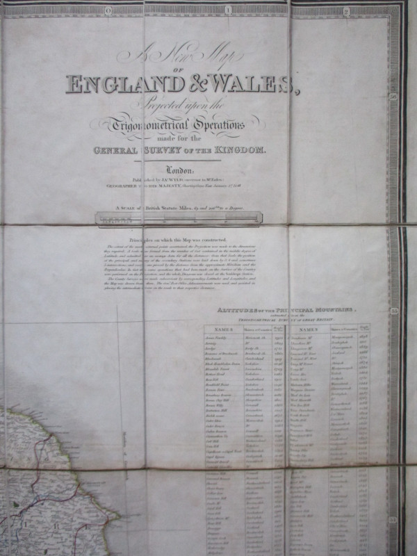
A New Map of England and Wales projected from the Trignometrical Operations made for the General Survey of the Kingdom by J Wyld, Geographer to Her Majesty, January 1846. Published by Wyld, London 1846. On folding linen in 48 sections, size 127 by 98 cm. Scale ten inches to the mile. Hand-coloured. With a key to features such as roads, cities, parishes, villages, railways, turnpikes, navigable canals etc. and with a panel of information on the altitude of the principal mountains. Folds into what is probably the original slipcase. VG condition
Author
Wyld
Date
1846
Binding
Map on linen with slipcase
Publisher
Wyld
Illustrator
Wyld
Condition
VG
Other books
If you liked the book you've just seen, you might be interested in other books from the same dealer below.
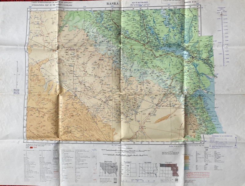
British Army Map of Basra 1941
British Army
British Army 512 Forward Survey Company, Royal Engineers
£85.00
Offered by Arthur Hook
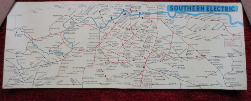
London Railway Map Carriage Print. Southern Electr...
Southern Electric
Southern Electric
£90.00
Offered by Arthur Hook
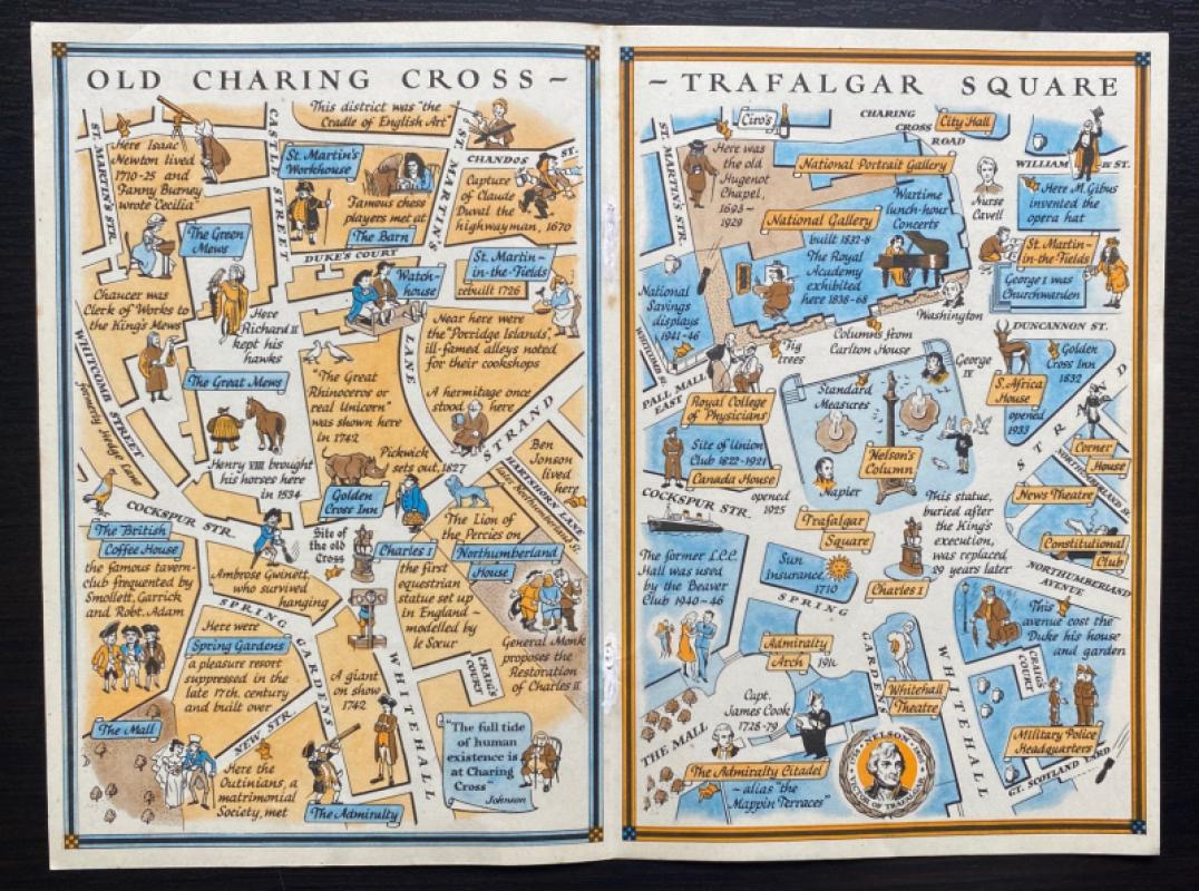
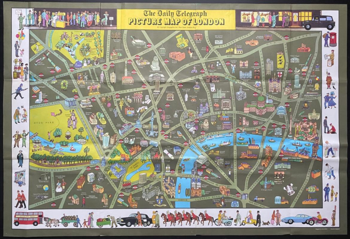
Two Maps of Charing Cross so displayed that the Ch...
Sayer
Strand Magazine
£35.00
Offered by Arthur Hook
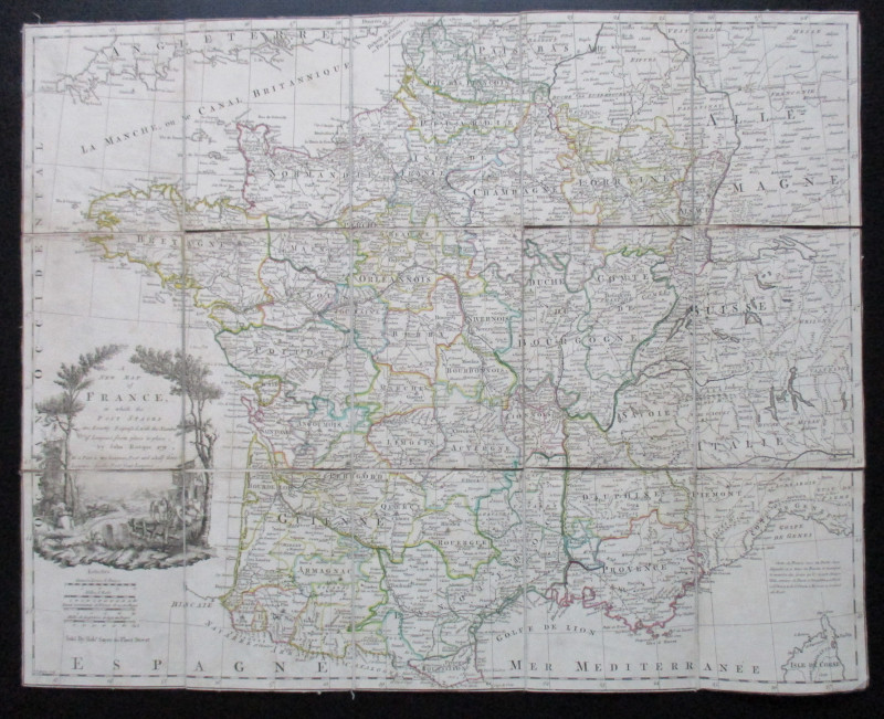
A New Map of France in which the Post Stages are E...
Rocque
Rocque and Sayer
£295.00
Offered by Arthur Hook
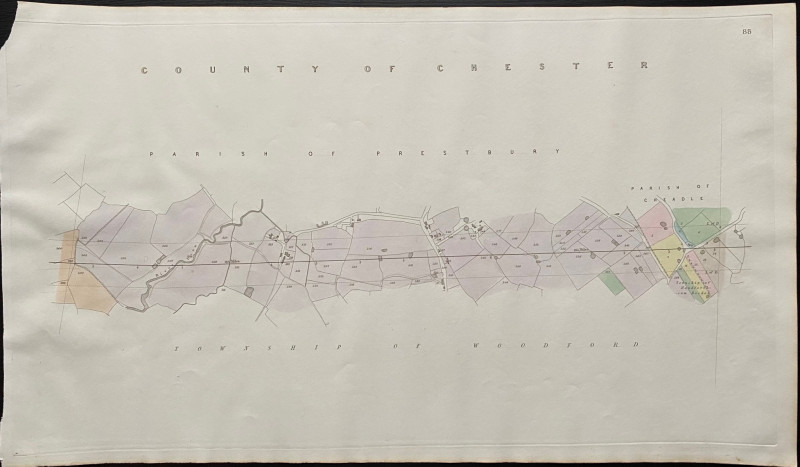
Map of the Parish of Prestbury to the Parish of Ch...
Rennie
Arrowsmith
£35.00
Offered by Arthur Hook
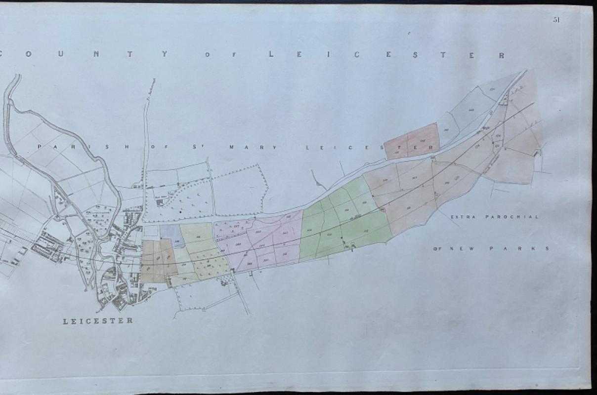
Map of Leicester and the Parish of St. Mary Leices...
Rennie
Arrowsmith
£50.00
Offered by Arthur Hook
Friends of the PBFA
For £10 get free entry to our fairs, updates from the PBFA and more.
Please email info@pbfa.org for more information