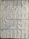
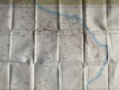
Map of Muscat and Oman, Saudi Arabia, Southern Yemen and the Trucial States


Book Description
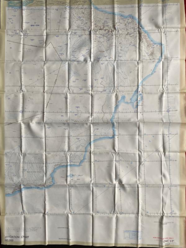
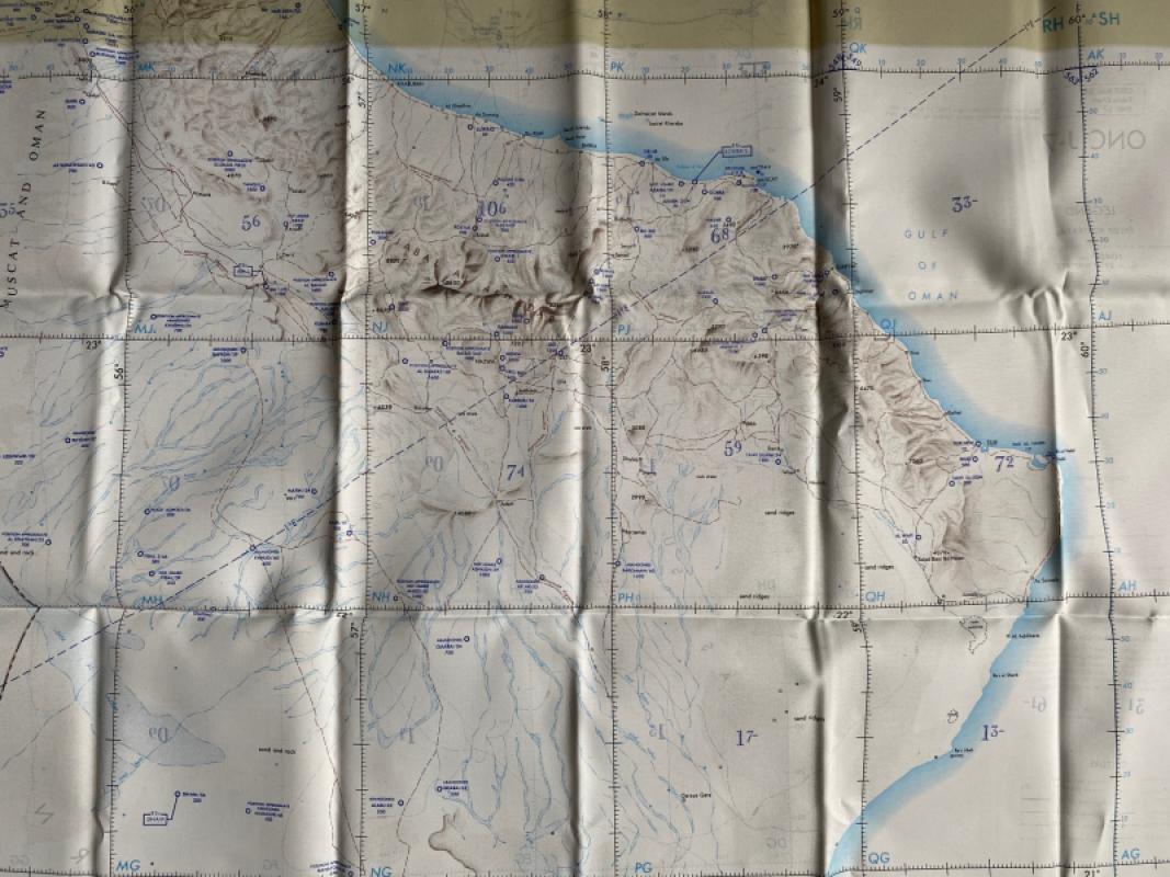
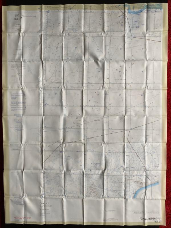
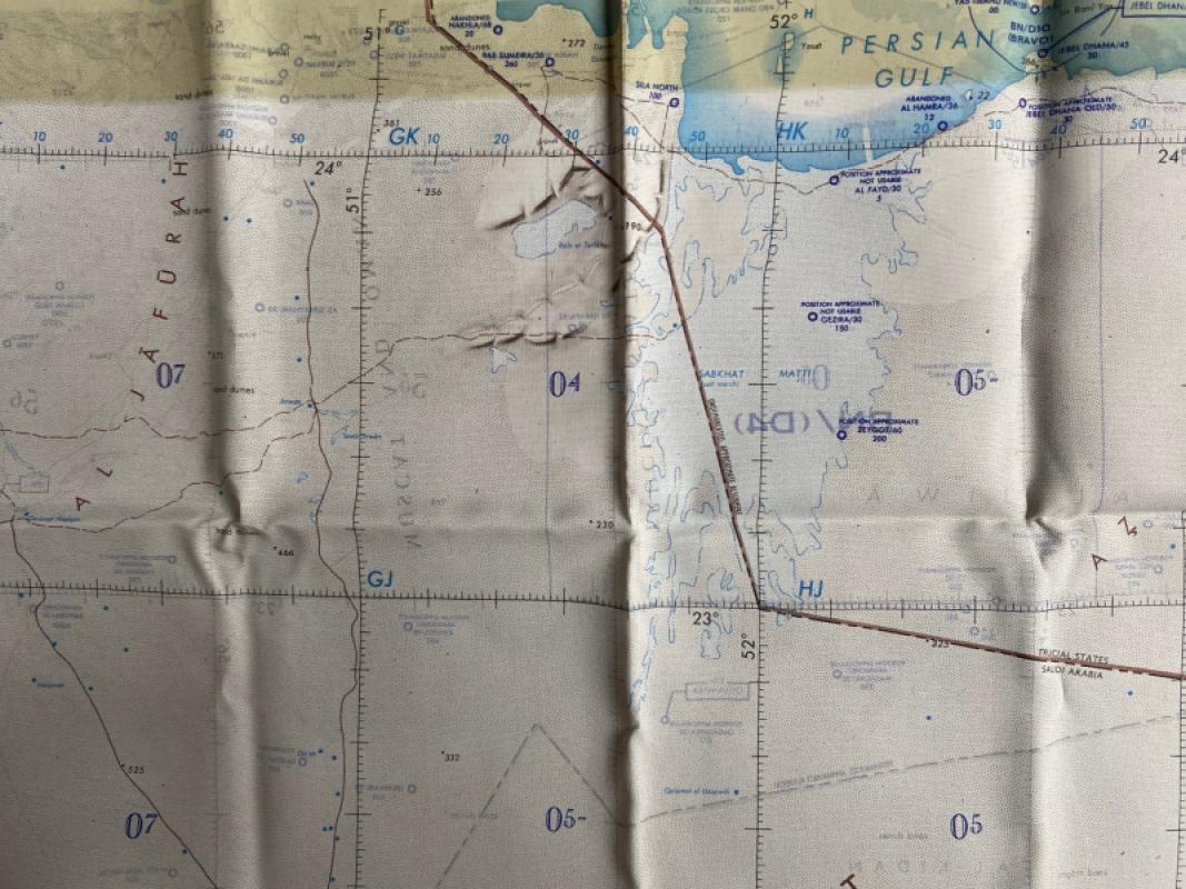
Map of Muscat and Oman, Saudi Arabia, Southern Yemen and the Trucial States, published by the United States Air Force (Aeronautical Chart and Information Centre) St. Louis 1969. On fabric size 104 by 77 cm. Scale 1:1,000,000. Coded ONC J-7 and GSGS Misc.350. Two maps, one on each side. The first side shows Muscat and Oman with the Gulf of Oman and Sangara Bay and the second side shows the Great Southern Desert of Arabia with some of the Persian Gulf coast. With two keys, one to cities, towns and villages, primary and secondary roads, tracks and trails, power lines etc., the other a key to aerodromes, runways, seaplane bases, and facilities available for jet aircraft. Heights are shown in relief by shading or hachuring. Colour. Has been folded. VG condition.
Author
USAAF
Date
1969
Publisher
US Air Force
Condition
VG
Other books
If you liked the book you've just seen, you might be interested in other books from the same dealer below.

An Apology for the True Christian Divinity: being...
Barclay
Richardson and Clark
£100.00
Offered by Arthur Hook
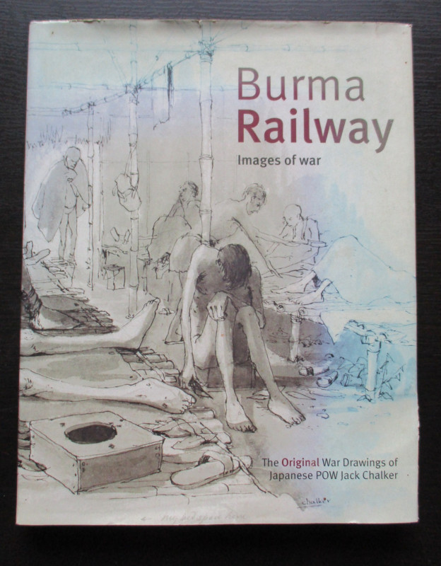
Burma Railway Images of War. The original war draw...
Chalker
Mercer Books
£45.00
Offered by Arthur Hook
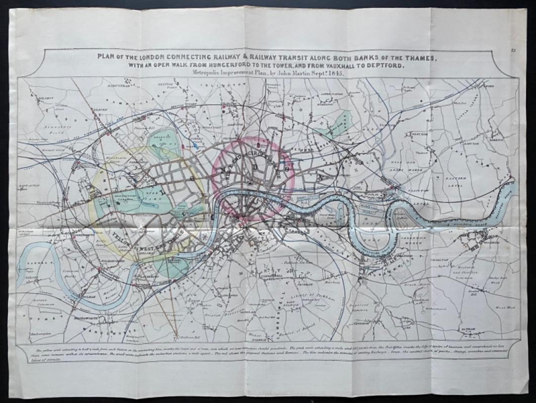
Plan for the London Connecting Railway: a Metropol...
John Martin
Hansard
£675.00
Offered by Arthur Hook

Cruchley’s New Map of the Railways of England and...
Cruchley
Cruchley
£85.00
Offered by Arthur Hook
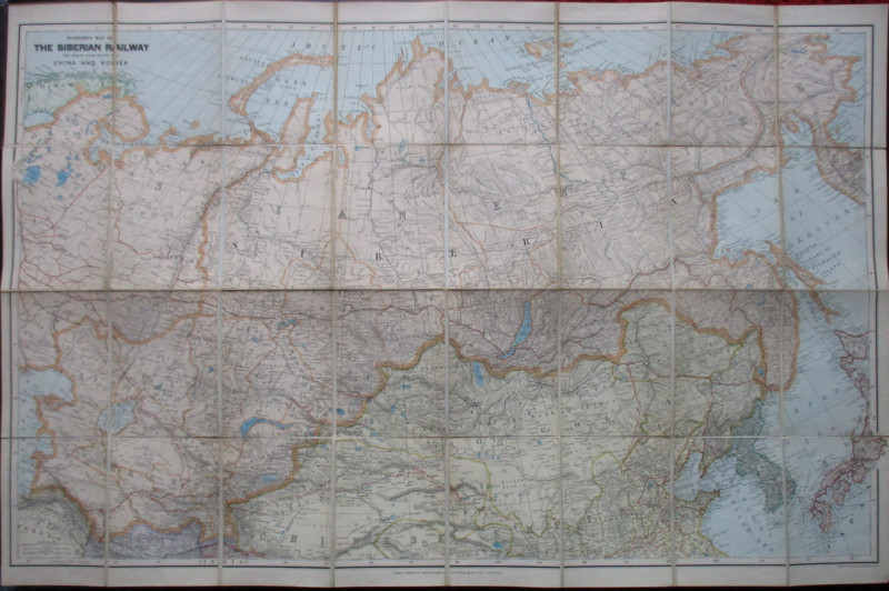
Stanford’s Map of the Siberian Railway: The Great...
Stanford
Stanford
£595.00
Offered by Arthur Hook
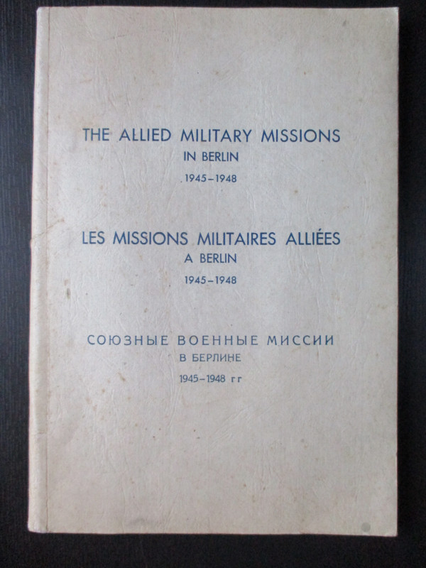
The Allied Military Missions in Berlin 1945-48
The Chief of Allied Liaison and Protocol Section
Allied Liaison and Protocol Section
£100.00
Offered by Arthur Hook
Friends of the PBFA
For £10 get free entry to our fairs, updates from the PBFA and more.
Please email info@pbfa.org for more information