Stanford’s Map of the Siberian Railway: The Great Land Route to China and Korea

Book Description
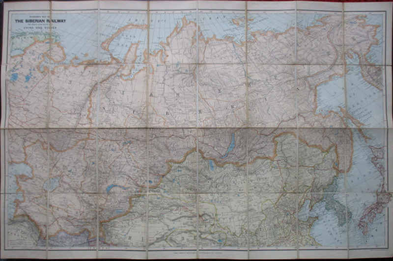
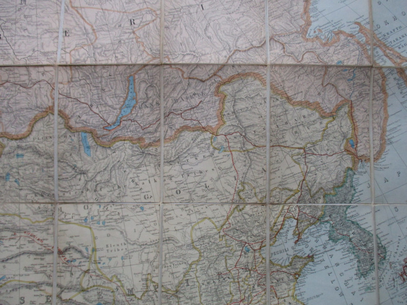
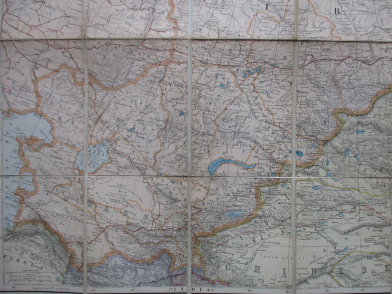
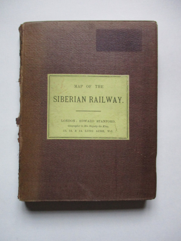
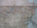
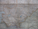
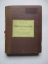
Stanford’s Map of the Siberian Railway: The Great Land Route to China and Korea, published by Stanford, London December 1st 1903. On folding linen in 32 sections, size 116 by 76 cm. Scale 100 miles to the inch. Scales in kilometres and Russian versts are also included. Colour. Heights are shown by hachuring or shading. The map covers an area from eastern Russia to Korea and part of Japan in the east and lands north of a line from the Caspian Sea and Herat across to Shantung. It appears to be the first edition of the Stanford map of the Trans-Siberian railway: the first trains ran from Moscow in the summer of 1903 but the line to Vladivostok wasn't completed until the following year. A detailed map in VG condition. Folds into original stiff boards with the Stanford label to the front.Some rubbing to spine.
Author
Stanford
Date
1903
Binding
Folds into stiff boards
Publisher
Stanford
Condition
VG
Other books
If you liked the book you've just seen, you might be interested in other books from the same dealer below.
Ordnance Survey map of City of London (part) with...
Yelland
Ordnance Survey
£55.00
Offered by Arthur Hook
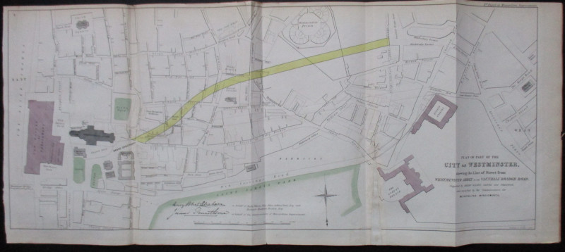
Plan of Part of the City of Westminster shewing th...
Pennethorne and Abrahams
Hansard
£95.00
Offered by Arthur Hook
Official Railway Clearing House Map of London and...
Emslie
Railway Clearing House
£220.00
Offered by Arthur Hook
The Lady’s Manual of Homeopathic Treatment in the...
Ruddock
Homeopathic Publishing Company
£35.00
Offered by Arthur Hook
Friends of the PBFA
For £10 get free entry to our fairs, updates from the PBFA and more.
Please email info@pbfa.org for more information