Map of States of America from the Best Authorities
Book Description
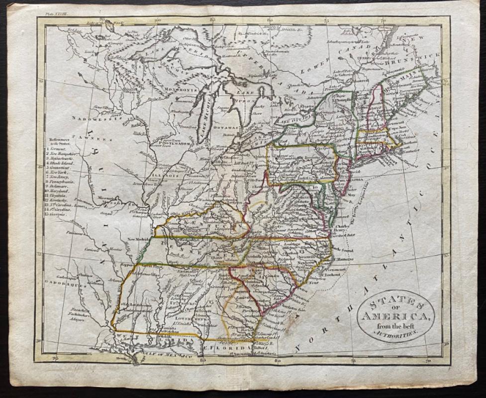
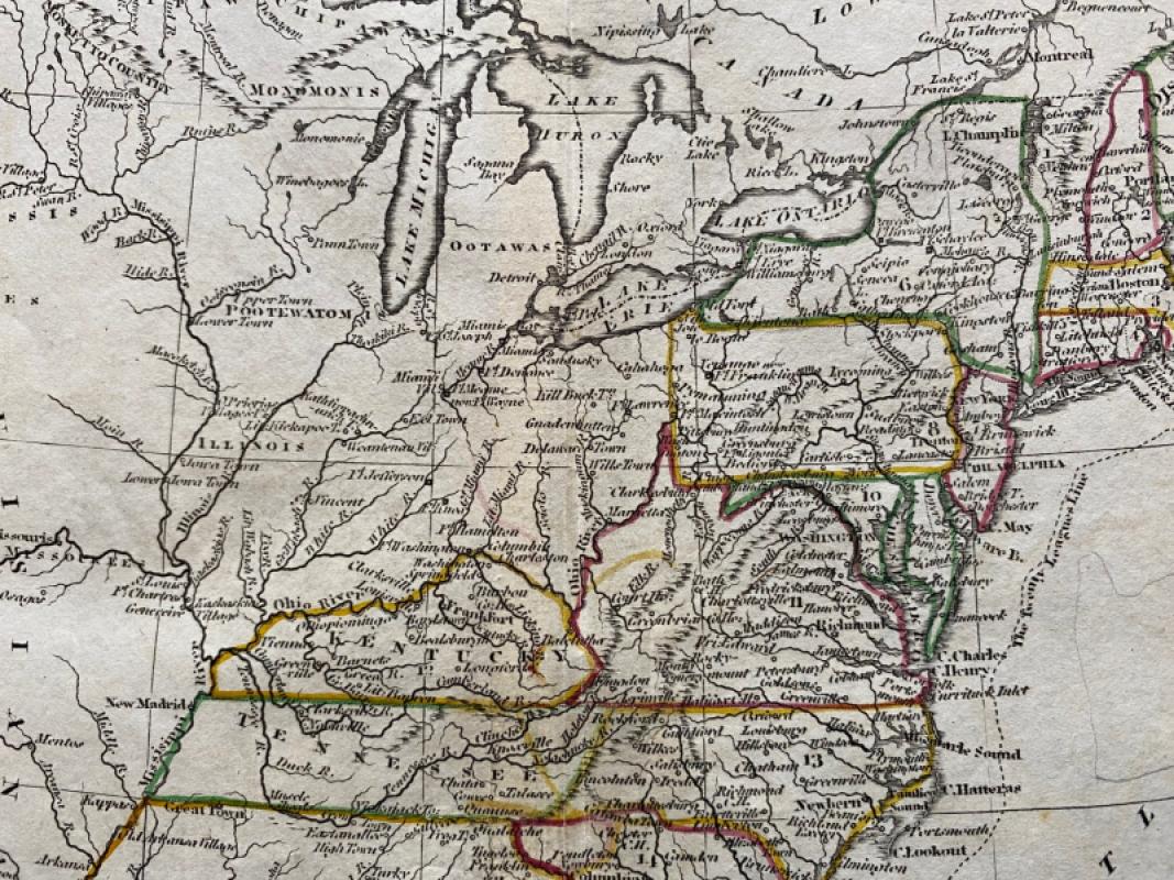
Map of States of America from the Best Authorities Engraved by John Russell and published by Rivington, Wilkie and others, London 1818 for an Atlas to Guthrie’s Geographical Grammar. On paper size 25 by 21 cm. Some use of hand colouring to mark the state boundaries, probably contemporary. South of Tennessee, the Carolinas and Georgia are West Florida and Florida, though only the north of each appears on the map. Georgia contains areas named Upper and Lower Creeks. Louisiana takes up much of the area west of the Mississippi. Guthrie’s Atlas was first published in the late 18th century and the London engraver and printer John Russell provided the maps of the 1818 edition. The map has a piano key style border with latitude and longitude along each edge. Has been folded. Good to VG condition.
Author
Russell
Date
1818
Publisher
Rivington, Wilkie and others
Illustrator
Russell
Condition
Good to VG
Other books
If you liked the book you've just seen, you might be interested in other books from the same dealer below.

Parliamentary Reports on London and the Survey of...
House of Commons
Hansard
£235.00
Offered by Arthur Hook

The London Almanack for the Year of Christ 1841
Anon
The London Company of Stationers
£125.00
Offered by Arthur Hook

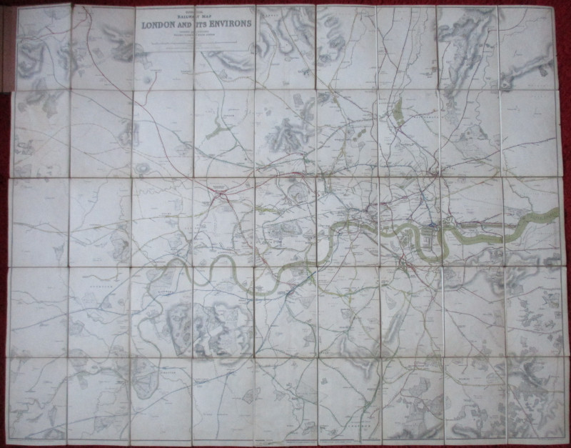
Official Railway Clearing House Map of London and...
Emslie
Railway Clearing House
£220.00
Offered by Arthur Hook

Richard’s Comprehensive Geography of the Chinese E...
Kennelly
T’Usewei Press
£210.00
Offered by Arthur Hook

Friends of the PBFA
For £10 get free entry to our fairs, updates from the PBFA and more.
Please email info@pbfa.org for more information