Bradshaw’s Continental Guide and Handbook 1854

Book Description
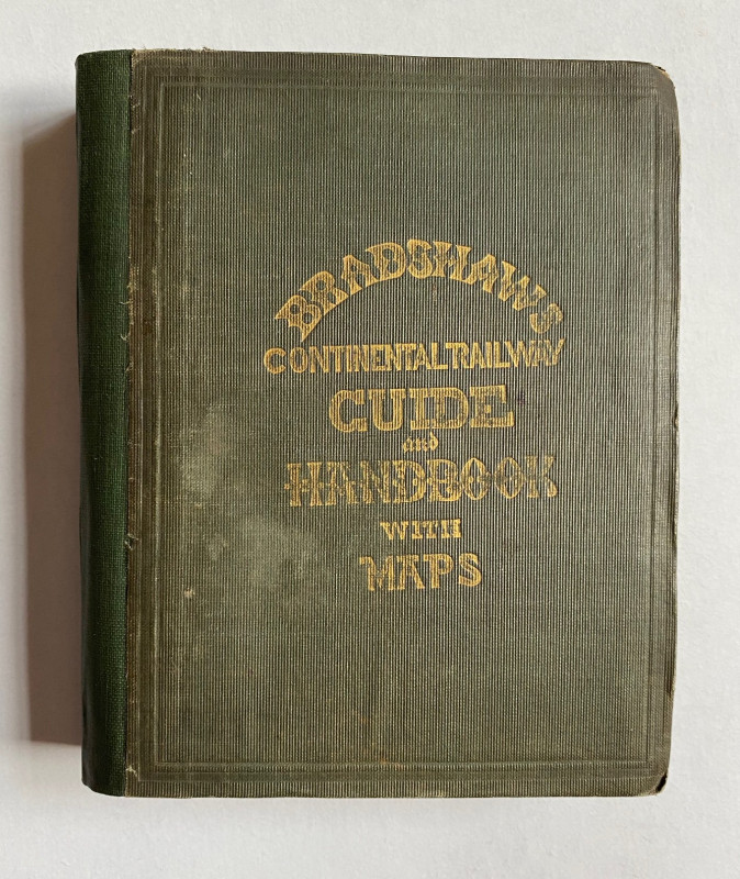
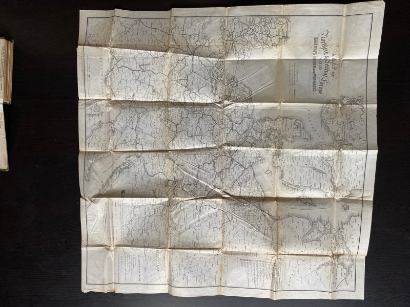
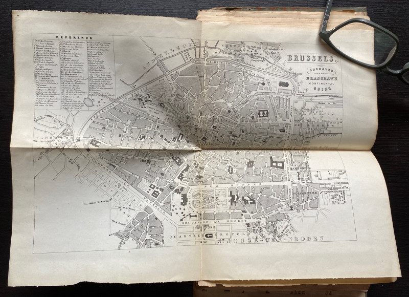
Bradshaw’s Continental Guide and Handbook published by Adams, London November 1854. (Number 54, 11th Month 1854). In stiff cloth covers size 16 by 13 cm. 208 pages. This pocket guide is described as a Traveller’s Manual for the Whole Continent of Europe. It includes a map of the railways of Europe, a map of France and plans of the cities of Paris, Brussels, Antwerp, Ghent, Mayence, The Hague, Ostend, Frankfurt and the Rhine plus a folding chart of European currencies. An early example of a guide for railway travellers with information on timetables, hotels, itineraries and tips for the intrepid. Repairs to front hinge and a recent green cloth spine. Several of the maps are in a fragile condition with occasional tears and one is detached but all appear to be present and complete. Owner’s name in ink above the advertisements in the front endpaper. Good condition with these qualifications.
Author
Bradshaw
Date
1854
Binding
Hardback
Publisher
Adams
Condition
Good
Pages
208
Other books
If you liked the book you've just seen, you might be interested in other books from the same dealer below.
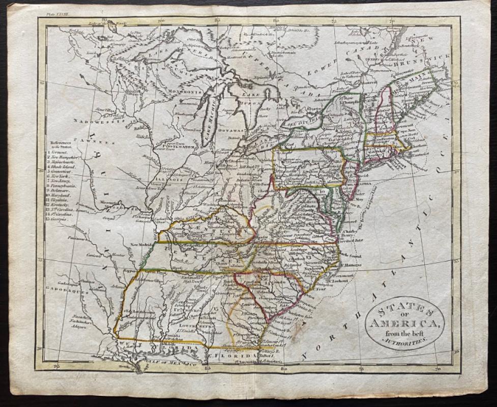
Map of States of America from the Best Authorities
Russell
Rivington, Wilkie and others
£120.00
Offered by Arthur Hook
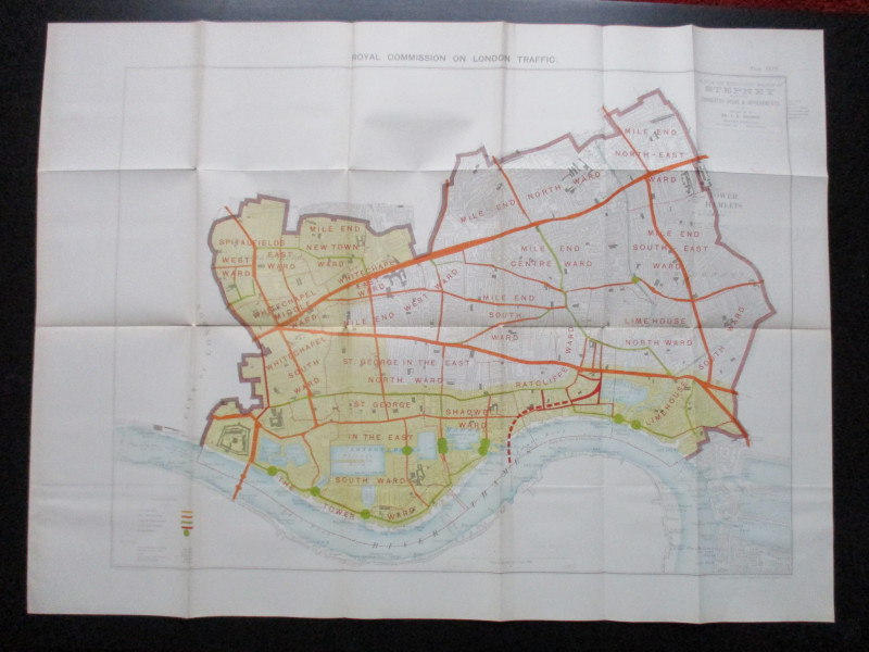
Plan of the London Metropolitan Borough of Stepney...
Ordnance Survey
Hansard
£45.00
Offered by Arthur Hook
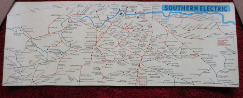
London Railway Map Carriage Print. Southern Electr...
Southern Electric
Southern Electric
£90.00
Offered by Arthur Hook
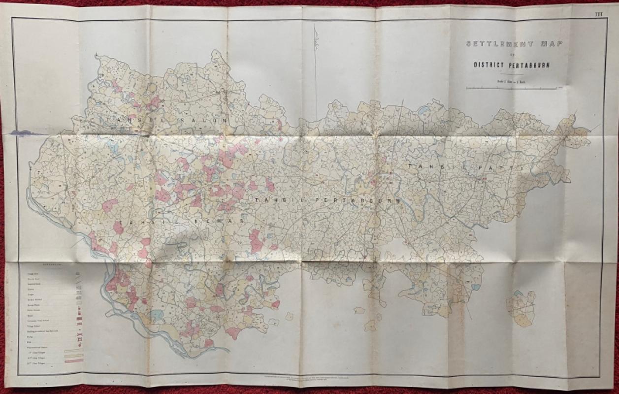
Settlement Map of District Pertabgurh (Pratapgarh...
Survey of India
Survey of India
£100.00
Offered by Arthur Hook
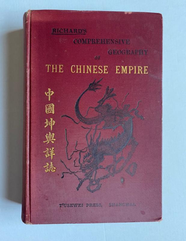
Richard’s Comprehensive Geography of the Chinese E...
Kennelly
T’Usewei Press
£210.00
Offered by Arthur Hook

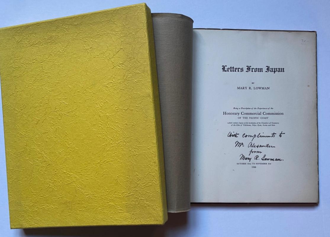
Letters from Japan Being a Description of the Expe...
Lowman
Lowman and Hanford
£175.00
Offered by Arthur Hook
Friends of the PBFA
For £10 get free entry to our fairs, updates from the PBFA and more.
Please email info@pbfa.org for more information