Plan of the London Metropolitan Borough of Stepney showing congested areas and improvements 1905


Book Description
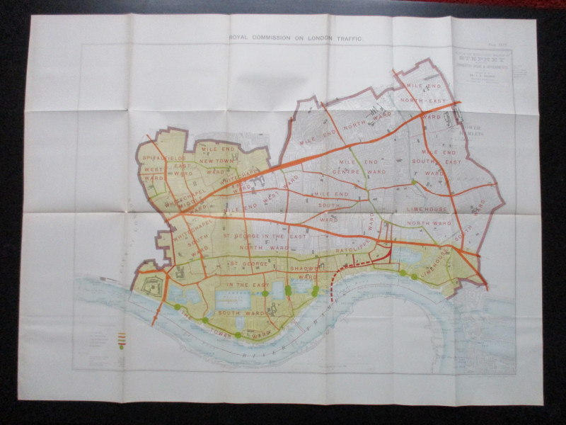
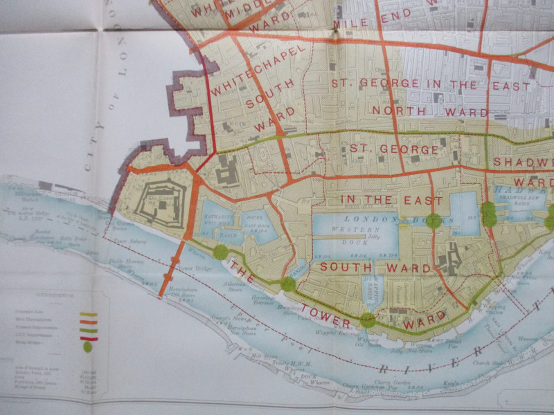
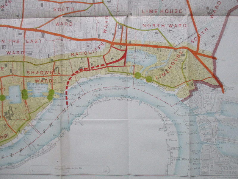
Plan of the London Metropolitan Borough of Stepney showing congested areas and improvements. Printed by the Ordnance Survey Southampton 1905 for the House of Commons. On paper size 90 by 67 cm. Scale 10 inches to the mile Includes the Thames from London Bridge to West India Dock with all the wharves, docks and frontages. Includes a colour-coded key and population data. A very detailed map Has been folded. VG.
Author
Ordnance Survey
Date
1905
Publisher
Hansard
Illustrator
Ordnance Survey
Condition
VG to Mint
Other books
If you liked the book you've just seen, you might be interested in other books from the same dealer below.
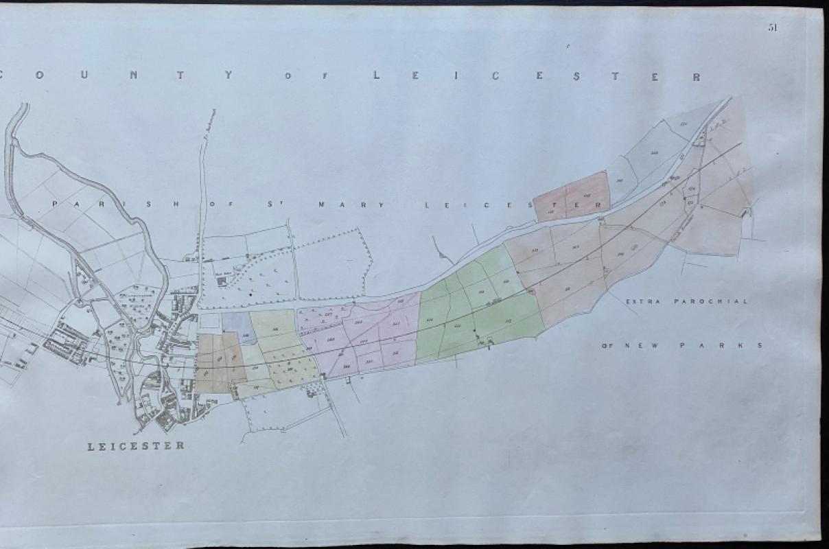
Map of Leicester and the Parish of St. Mary Leices...
Rennie
Arrowsmith
£50.00
Offered by Arthur Hook
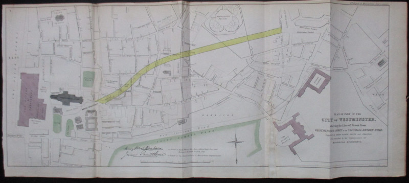
Plan of Part of the City of Westminster shewing th...
Pennethorne and Abrahams
Hansard
£95.00
Offered by Arthur Hook

Maps, plans and views from Elphinstone’s Account o...
Elphinstone
Eyre and Spottiswoode
£525.00
Offered by Arthur Hook
Friends of the PBFA
For £10 get free entry to our fairs, updates from the PBFA and more.
Please email info@pbfa.org for more information