Map of London: a Plan for The General Metropolitan Terminus and Extension Railway 1846
Book Description
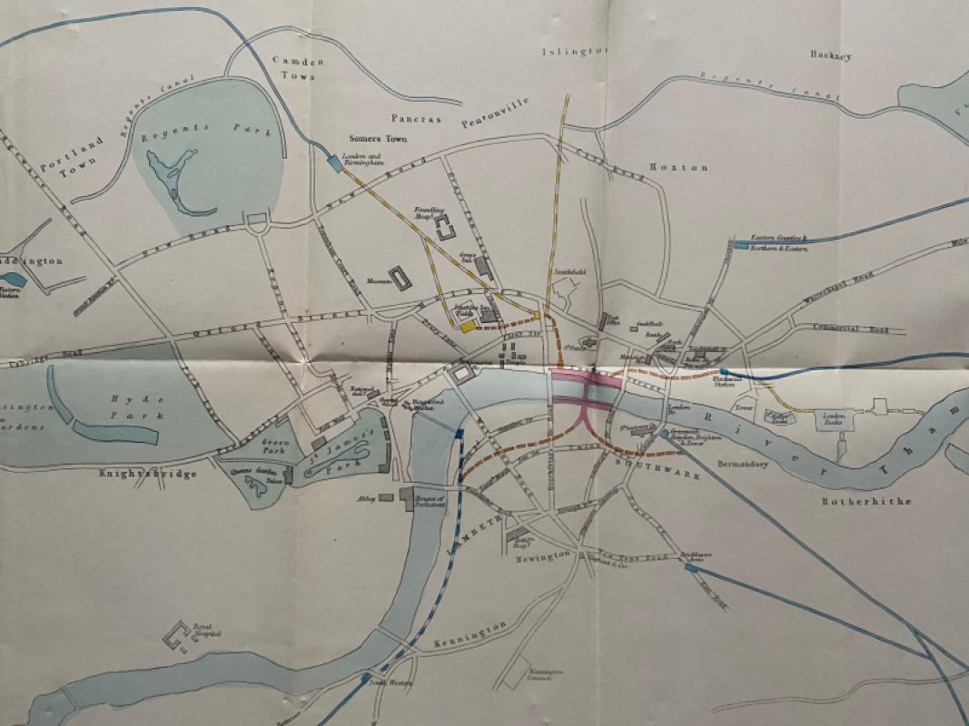
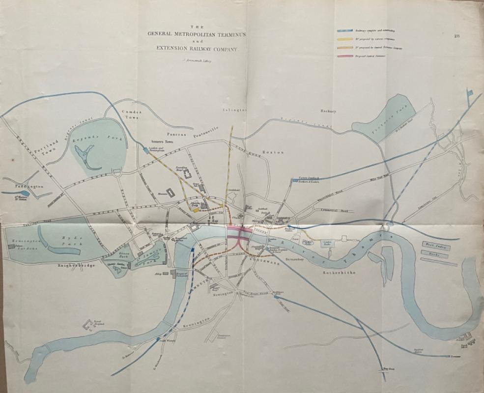
Map of London: a Plan for The General Metropolitan Terminus and Extension Railway lithographed by Arrowsmith and published by the House of Commons, London 1846. On paper size 61 by 51 cm. The plan was intended to illustrate how the railways that were converging on London in the 1840s might meet in one central location close to the Thames. Covers an area from Paddington and Regent’s Park across to Victoria Park in the north and from the Royal Hospital in Chelsea across to Deptford in the south. Some colour and with a colour-coded key. Has ben folded and cropped close to the left margin. Good condition.
Author
Arrowsmith
Date
1846
Publisher
House of Commons
Condition
Good to VG
Other books
If you liked the book you've just seen, you might be interested in other books from the same dealer below.
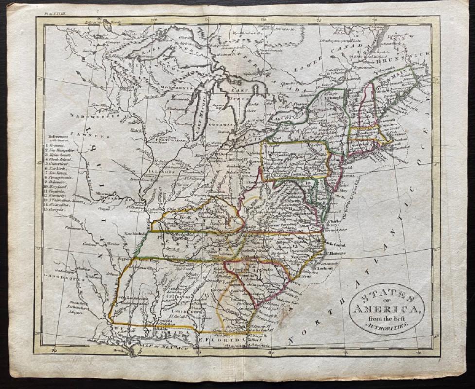
Map of the British Colonies in North America
Russell
Rivington, Wilkie and others
£100.00
Offered by Arthur Hook
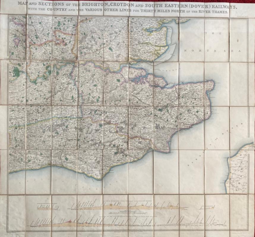
Map and Sections of the Brighton, Croydon and Sout...
Jobbins
Jobbins
£275.00
Offered by Arthur Hook
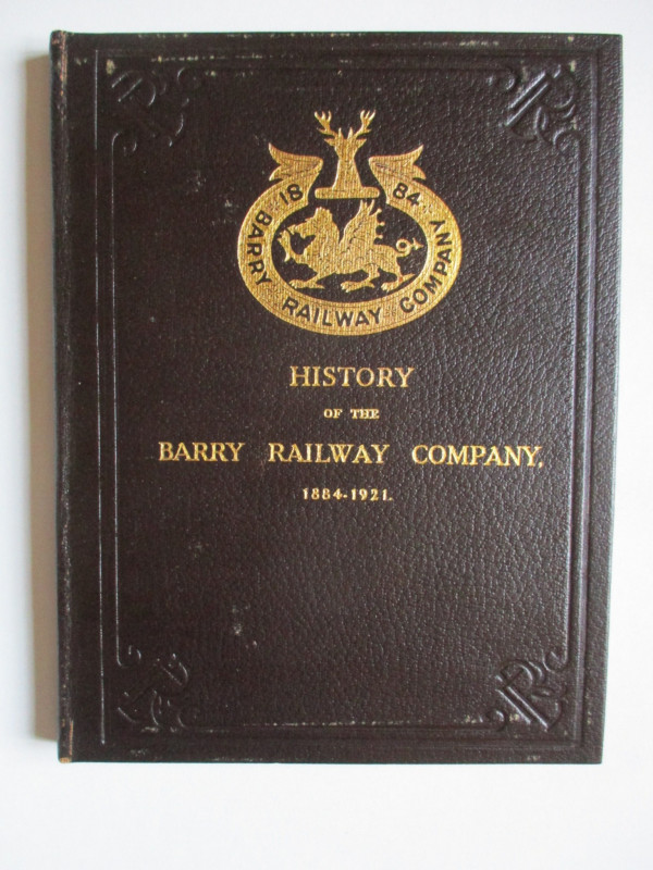
History of the Barry Railway Company 1884-1921
Rimmell
Barry Railway Company
£165.00
Offered by Arthur Hook

A set of four road maps of France for motorists pu...
De Dion Bouton Puteaux
De Dion Bouton Puteaux
£75.00
Offered by Arthur Hook
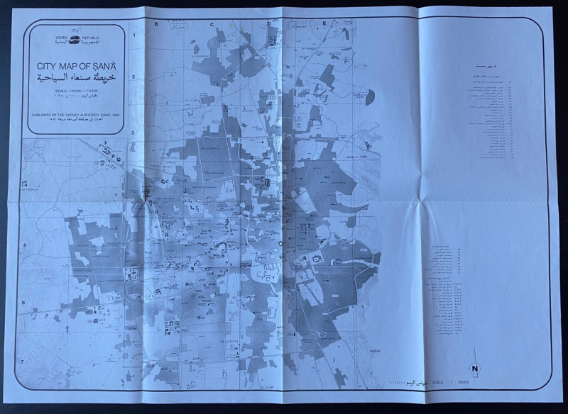
Republic of Yemen City Map of Sana
Survey Authority Sana
Survey Authority Sana
£110.00
Offered by Arthur Hook
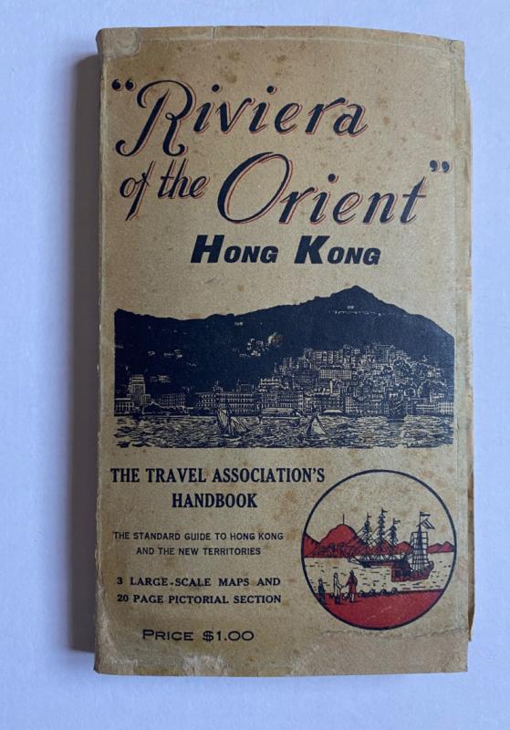
Hong Kong Riviera of the Orient
Hong Kong Travel Association
Hong Kong Travel Association
£775.00
Offered by Arthur Hook
Friends of the PBFA
For £10 get free entry to our fairs, updates from the PBFA and more.
Please email info@pbfa.org for more information