Hong Kong Riviera of the Orient


Book Description
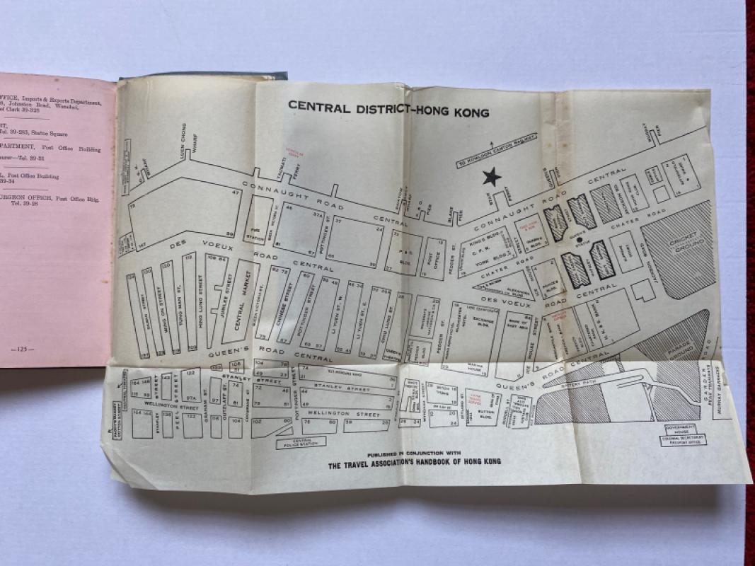
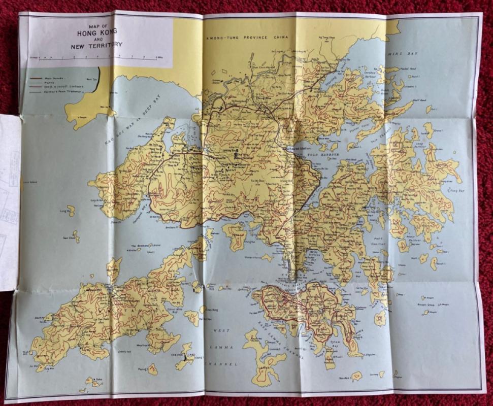
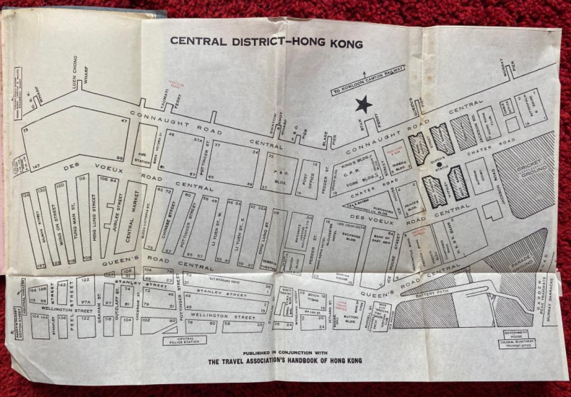
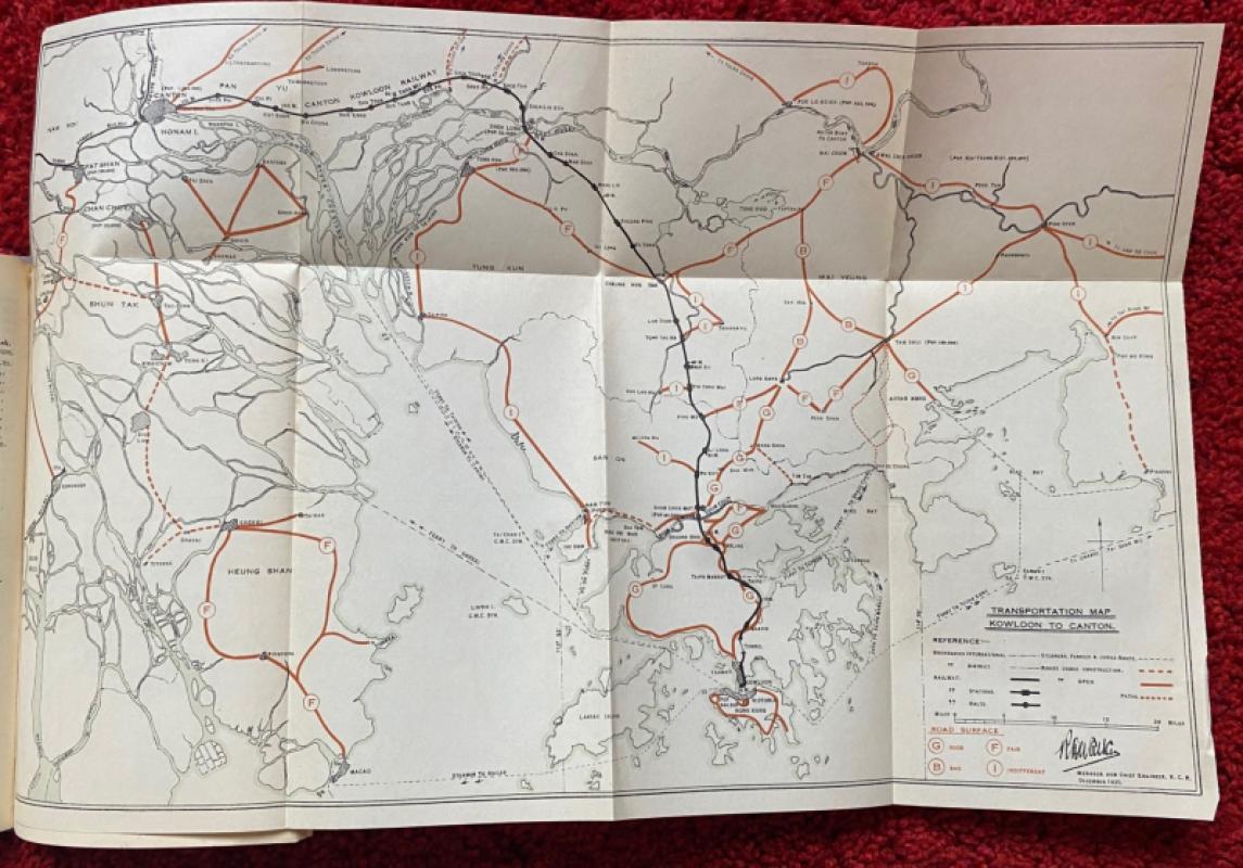
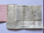
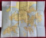
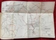
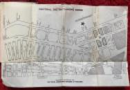
Riviera of the Orient Hong Kong published by the Hong Kong Travel Association, Hong Kong 1936. In stiff card covers size 18.5 by 11 cm. 125 pages plus a 20-page section of black and white photographs that serves as an introduction. Complete with three large folding maps: a coloured map of Hong Kong and the New Territories; a street plan of Central District and a Kowloon Canton Railway Transportation map. The first section of the guide focuses on facts and figures, on trade, communications, population and the geography of the area. Other sections provide useful information for the visitor on subjects such as customs, clothing, currency, restaurants, Chinese food and suggested itineraries. The guide also includes details of clubs, hotels and recreations on offer. The last sections have information on place names and on nearby destinations such as Macao and Canton. It concludes with an abridged commercial and professional directory. A fascinating rare survivor of a bygone age. The yapp or curved edges of the covers have been sympathetically restored. Some foxing to the back cover. Guide and maps are all in Good to VG condition.
Author
Hong Kong Travel Association
Date
1936
Binding
Card
Publisher
Hong Kong Travel Association
Condition
Good to VG
Pages
145
Other books
If you liked the book you've just seen, you might be interested in other books from the same dealer below.
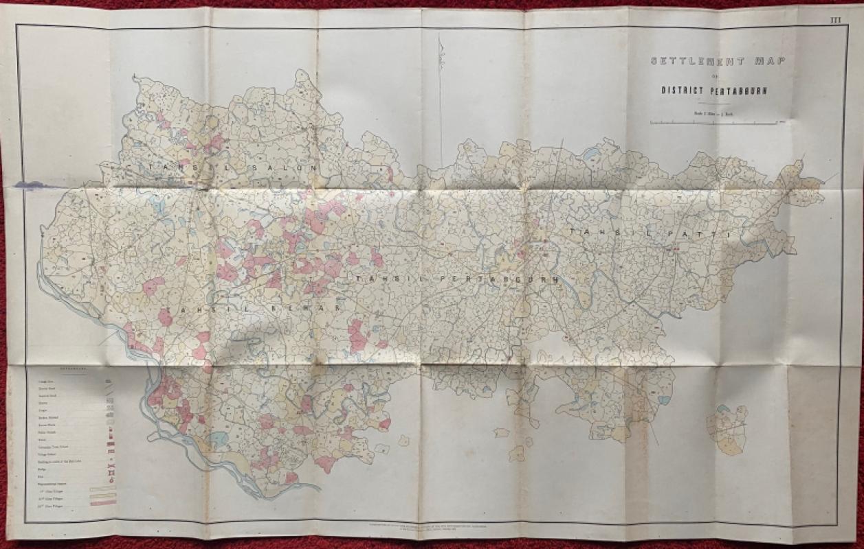
Settlement Map of District Pertabgurh (Pratapgarh...
Survey of India
Survey of India
£100.00
Offered by Arthur Hook
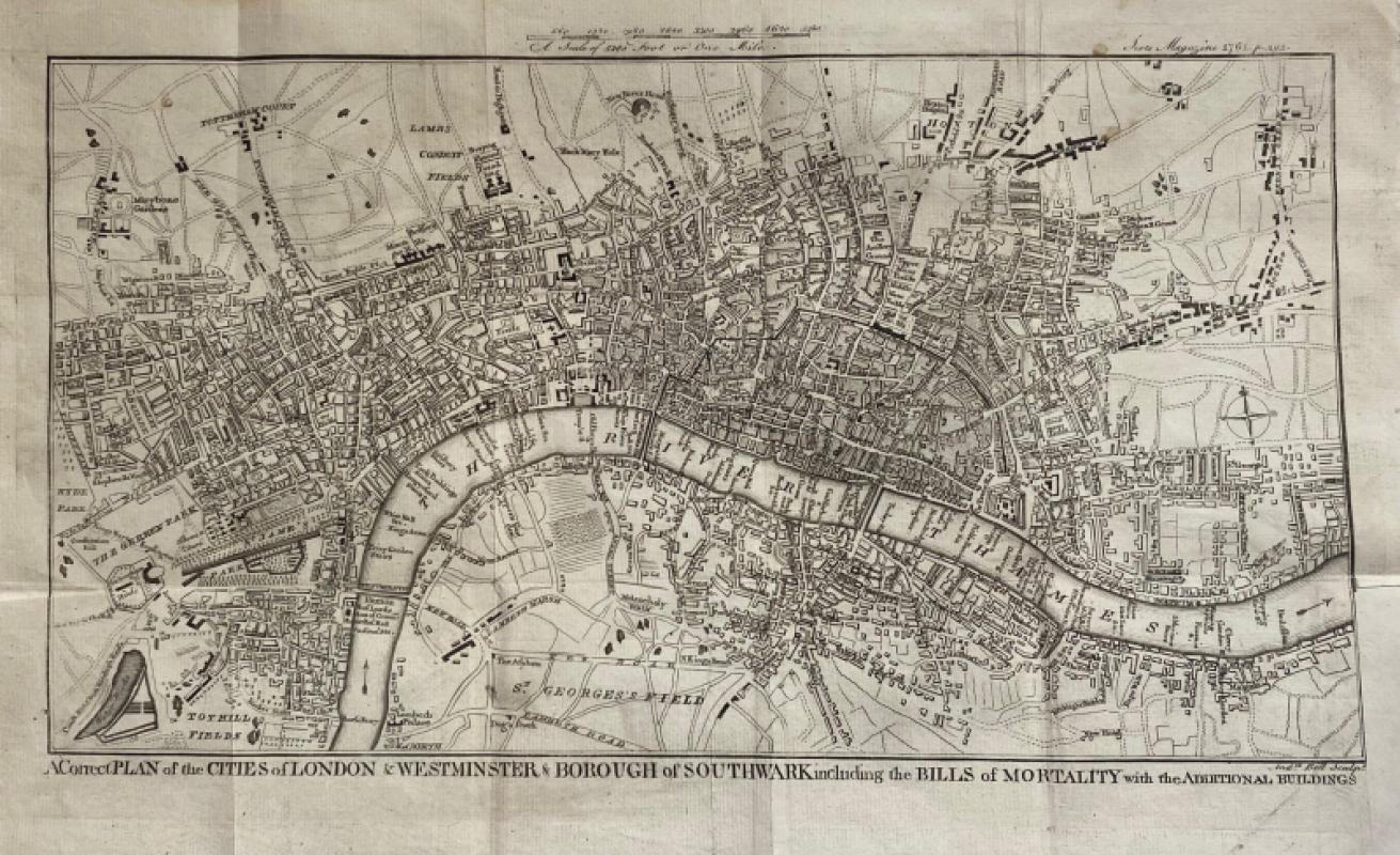
A Correct Plan of the Cities of London and Westmin...
Rocque
The Scots Magazine
Reserved
Offered by Arthur Hook
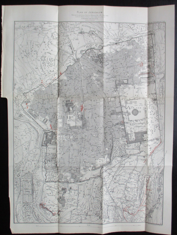
Plan of Jerusalem to illustrate Recent Discoveries...
Wilson
Palestine Exploration Fund
£95.00
Offered by Arthur Hook
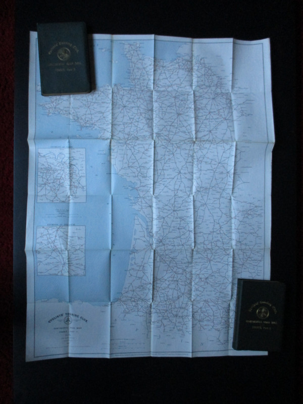
CTC Cycling Handbooks & Maps of France 1900
Anon
CTC & Andriveau Goujon
£50.00
Offered by Arthur Hook
Friends of the PBFA
For £10 get free entry to our fairs, updates from the PBFA and more.
Please email info@pbfa.org for more information