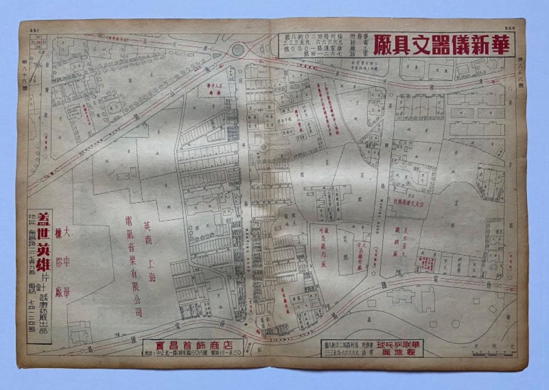
Map of Shanghai showing part of what was previously the French Concession circa 1948
Book Description
Map of Shanghai showing part of what was previously the French Concession circa 1948. On paper size 38 by 26 cm. Scale 40 metres to the inch. Some colour. A detailed street map from a trade or business directory that covers an area of the city between Hengshan Road and Zikawei Road, with Wanping and Wuhing Roads running from top to bottom. The map has advertising to the borders and to the reverse with the date 1949 in one, which might indicate the directory was published the previous year: the street names and Chinese characters are still traditional. Includes the Carl Foss residence on the Hengshan Road. Some streets are named in English. Most buildings and other features are shown and are named in Chinese characters. Presumably the map hadn’t been updated for about ten or more years. Has had one central fold. Good condition.
Author
Anon
Date
1948
Publisher
Anon
Condition
Good
Other books
If you liked the book you've just seen, you might be interested in other books from the same dealer below.
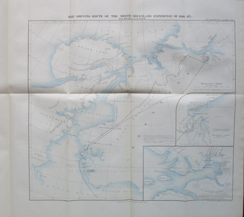
Map Shewing Route of the North Greenland Expeditio...
Peary
Royal Geographical Society
£55.00
Offered by Arthur Hook
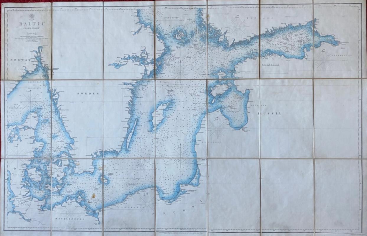
Map of the Baltic 1854
Anon
Hydrographic Office of the British Admiralty
£100.00
Offered by Arthur Hook
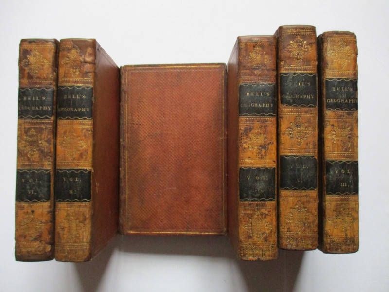
A System of Geography , Popular and Scientific or...
Bell
Fullarton, Tait, Curry, Simpkin, Marshall & Orr
£395.00
Offered by Arthur Hook
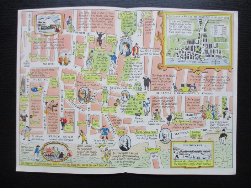
A Map of Brighton “The Queen of Watering Places” f...
Sayer
Strand Magazine
£40.00
Offered by Arthur Hook
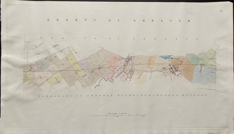
Map of the Parish of Cheadle with Townships of Che...
Rennie
Arrowsmith
£35.00
Offered by Arthur Hook
Friends of the PBFA
For £10 get free entry to our fairs, updates from the PBFA and more.
Please email info@pbfa.org for more information