Map of the British Colonies in North America
Book Description
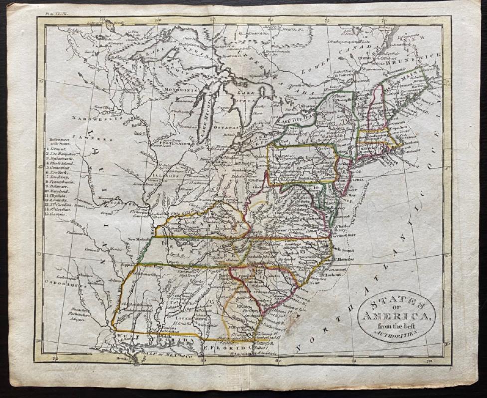
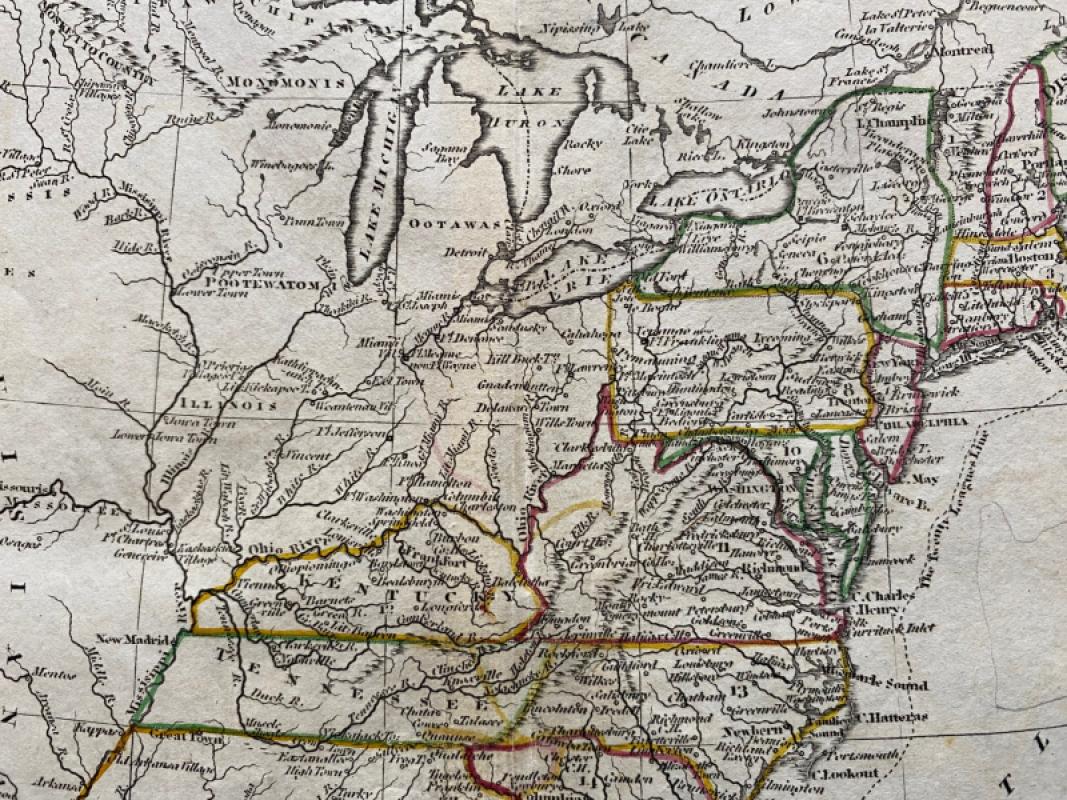
Map of the British Colonies in North America from the best Authorities Engraved by John Russell and published by Rivington, Wilkie and others, London 1818 for an Atlas to Guthrie’s Geographical Grammar. On paper size 25 by 21 cm. Some colouring to the coasts and rivers, probably contemporary. Includes the USA south to the Delaware River and the Bay of Monterey. Several areas have names which have long since disappeared: New Cornwall, New Hanover and New Georgia appear on the Pacific coast; South Wales and New South Wales are adjacent to Hudson’s Bay. The sea as seen by McKenzie in 1789 appears by the 70th parallel and tralls to the Rockies and beyond are maked in outline.The map has a piano key style border with latitude and longitude along each edge. Has been folded. Good to VG condition
Author
Russell
Date
1818
Publisher
Rivington, Wilkie and others
Illustrator
Russell
Condition
Good to VG
Other books
If you liked the book you've just seen, you might be interested in other books from the same dealer below.
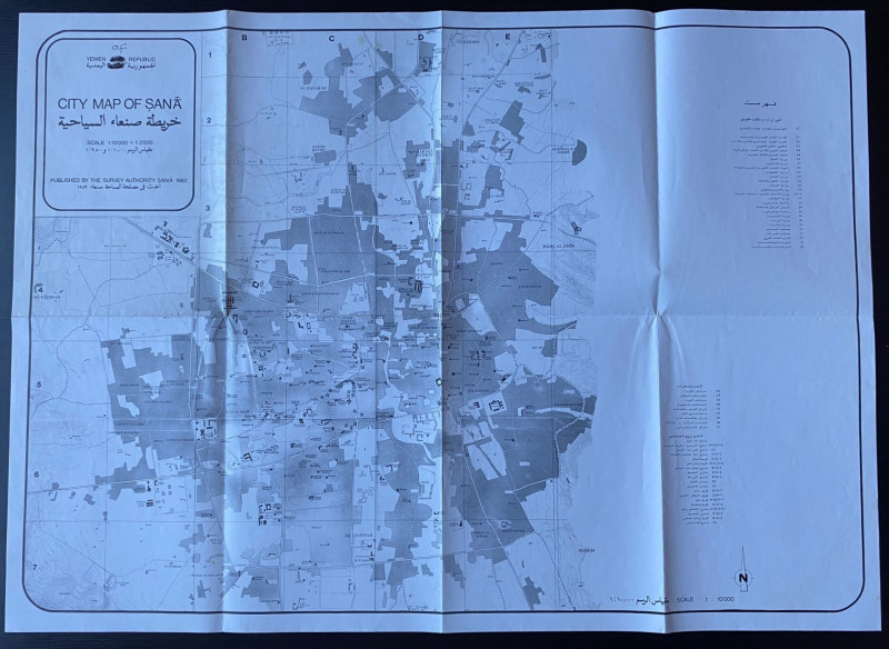
Republic of Yemen City Map of Sana
Survey Authority Sana
Survey Authority Sana
£110.00
Offered by Arthur Hook
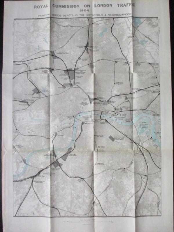
Three Maps showing the position of the Principal G...
Royal Commission on London Traffic
Hansard
£150.00
Offered by Arthur Hook
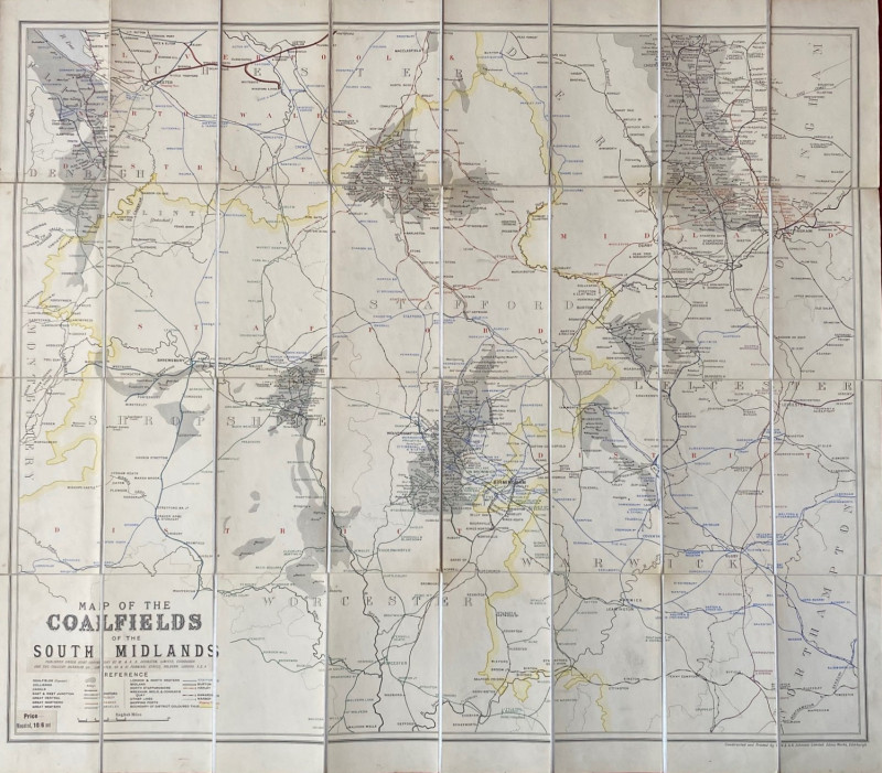
Map of the Coalfields of the South Midlands circa...
Johnston
Johnston
£100.00
Offered by Arthur Hook
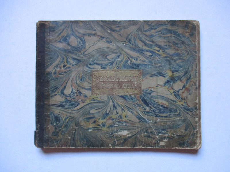
Bradshaw’s General Atlas with the latest Discoveri...
Bradshaw
Bradshaw
£325.00
Offered by Arthur Hook
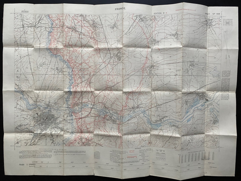
Trench Map of the Arras area France 1917
Ordnance Survey for British General Staff
Ordnance Survey for British General Staff
£165.00
Offered by Arthur Hook
Friends of the PBFA
For £10 get free entry to our fairs, updates from the PBFA and more.
Please email info@pbfa.org for more information