Map of Southwark by J P Sayer

Book Description
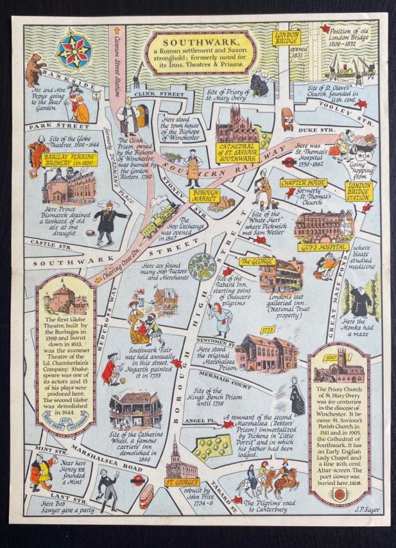
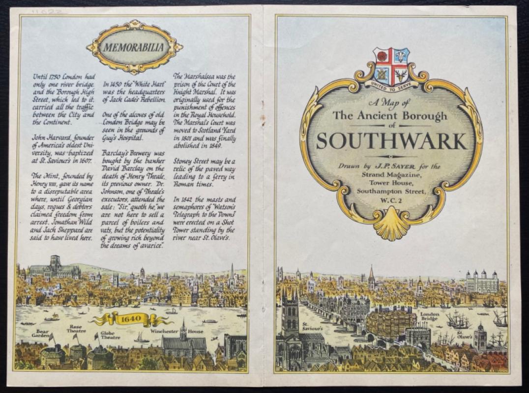
Map of Southwark by J P Sayer. Published by the Strand Magazine, London 1947. On paper size 26 by 20 cm. The map covers an area from the Thames and the Cannon Street and London Bridges south to Marshalsea Road, Tabard Street and Lant Street. Includes inset columns of text on the Globe Theatre and the Priory Church of St. Mary Overy. To the reverse are the title inside a cartouche, some notes on the area entitled “Memorabilia” and a view of the Thames from the Bear Garden to St. Olaves that includes London Bridge. One central fold. VG condition.
Author
Sayer
Date
1947
Publisher
Strand Magazine
Illustrator
Sayer
Condition
VG
Other books
If you liked the book you've just seen, you might be interested in other books from the same dealer below.

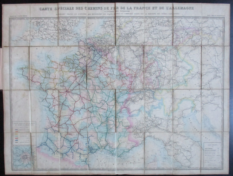
Carte Generale des Chemins de la France et de l’Al...
Vuillemin
Logerot
£70.00
Offered by Arthur Hook
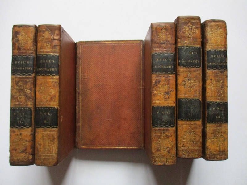
A System of Geography , Popular and Scientific or...
Bell
Fullarton, Tait, Curry, Simpkin, Marshall & Orr
£395.00
Offered by Arthur Hook
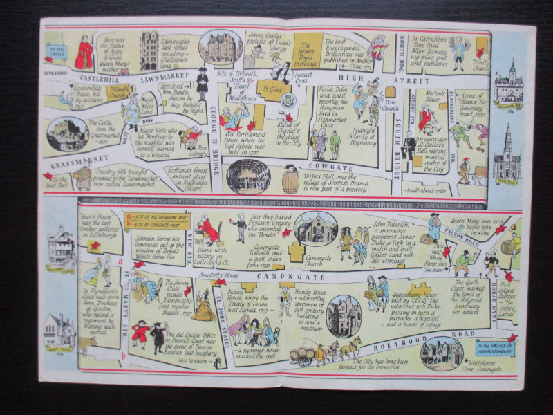
The Royal Mile, Edinburgh. A map displaying the wh...
Sayer
Strand Magazine
£40.00
Offered by Arthur Hook
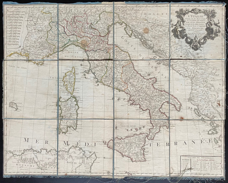
Map of Italy 1802. L'Italie Dresse sur les Observa...
Delisle
Dezauche
£105.00
Offered by Arthur Hook
Friends of the PBFA
For £10 get free entry to our fairs, updates from the PBFA and more.
Please email info@pbfa.org for more information