Ordnance Survey Map of Manchester & Neighbourhood with the Railways 1848

Book Description
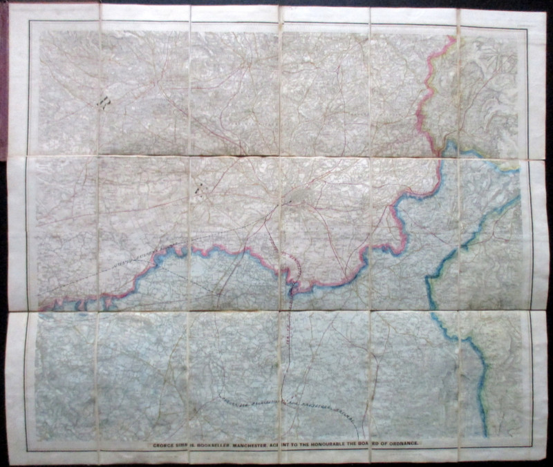
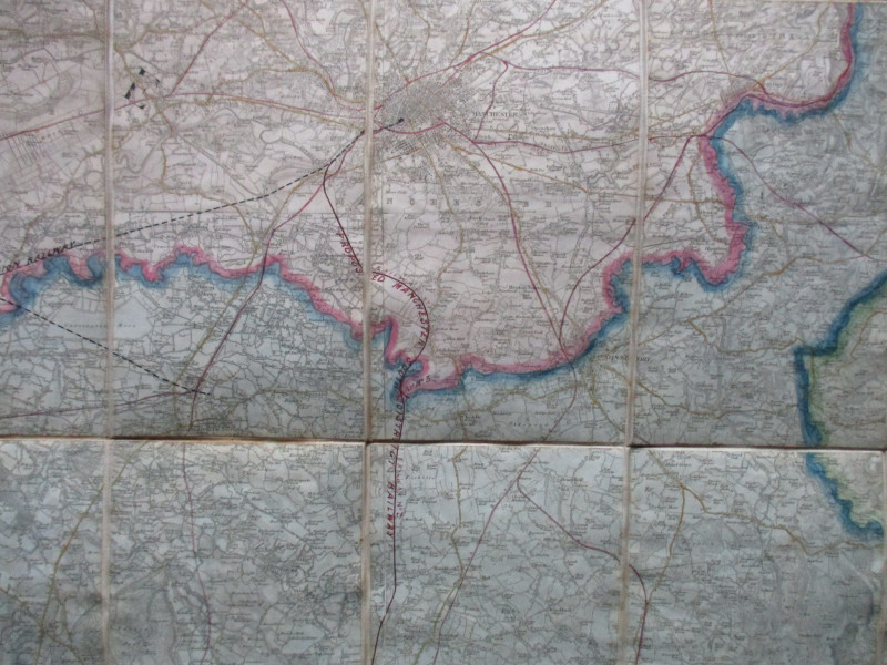
Ordnance Survey Map of Manchester and the Neighbourhood with the Railways, originally published by Ordnance Survey under the direction of Colby at the Tower of London 1848 and updated and amended by George Simms of Manchester. On folding linen in 21 sections, size 79 by 67 cm. Scale one inch to the mile. Sheet LXXXI-SW. Covers an area from Horwich across to Clowes Moss and the tunnel through the Pennines in the north and from Little Leigh to Combs Moss and the Peak Railway in the south. Folds into original stiff boards with Simms label to the front. The map includes the existing railways and also shows several lines in the course of construction such as the Manchester South District, and the Liverpool Extension- plus and the Macclesfield and Knutsford railway (which seems to have remained on the drawing board). Spine and edges of the boards slightly rubbed but map VG condition
Author
Simms
Date
1848
Binding
Stiff boards
Publisher
Ordnance Survey
Condition
VG
Other books
If you liked the book you've just seen, you might be interested in other books from the same dealer below.
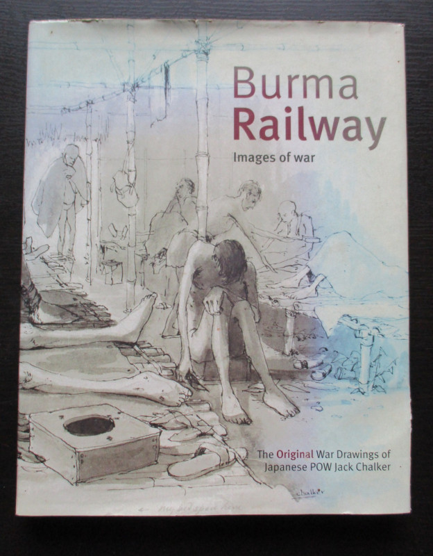
Burma Railway Images of War. The original war draw...
Chalker
Mercer Books
£45.00
Offered by Arthur Hook
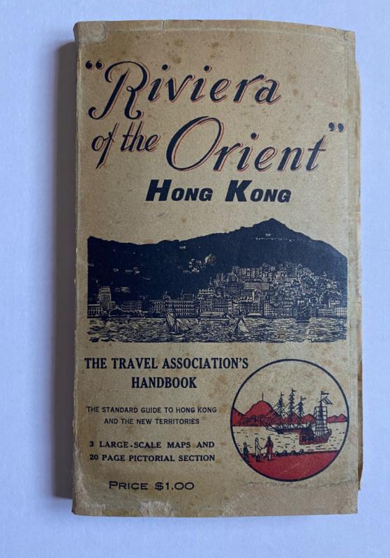
Hong Kong Riviera of the Orient
Hong Kong Travel Association
Hong Kong Travel Association
£775.00
Offered by Arthur Hook
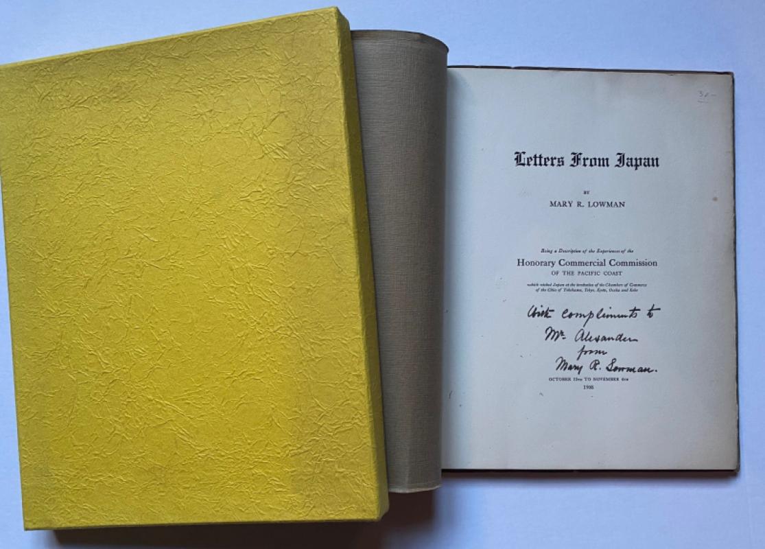
Letters from Japan Being a Description of the Expe...
Lowman
Lowman and Hanford
£175.00
Offered by Arthur Hook
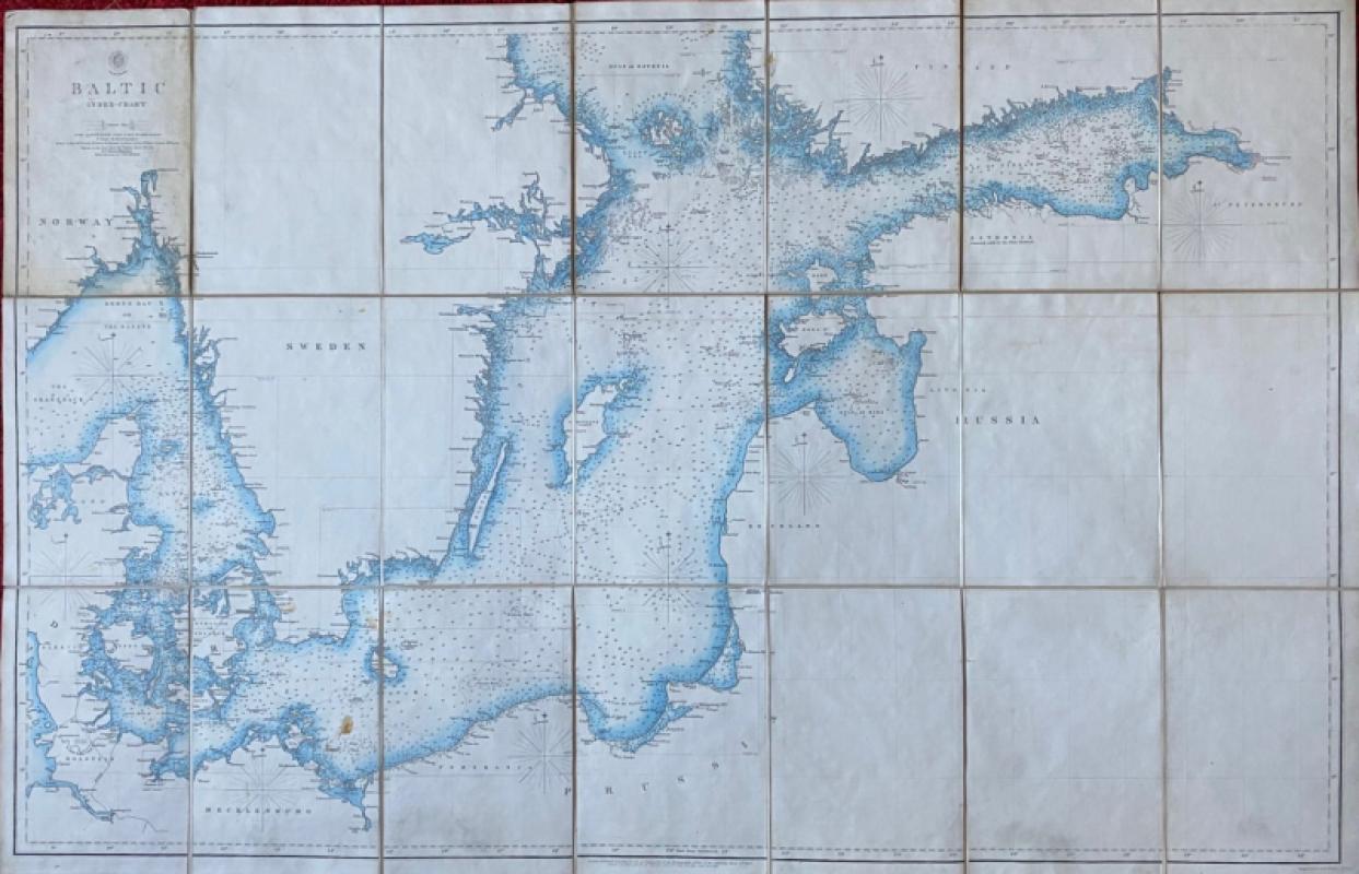
Map of the Baltic 1854
Anon
Hydrographic Office of the British Admiralty
£100.00
Offered by Arthur Hook
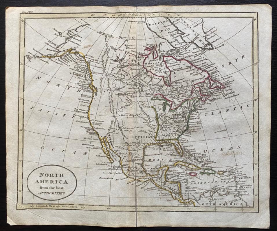
Map of North America from the Best Authorities
Russell
Rivington, Wilkie and others
£100.00
Offered by Arthur Hook
Friends of the PBFA
For £10 get free entry to our fairs, updates from the PBFA and more.
Please email info@pbfa.org for more information