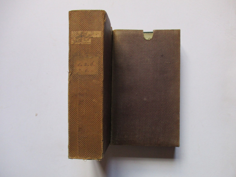
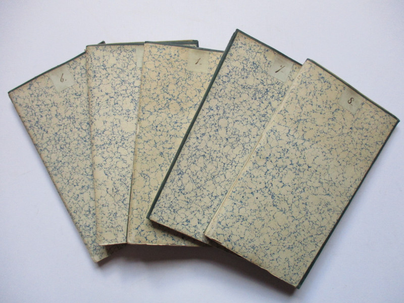
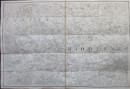
Set of 9 OS Maps of South-East England circa 1845

Book Description
Box 1: OS 1st edition sheets I, II, VI. VII and VIII.
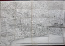
Ordnance Survey sheet I (Essex) published at the Tower of London by the Ordnance Survey under the direction of Colby and engraved by Baker etc. On folding linen on a scale of one inch to the mile. Includes the early railways; this was published around 1845. Folds into marbled covers.
Ordnance Survey sheet II (Essex coast), published by the Ordnance Survey at the Tower of London 1840 under the direction of Colby. Engraved by Baker etc. On folding linen on a scale of one inch to the mile. Includes the early railways; this was published around 1845. Folds into marbled covers. Some minor worming to an area of the sea.
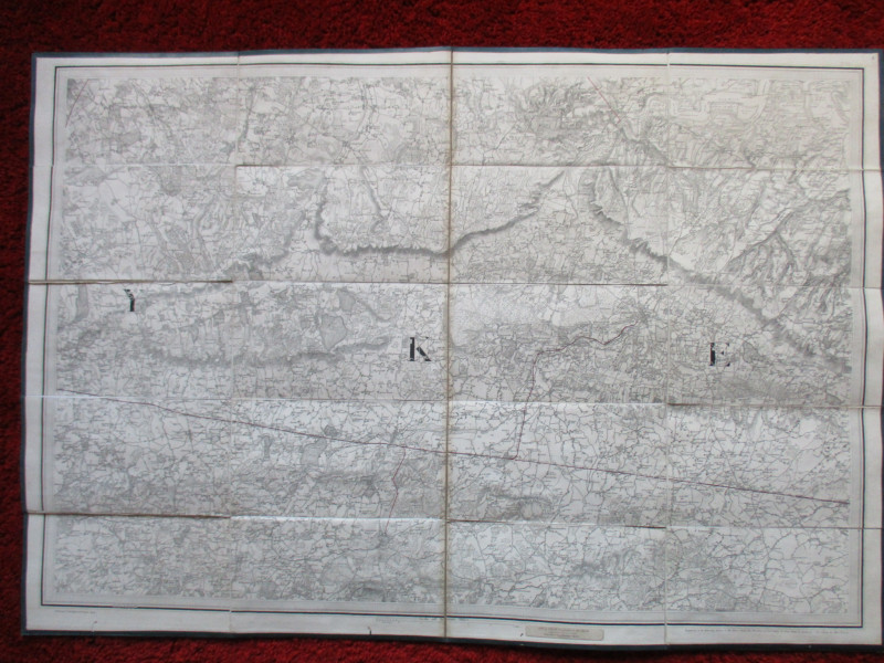
Ordnance Survey sheet VI (Maidstone and west Kent), published by the Ordnance Survey at the Tower of London under the direction of Mudge 1819. Engraved by Baker etc. On folding linen. Scale one inch to the mile. With the early railways; this was presumably published around 1845. Folds into marbled covers. Some worming to the bottom of the sheet outside the border of the map.
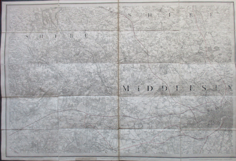
Ordnance Survey sheet VII (Middlesex), published by the Ordnance Survey at the Tower of London under the direction of Colby in August 1822. Engraved by Baker etc. On folding linen. Scale one inch to the mile. With the early railways; this was published around 1845. Folds into marbled covers.
Ordnance Survey sheet VIII (Surrey/Dorking), published by the Ordnance Survey at the Tower of London under the direction of Mudge 1816. Engraved by Baker etc. On folding linen on a scale of one inch to the mile. Includes the early railways, so this was actually published around 1845. Folds into marbled covers.
Box 2: OS 1st edition sheets III, IV, V and IX.
Ordnance Survey sheet III (Kent: Canterbury and east Kent), published by the Ordnance Survey at the Tower of London under the direction of Colby 1819. Engraved by Baker etc folding linen on a scale of one inch to the mile. Includes the early railways; this was actually revised and published around 1845. Folds into marbled covers.
Ordnance Survey sheet IV (Kent: Dungeness area), published by the Ordnance Survey at the Tower of London under the direction of Mudge 1816. Engraved by Baker etc. On folding linen on a scale of one inch to the mile. Includes the early railways; this was actually published around 1845. Folds into marbled covers.
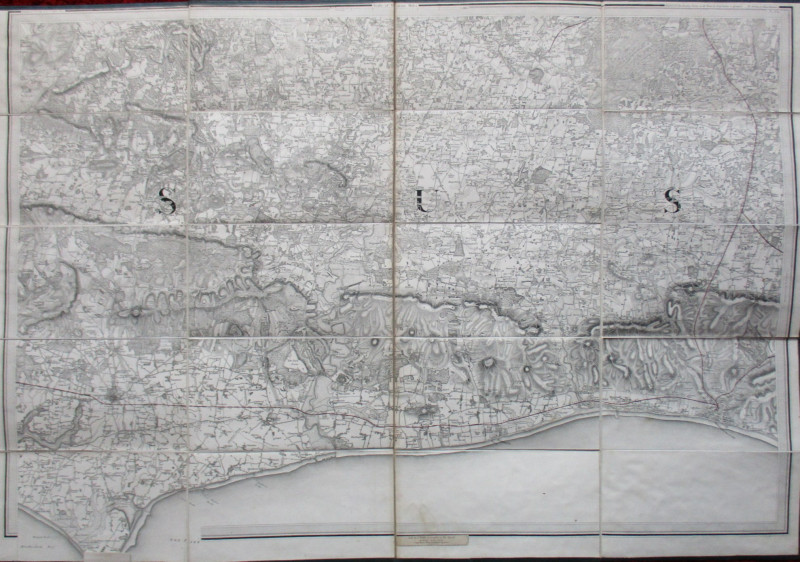
Ordnance Survey sheet V (Sussex: Lewes to Winchelsea), published by the Ordnance Survey at the Tower of London under the direction of Mudge 1813. Engraved by Baker and others. On folding linen on a scale of one inch to the mile. Includes the early railways; this was actually published around 1845. Folds into marbled covers.
Author
Ordnance Survey
Date
1845
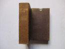
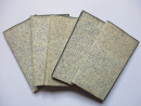
Binding
Maps on linen with slipcases
Publisher
Ordnance Survey
Condition
Good to VG
Pages
Nine maps
Other books
If you liked the book you've just seen, you might be interested in other books from the same dealer below.
General Map of London Shewing the Proposed Lines o...
Pennethorne
Hansard
£225.00
Offered by Arthur Hook
Plan of the Lordship of Caythorpe in the East Ridi...
Madeley
Madeley
Reserved
Offered by Arthur Hook
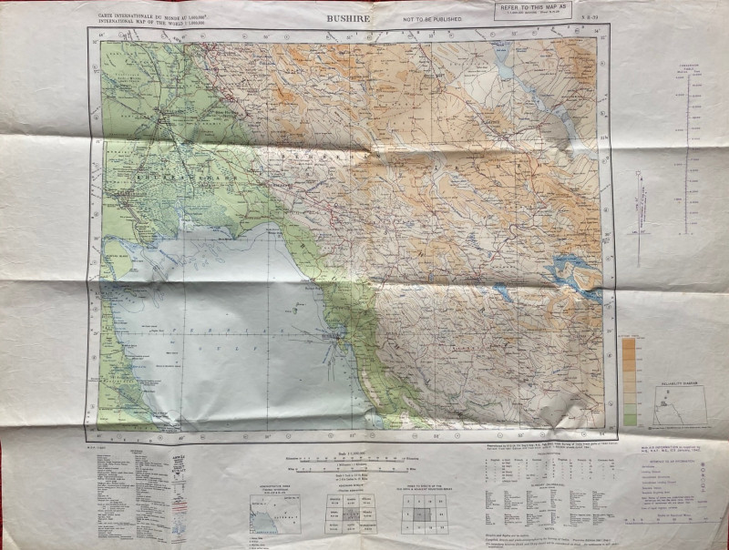
Map of Bushire (Persian Gulf) 1942
British War Office
British War Office
£75.00
Offered by Arthur Hook
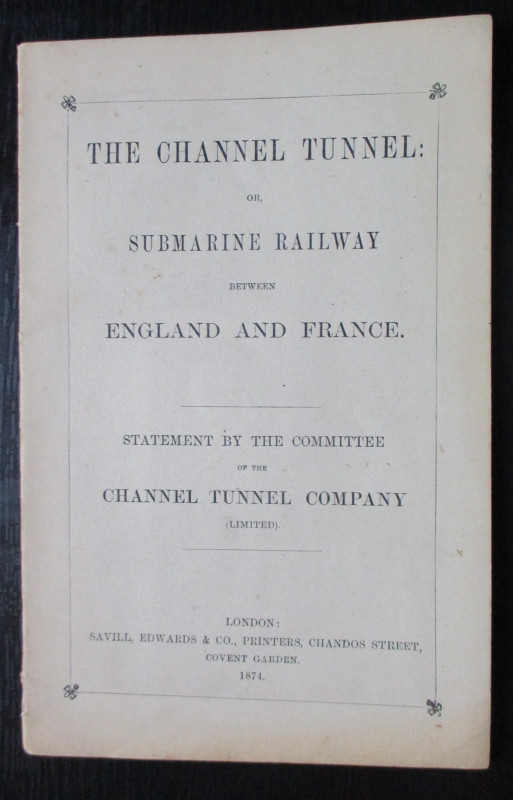
The Channel Tunnel or Submarine Railway between En...
Anon
Channel Tunnel Company
£85.00
Offered by Arthur Hook
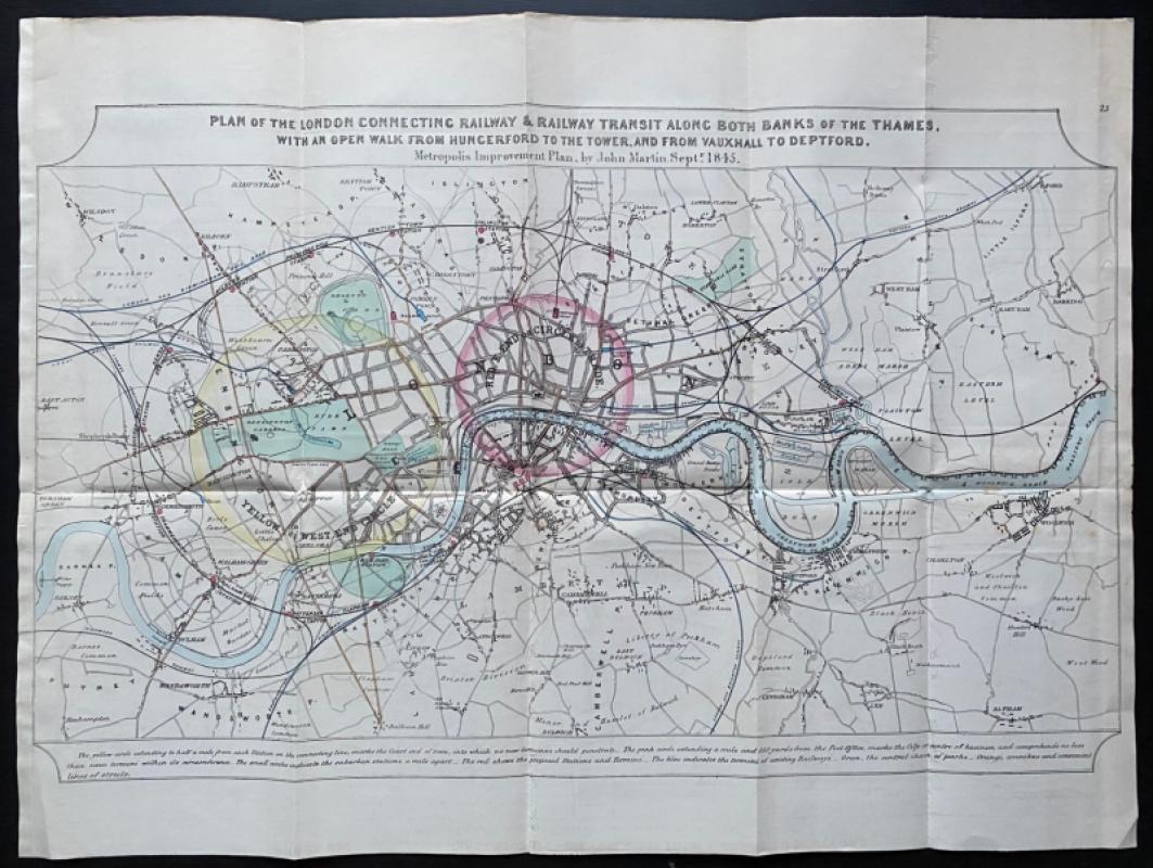
John Martin's Plan for the London Connecting Railw...
John Martin
Hansard
£650.00
Offered by Arthur Hook

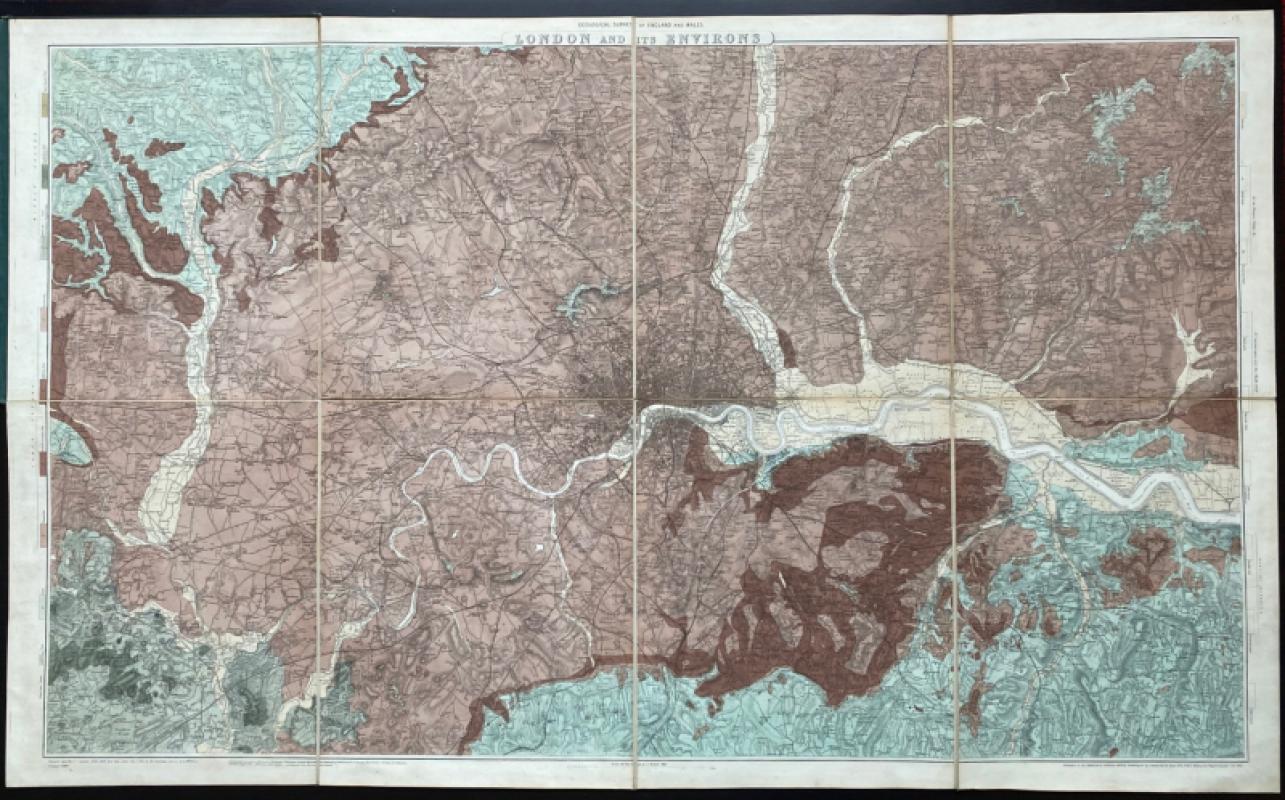
Geological Survey of England and Wales: two maps o...
James
Ordnance Survey
£675.00
Offered by Arthur Hook
Friends of the PBFA
For £10 get free entry to our fairs, updates from the PBFA and more.
Please email info@pbfa.org for more information