Map of Historic Canterbury
Book Description
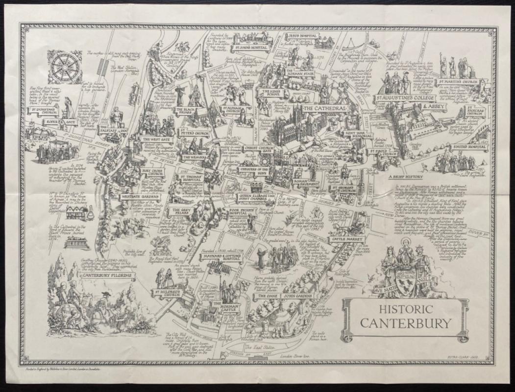
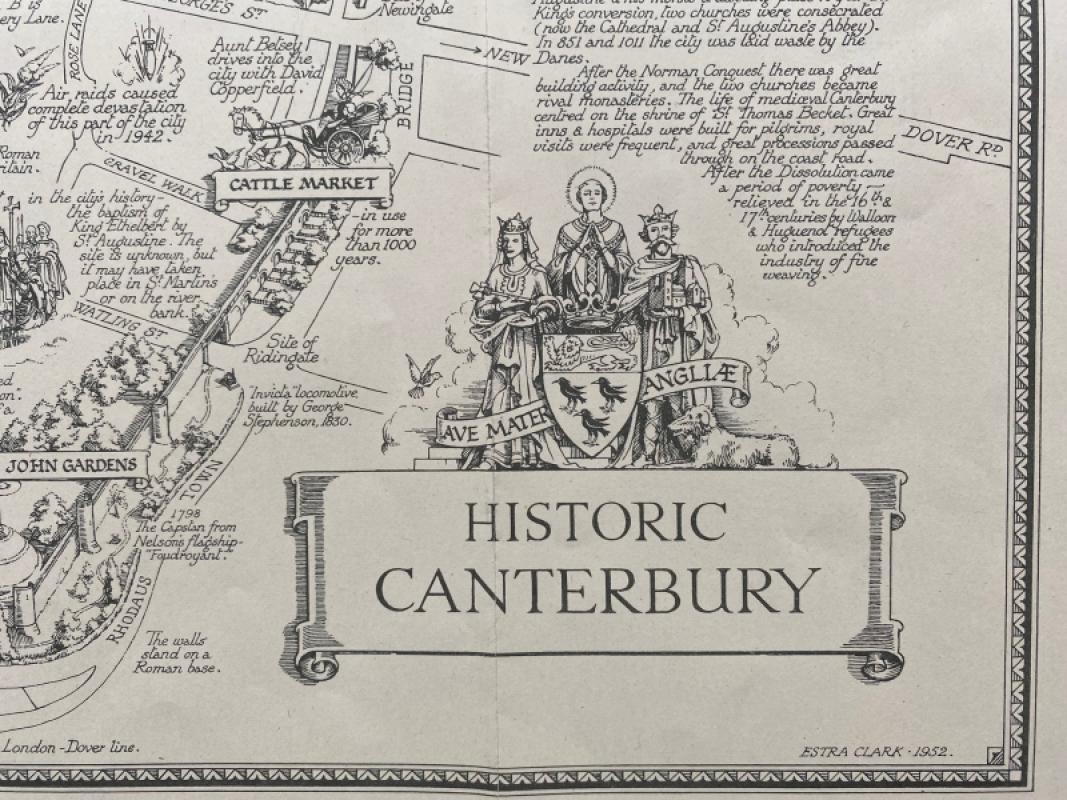
Historic Canterbury. A map drawn by Estra Clark, printed and published by Waterlow, London 1952. On paper size 50 by 37 cm. The map shows the city as it might appear from above in a third dimension so that the streets and buildings are seen in relief. There are notes on their origins and importance in history beside each feature. Includes a decorative cartouche with the title, a compass rose and a vignette of Chaucer’s Canterbury pilgrims. The map covers an area from the west station across to St. Martin’s church in the north and from the churches of St. Johns and Jesus in the north to the main station on the London to Dover line in the south. Estra Clark was a Yorkshire-born teacher and artist who specialised in creating maps that were amusing and informative, capturing the optimism of the post war period. Uncoloured with a decorative border. Good to VG condition.
Author
Clark
Date
1952
Publisher
Waterlow
Illustrator
Clark
Other books
If you liked the book you've just seen, you might be interested in other books from the same dealer below.

US Army Air Forces Map of China
Aeronautical Chart Service USAAF
Aeronautical Chart Service USAAF
£75.00
Offered by Arthur Hook
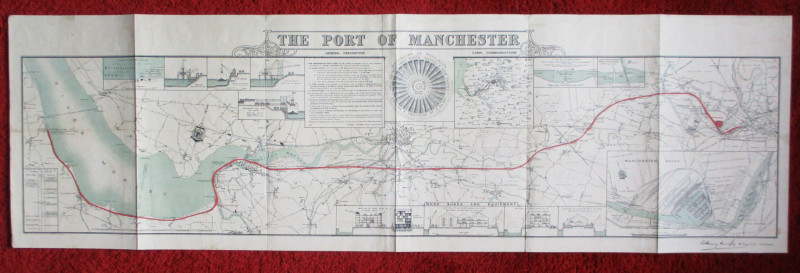
Map of the Port of Manchester & Ship Canal 1902
Falkner
Manchester Ship Canal
£125.00
Offered by Arthur Hook
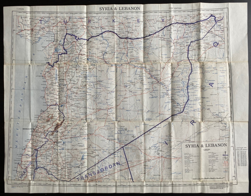
OS War Office Map of Syria and Lebanon 1942
British War Office
British War Office
£30.00
Offered by Arthur Hook
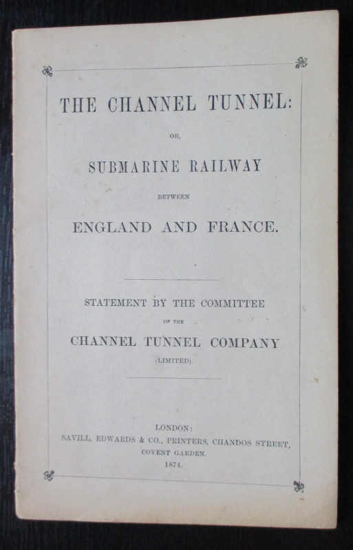
The Channel Tunnel or Submarine Railway between En...
Anon
Channel Tunnel Company
£85.00
Offered by Arthur Hook
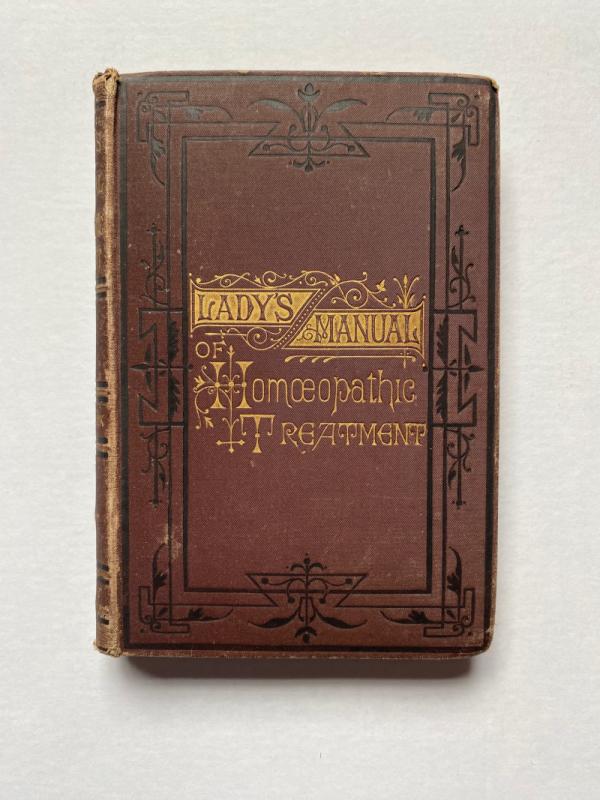
The Lady’s Manual of Homeopathic Treatment in the...
Ruddock
Homeopathic Publishing Company
£35.00
Offered by Arthur Hook
Friends of the PBFA
For £10 get free entry to our fairs, updates from the PBFA and more.
Please email info@pbfa.org for more information