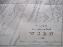
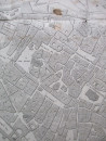
Plan of central Vienna 1826
Book Description
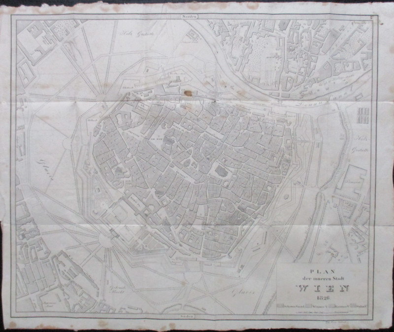
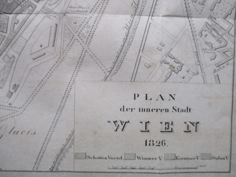
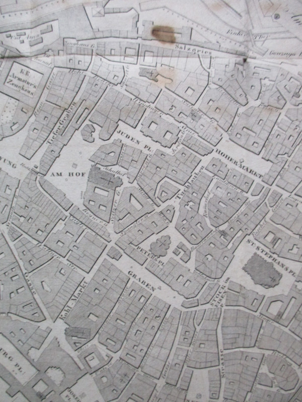
Plan of central Vienna 1826. Engraved by Orlitsek. On paper size 48 by 40 cm. Scale 80 klaften to the inch. No mapmaker identified but published in 1826 by Harterschen in Wien’s Geschichte or History of Vienna, Vienna. Uncoloured. From the street plan and features this would appear to be a contemporary map. Many streets and features inside the walled city are named. Outside the walls to the north east the theatre by the Jagerzeile, the Carmeliter Platz and surrounding streets beyond the Donau Canal are shown; in the north-west the Wahringer Gasse and neighbourhood; in the south west the Engineering Academy and in the south east beyond the Glacis and the River Wien more streets and buildings are shown, including a couple of magazines. An uncoloured key provides information on Schotten, Wimmer, Kartnuer and Stuben Viertel. One foxing or rust spot and occasional foxing to the edges but overall Good condition. Has been folded.
Author
Orlitsek
Date
1826
Publisher
Harterschen
Illustrator
Orlitsek
Condition
Good
Other books
If you liked the book you've just seen, you might be interested in other books from the same dealer below.
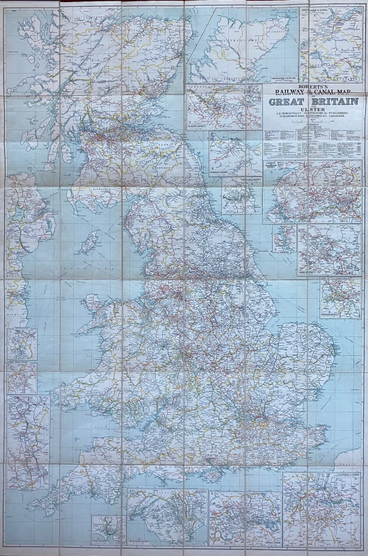
Roberts Railway and Canal Map of Great Britain and...
Roberts
Roberts
£100.00
Offered by Arthur Hook
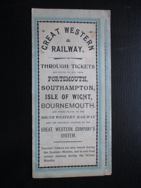
The Great Western Railway of England. Train servic...
GWR
Great Western Railway
£45.00
Offered by Arthur Hook
La République Française en LXXXVIII départemens: d...
Une Societé de Geographes
Une Societé de Geographes
£450.00
Offered by Arthur Hook
Friends of the PBFA
For £10 get free entry to our fairs, updates from the PBFA and more.
Please email info@pbfa.org for more information