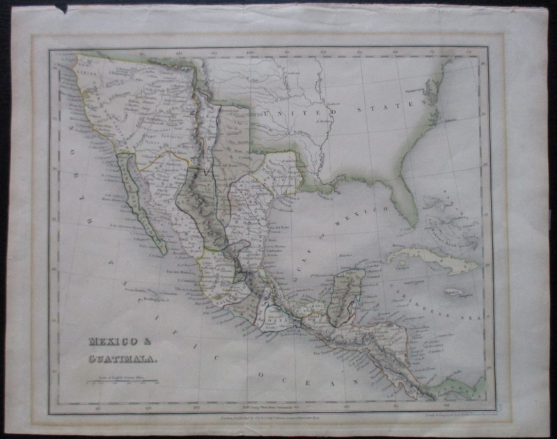
Map of Mexico and Guatimala 1835 with Texas & California
Book Description
Map of Mexico and Guatimala drawn and engraved by John Dower, published by Orr, London circa 1835. On paper size 27.5 by 22 cm. scale 300 miles to the inch. Some hand colouring. A detailed map that shows US states and Mexico before the emergence of Texas and California, with north California identified as New Albion. The US-Mexico border follows the River Arkansas and the Red River. In addition to place names and other geographical information the map includes the names of the various native American peoples printed by their territories. There is a small closed tear outside the margins of the map but otherwise the map is in Good condition
Author
Dower
Date
1835
Publisher
Orr
Condition
Good
Other books
If you liked the book you've just seen, you might be interested in other books from the same dealer below.
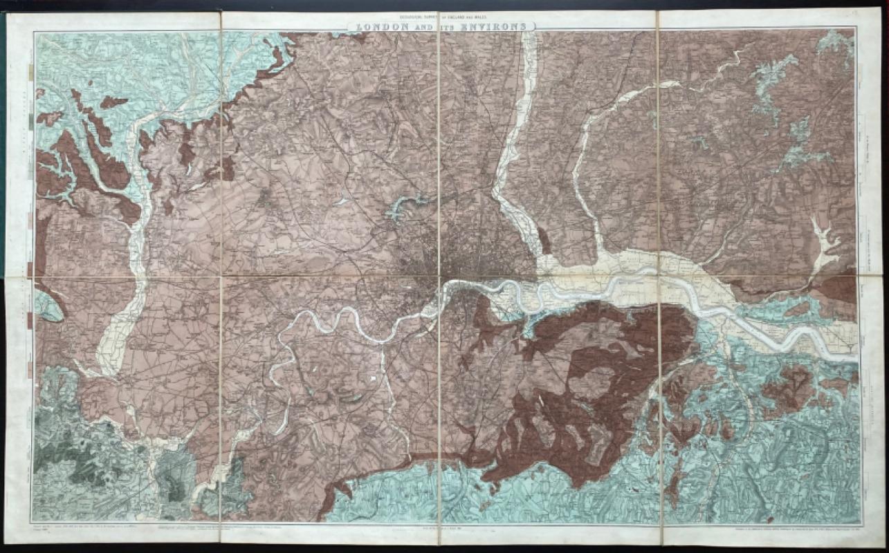
Geological Survey of England and Wales: two maps o...
James
Ordnance Survey
£675.00
Offered by Arthur Hook
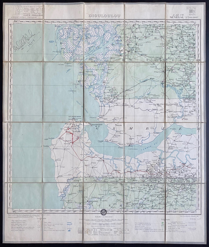
Map of Dioloulou Senegal 1924
Barrere
Service Geographique de l‘Afrique Francaise and Andriveau Goujon
£85.00
Offered by Arthur Hook
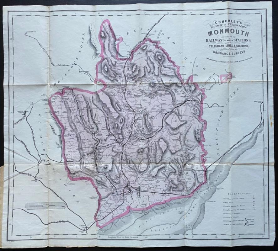
Cruchley’s Railway and Telegraphic County Map of M...
Cruchley
Cruchley
£40.00
Offered by Arthur Hook
Friends of the PBFA
For £10 get free entry to our fairs, updates from the PBFA and more.
Please email info@pbfa.org for more information