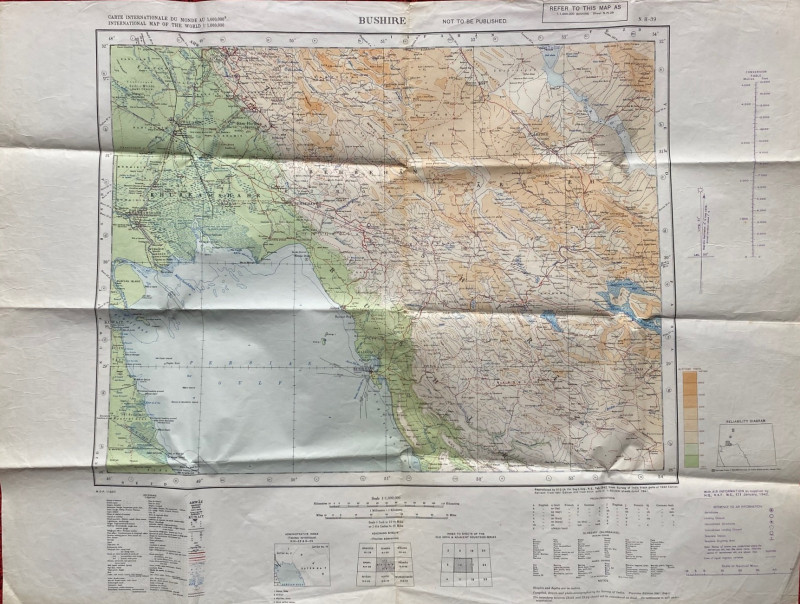
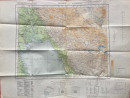
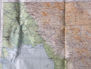
Map of Bushire (Persian Gulf) 1942

Book Description
Map of Bushire (Persian Gulf). Published by the British War Office 1942, with information supplied by HQ RAF Middle East, January 1942. On paper size 84 by 63 cm. Scale 1:1,000,000. Coded M DR 1/880. Colour. With a key to military features including aerodromes, landing grounds, unconfirmed aerodromes and landing grounds, seaplane stations and seaplane sighting areas. Another key provides information on over 20 features such as roads, railways, oil wells and pipelines. There is a glossary or terms used in the map in both Arabic and Iranian. Marked “Not to be Published”.Includes Kuwait, Shiraz and parts of Iraq and Iran. Good to VG condition. Has been folded.
Author
British War Office
Date
1942
Publisher
British War Office
Condition
Good to VG
Other books
If you liked the book you've just seen, you might be interested in other books from the same dealer below.
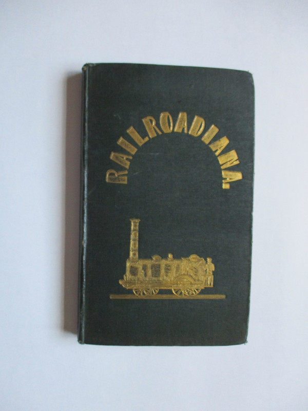
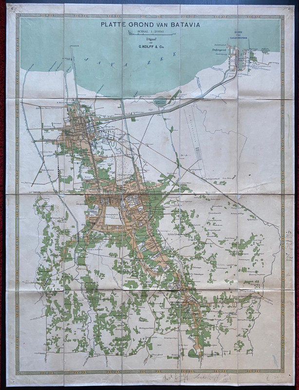
Railroadiana : A New History of England or picture...
Anon
Simpkin Marshall
£250.00
Offered by Arthur Hook
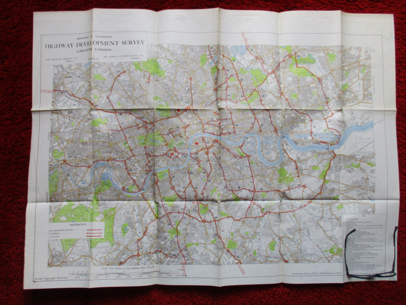
Ministry of Transport Highway Development Survey 1...
Bressey & Lutyens.
HMSO
£90.00
Offered by Arthur Hook
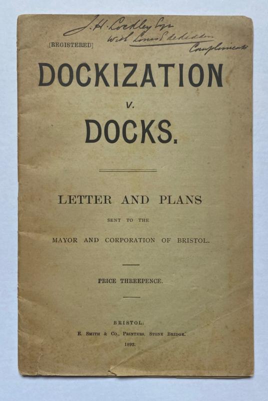
Dockization versus Docks, Letters and Plans sent t...
de Ridder
de Ridder
£30.00
Offered by Arthur Hook
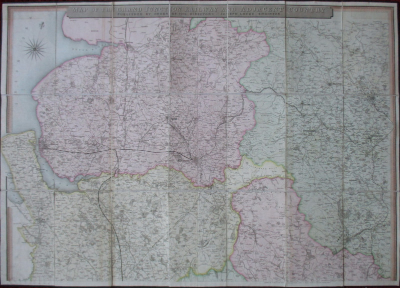
Map of the Grand Junction Railway and Adjacent Cou...
Cheffins
Cheffins
£350.00
Offered by Arthur Hook
Ordnance Survey map of City of London (part) with...
Yelland
Ordnance Survey
£55.00
Offered by Arthur Hook
Friends of the PBFA
For £10 get free entry to our fairs, updates from the PBFA and more.
Please email info@pbfa.org for more information