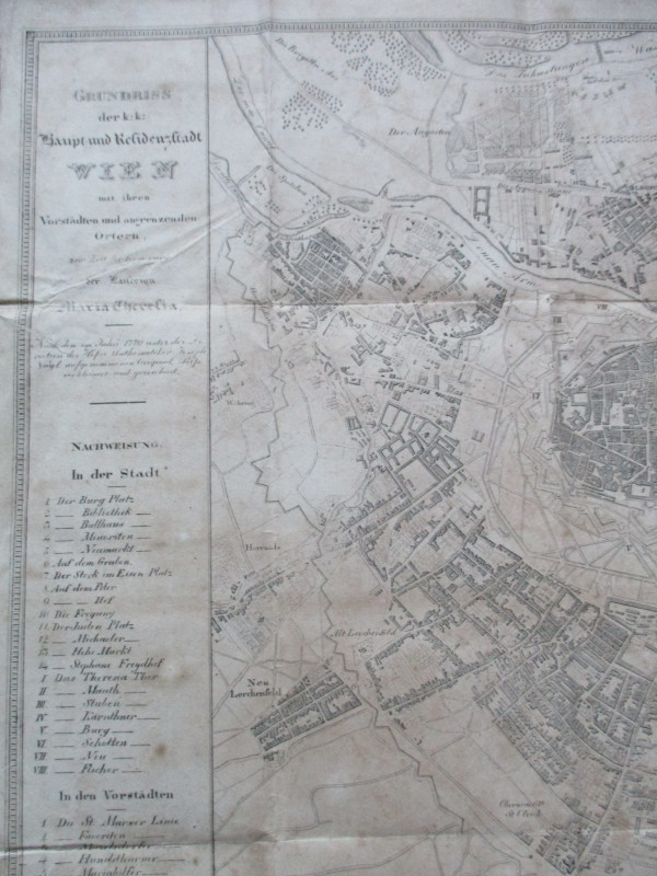
Lengths and Levels to Bradshaw's Maps of the Canals Navigable Rivers and Railways in the principal part of England dedicated to Thomas Telford


Book Description
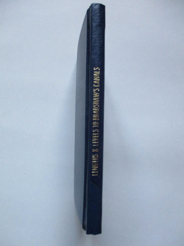
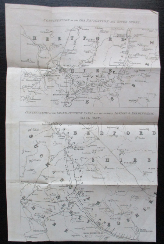
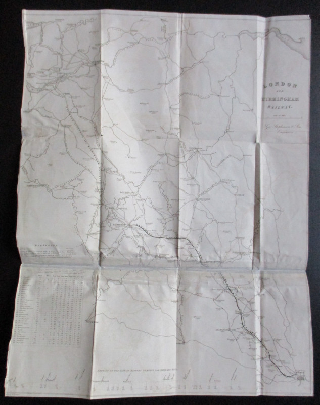
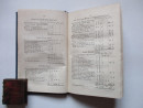
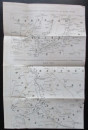
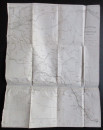
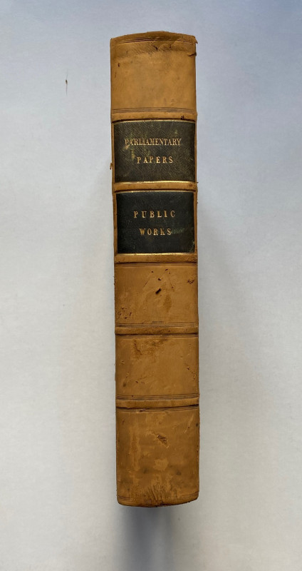
Lengths and Levels to Bradshaw's Maps of the Canals Navigable Rivers and Railways in the principal part of England dedicated to Thomas Telford published by Ruff London 1833 (50 pp.) bound with Extracts from the Minutes of Evidence given before the Committee of the Lords on the London and Birmingham Railway Bill, London 1832 (66 pp). In stiff cloth-covered boards size 21.5 by 14 cm. The lengths and levels are taken from a datum of six feet ten inches under the sill of the old dock gates at Liverpool. The intention was to have this information in order to interpret the early Bradshaw maps of railways and canals. With two folding maps in a pocket in the rear endpapers: of a continuation of the Lea Navigation & the River Stort, a continuation of the Grand Junction, and a map of the proposed London & Birmingham Railway with a section of the line by George Stephenson (old tape repair to a fold). Recent blue cloth boards and spine. Text and binding VG condition.
Author
Bradshaw
Date
1833
Binding
Hardback
Publisher
Ruff
Condition
Good to VG
Pages
116
Other books
If you liked the book you've just seen, you might be interested in other books from the same dealer below.
Parliamentary Reports on London and the Survey of...
House of Commons
Hansard
£235.00
Offered by Arthur Hook

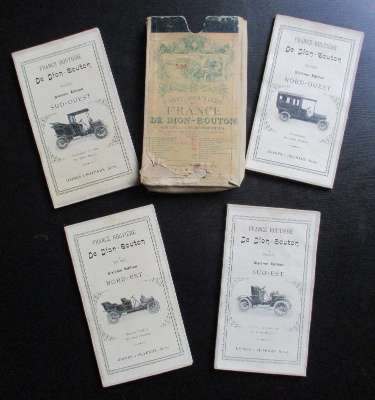
A set of four road maps of France for motorists pu...
De Dion Bouton Puteaux
De Dion Bouton Puteaux
£75.00
Offered by Arthur Hook
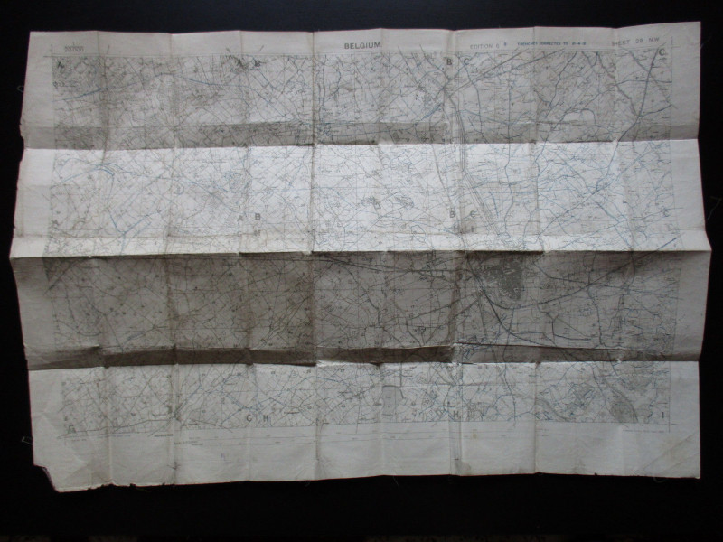
London and North Western Railway: Bolton and Chorl...
LNWR
London and North Western Railway
£145.00
Offered by Arthur Hook
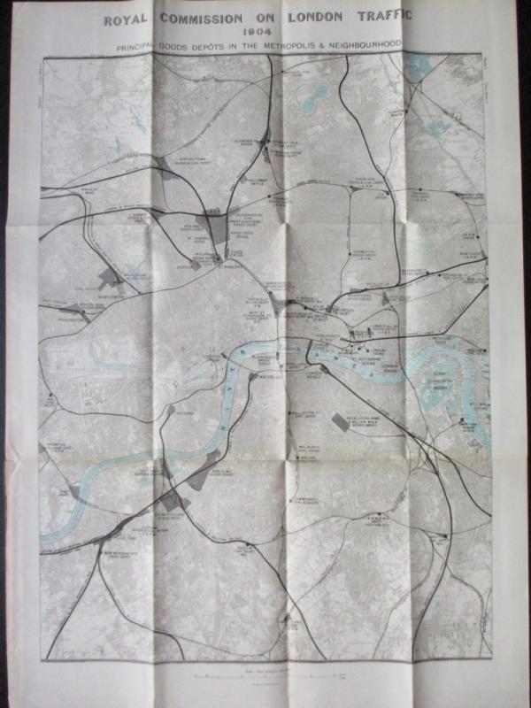
Three Maps showing the position of the Principal G...
Royal Commission on London Traffic
Hansard
£150.00
Offered by Arthur Hook
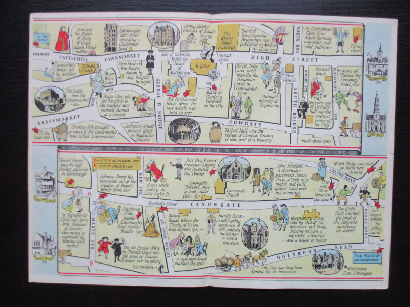
The Royal Mile, Edinburgh. A map displaying the wh...
Sayer
Strand Magazine
£40.00
Offered by Arthur Hook
Friends of the PBFA
For £10 get free entry to our fairs, updates from the PBFA and more.
Please email info@pbfa.org for more information