Scarborough’s Map of the British Isles shewing Geographical Counties and Boroughs, all Railway and Steamship lines

Book Description
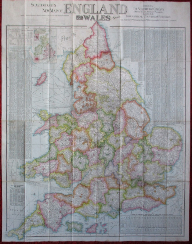
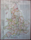
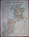
Scarborough’s Map of the British Isles shewing Geographical Counties and Boroughs, all Railway and Steamship lines, with distances between stations and landings, published by the Scarborough Company, London 1911. On weatherproof treated linen size 116 by 90 cm., scale 10 miles to the inch. Colour. Folds into original slipcase. A reversible map with a detailed map of England and Wales on one side and Scotland and Ireland on a scale of 12 miles to the inch to the other side. The England and Wales map includes small inset maps of Jersey, Guernsey, Alderney and the other Channel Islands. A key gives information on administrative units and boundaries, railways, canals, parks, abbeys and castles, lighthouses etc. There are also tables on the size and the population of the various counties based on the census of 1901, the area and population of the British Empire and a detailed index of towns. The map of Scotland and Ireland is also very detailed and includes an inset map of the Shetland and Orkney Islands. Slight wear to slipcase. Map VG condition.
Author
Anon
Date
1911
Binding
Folds into slipcase
Publisher
Scarborough Company
Condition
VG
Other books
If you liked the book you've just seen, you might be interested in other books from the same dealer below.


Canadian Pacific Poster circa 1930 Canadian Pacifi...
Canadian Pacific
Canadian Pacific
£500.00
Offered by Arthur Hook

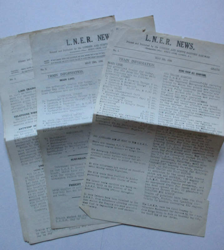
LNER General Strike Newsletter 1926
London and North Eastern Railway
London and North Eastern Railway
£50.00
Offered by Arthur Hook
Friends of the PBFA
For £10 get free entry to our fairs, updates from the PBFA and more.
Please email info@pbfa.org for more information