Map of Delhi 1945

Book Description
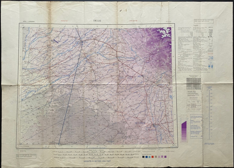
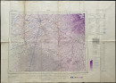
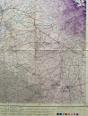
Map of Delhi. Published by the Survey of India, Calcutta 1945. On paper size 88 by 63 cm. A British military map coded NH 63 Hind 5000. The 6th Army/Air edition 1945. Marked restricted. Includes the cities of Delhi. Amritsar, Lahore and Simla. Colour. A key provides information on features including mountains, passes, towns of various sizes, post offices, telegraph offices, caravan halting places, forts, mines, oil wells and pipelines, temples, pagodas, Christian missions, mosques, roads, railways, canals etc. in both English and French. There is a second key to airfields, landing strips and emergency landing grounds. A flight path has been added in colour between Bikaner and Lahore. One overprinting in ink to indicate that one airfield has been abandoned since original publication. A detailed map in good condition. Has been folded.
Author
Survey of India
Date
1945
Publisher
Survey of India
Condition
Good
Other books
If you liked the book you've just seen, you might be interested in other books from the same dealer below.

Memoirs of General Miller in the Service of the Re...
Miller
Longman, Rees, Orme, Brown and Green
Reserved
Offered by Arthur Hook
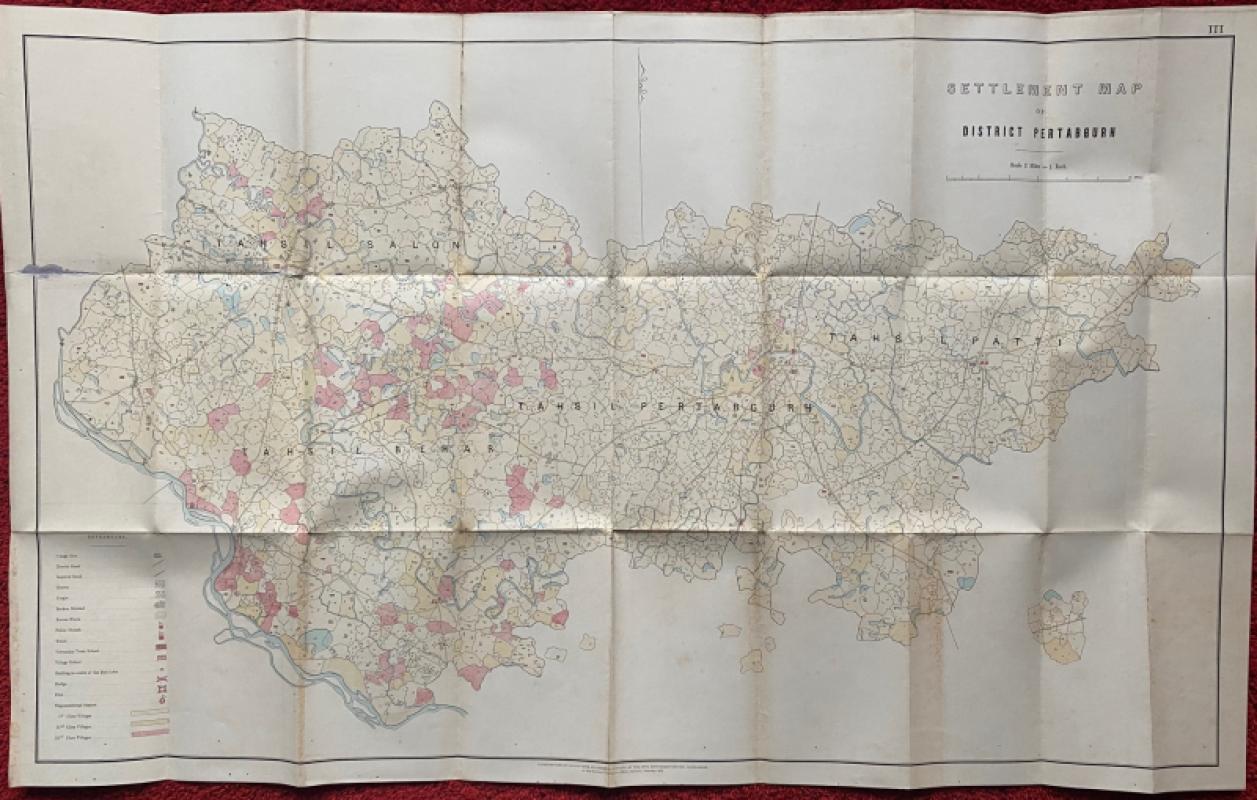
Settlement Map of District Pertabgurh (Pratapgarh...
Survey of India
Survey of India
£100.00
Offered by Arthur Hook
Friends of the PBFA
For £10 get free entry to our fairs, updates from the PBFA and more.
Please email info@pbfa.org for more information