Bradshaw's Map of the Railways in Central Europe 1852
Book Description
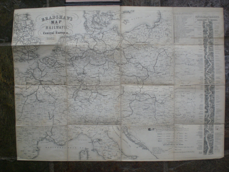
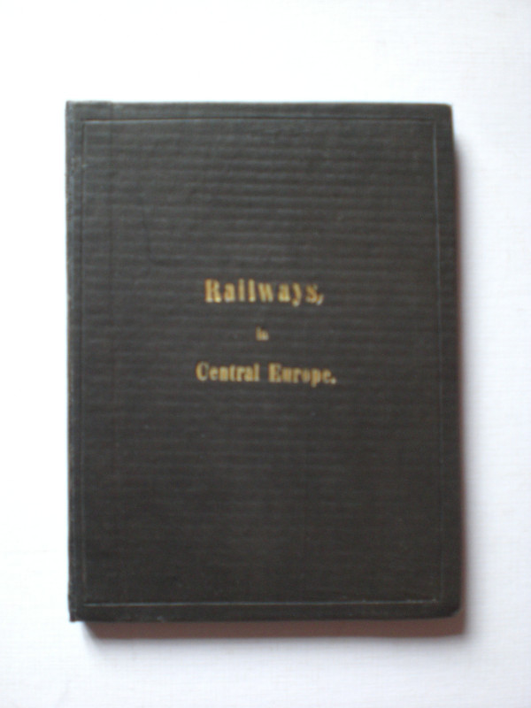
Bradshaw's Map of the Railways in Central Europe, published by Bradshaw and Blacklock, London 1852. On folding linen in 16 sections. Size 56 by 41 cm. Keys provide information on 26 small states and territories, the distance between towns, the size of towns and cities, the "steam track" etc. With an engraved panorama of the Rhine from Dusseldorf to Mayence down the right side of the map. Folds into stiff cloth-covered boards with the title gold-stamped to the front. Spine relaid. With the small 1 cm. diameter clear stamp of the Selbourne Library to the front endpaper. VG condition.
Author
Bradshaw
Date
1852
Binding
Linen backed folding to stiff boards
Publisher
1852
Illustrator
Bradshaw
Condition
VG
Other books
If you liked the book you've just seen, you might be interested in other books from the same dealer below.
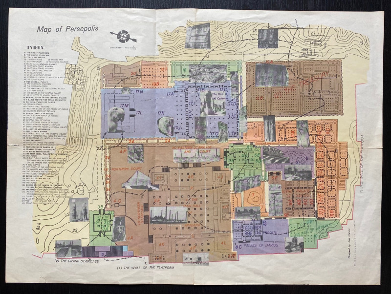
Map of Persepolis & Iran 1955
Hatami
Iranian Government Department of Communications
£45.00
Offered by Arthur Hook
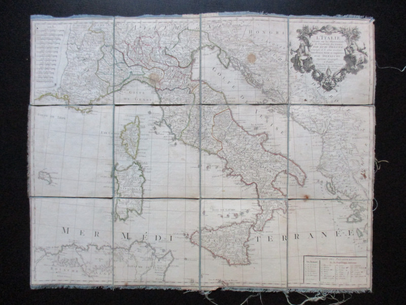
Map of Italy. L'Italie Dresse sur les Observations...
Delisle
Dezauche
£105.00
Offered by Arthur Hook
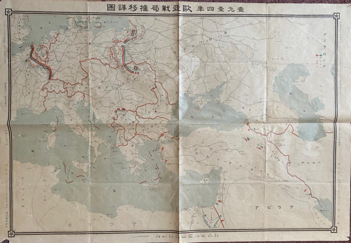
Japanese Map of the First World War in Europe and...
Hasegawa
Scichisaku
£75.00
Offered by Arthur Hook
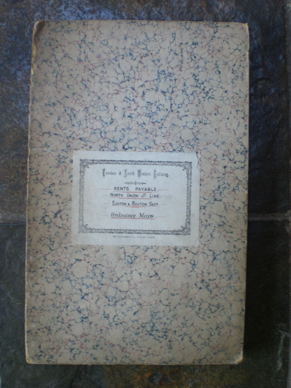
London and North Western Railway: Bolton and Chorl...
LNWR
London and North Western Railway
£145.00
Offered by Arthur Hook
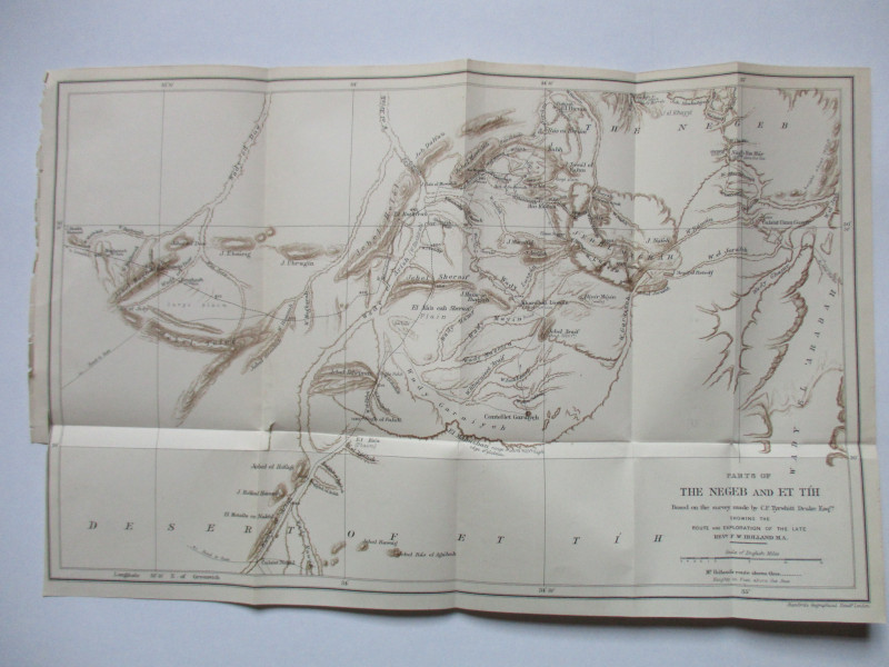
Map of Parts of the Negeb and Et Tih Palestine 188...
Drake
Palestine Exploration Fund
£40.00
Offered by Arthur Hook
Friends of the PBFA
For £10 get free entry to our fairs, updates from the PBFA and more.
Please email info@pbfa.org for more information