Map and Sections of the Brighton, Croydon and South Eastern (Dover) Railways 1841
Book Description
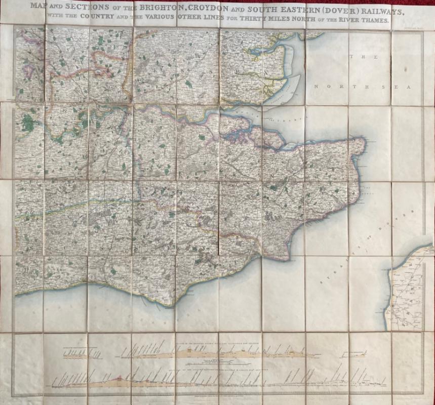
Map and Sections of the Brighton, Croydon and South Eastern (Dover) Railways, with the Country and the Various Other Lines for Thirty Miles North of the River Thames, published by Jobbins, London 1841. Drawn and engraved by Jobbins. On folding linen in 50 sections, size 91 by 97 cm. Scale 5 miles to the inch, with a separate vertical scale of one inch to 500 feet for the four sections below the map. The longest section, from London to Dover, is the work of the engineer W Cubitt. Hand-coloured. A very detailed map in VG condition. Folds into new cloth-covered boards that have the original gilt title strip laid to the spine.
Author
Jobbins
Date
1841
Binding
Folds into stiff boards
Publisher
Jobbins
Illustrator
Jobbins
Condition
VG
Other books
If you liked the book you've just seen, you might be interested in other books from the same dealer below.
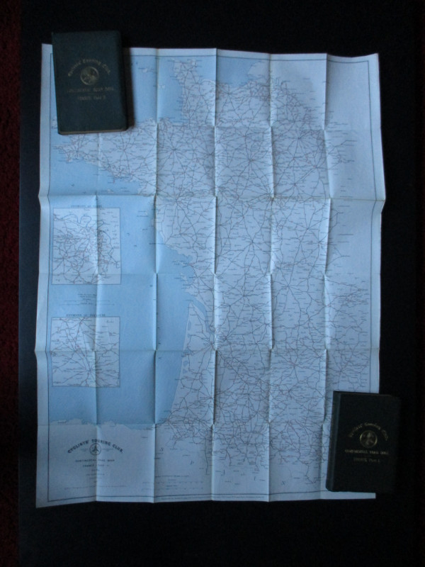
CTC Cycling Handbooks & Maps of France 1900
Anon
CTC & Andriveau Goujon
£50.00
Offered by Arthur Hook
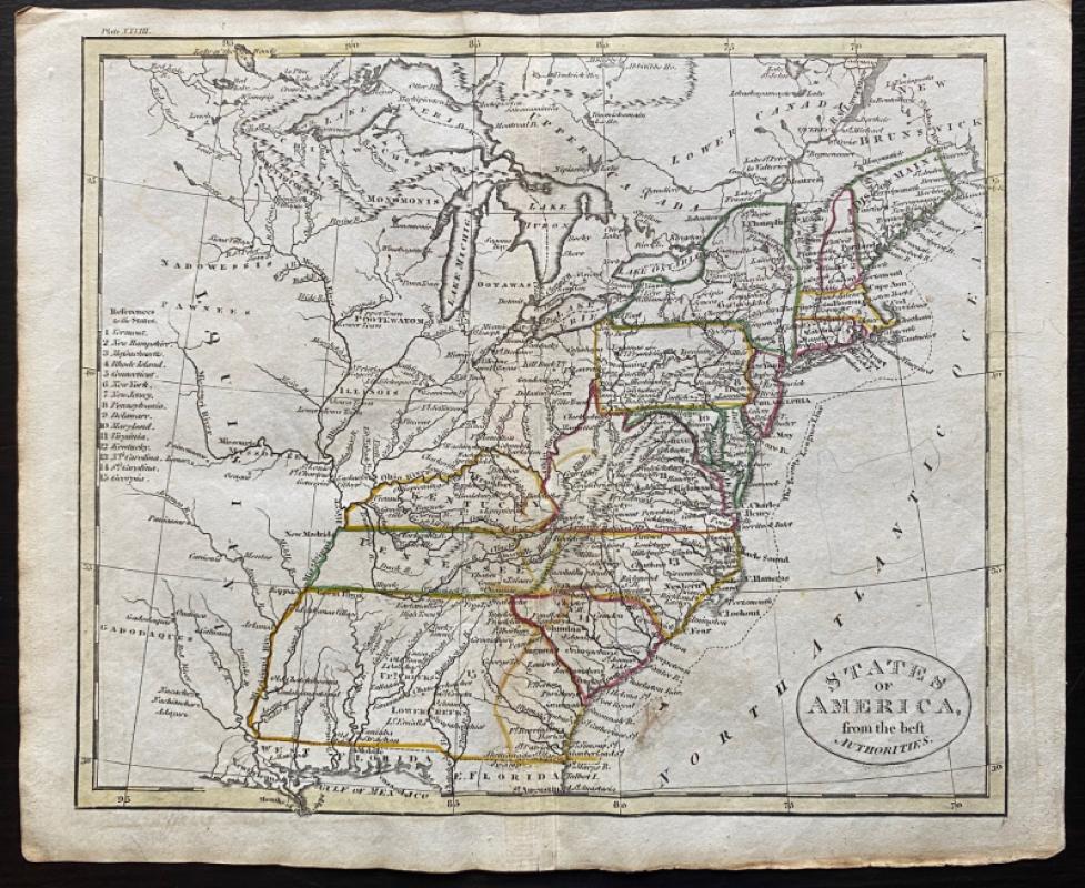
Map of the British Colonies in North America
Russell
Rivington, Wilkie and others
£100.00
Offered by Arthur Hook
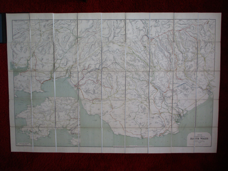
Railway Clearing House Map of South Wales 1926
Emslie
Railway Clearing House
£125.00
Offered by Arthur Hook

Friends of the PBFA
For £10 get free entry to our fairs, updates from the PBFA and more.
Please email info@pbfa.org for more information