Carte Generale des Chemins de la France et de l’Allemagne indiquant toutes les stations a l’usage des voyageurs

Book Description
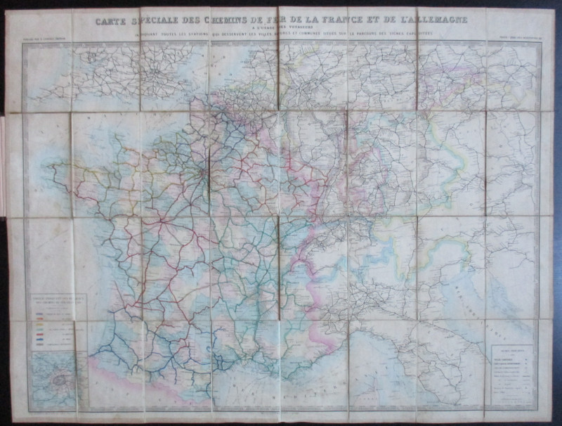
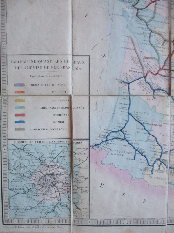
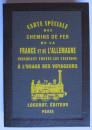
Carte Generale des Chemins de la France et de l’Allemagne indiquant toutes les stations a l’usage des voyageurs by Vuillemin, published by Logerot, Paris circa 1868 (A map of the railways of France and Germany with all the stations for travellers- though the map also covers the railways of Switzerland, Belgium and parts of Holland and Italy). A folding map on linen in 32 sections, size 94 by 69 cm. Scale 45 kilometres to the inch. With a colour-coded key to the lines of six major French companies. There is also a key to towns, cities, ferry ports, railways built, railways under construction and to projected lines. Includes an inset map of the Paris region. Folds into attractive modern boards which have an image of a locomotive and the publisher’s details to the front, a nod to the original 1860s cover. VG condition.
Author
Vuillemin
Date
1868
Binding
Folds into stiff boards
Publisher
Logerot
Illustrator
Vuillemin
Other books
If you liked the book you've just seen, you might be interested in other books from the same dealer below.
The Lady’s Manual of Homeopathic Treatment in the...
Ruddock
Homeopathic Publishing Company
£35.00
Offered by Arthur Hook

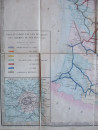
Geological Map of England and Wales with all the R...
Murchison
Stanford
£75.00
Offered by Arthur Hook

Bradshaw’s General Atlas with the latest Discoveri...
Bradshaw
Bradshaw
£325.00
Offered by Arthur Hook
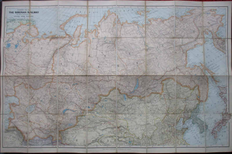
Stanford’s Map of the Siberian Railway: The Great...
Stanford
Stanford
£595.00
Offered by Arthur Hook


A Map of Brighton “The Queen of Watering Places” f...
Sayer
Strand Magazine
£40.00
Offered by Arthur Hook

Friends of the PBFA
For £10 get free entry to our fairs, updates from the PBFA and more.
Please email info@pbfa.org for more information