Plan of the Fortress and Peninsula of Gibraltar


Book Description
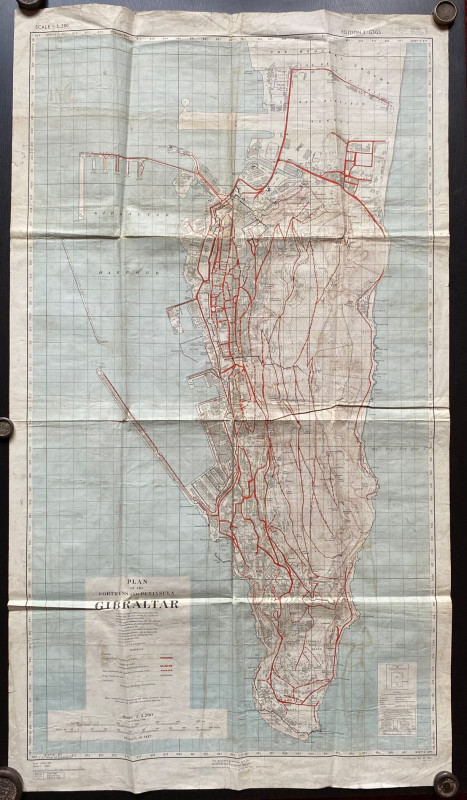
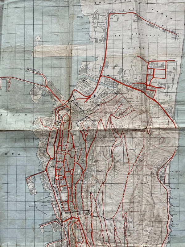
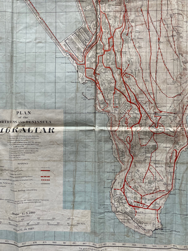
Plan of the Fortress and Peninsula of Gibraltar published by D Service, British War Office and Air Ministry 1956. Coded GSGS 4539, Edition 2. On paper size 110 by 64 cm. Scale 1:5,280. Colour. The 1st edition was drawn and reproduced by the War Office 1944 based on a 12 inch to the mile plan. This edition has added details from air photography and from admiralty charts. A key provides information on features including roads, railways, non-metalled roads and footpaths, steps etc. Dockyards military bases and installations are shown in considerable detail. Has been handled, folded and creased. Two small holes have been repaired to the reverse with archival standard repair materials. Outside one margin there is a code in ink G4719. Good condition with these qualifications.
Author
British War Office & Air Ministry
Date
1956
Publisher
British War Office & Air Ministry
Condition
Fair to Good
Other books
If you liked the book you've just seen, you might be interested in other books from the same dealer below.


History of the Barry Railway Company 1884-1921
Rimmell
Barry Railway Company
£165.00
Offered by Arthur Hook

Geological Map of England and Wales with all the R...
Murchison
Stanford
£75.00
Offered by Arthur Hook

Epitome of the Ancient History of Japan with illus...
McLeod
Rising Sun Office
£200.00
Offered by Arthur Hook
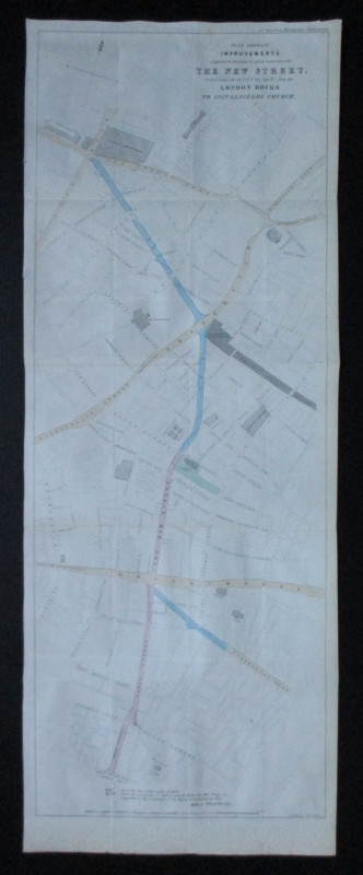
Plan Shewing Improvements suggested in extension o...
Pennethorne
Hansard
£75.00
Offered by Arthur Hook

Norman Hartnell original sketched design with fabr...
Hartnell
Unpublished
£175.00
Offered by Arthur Hook
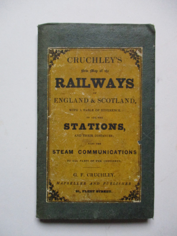
Cruchley’s New Map of the Railways of England and...
Cruchley
Cruchley
£85.00
Offered by Arthur Hook
Friends of the PBFA
For £10 get free entry to our fairs, updates from the PBFA and more.
Please email info@pbfa.org for more information