Map of Calcutta 1842
Book Description
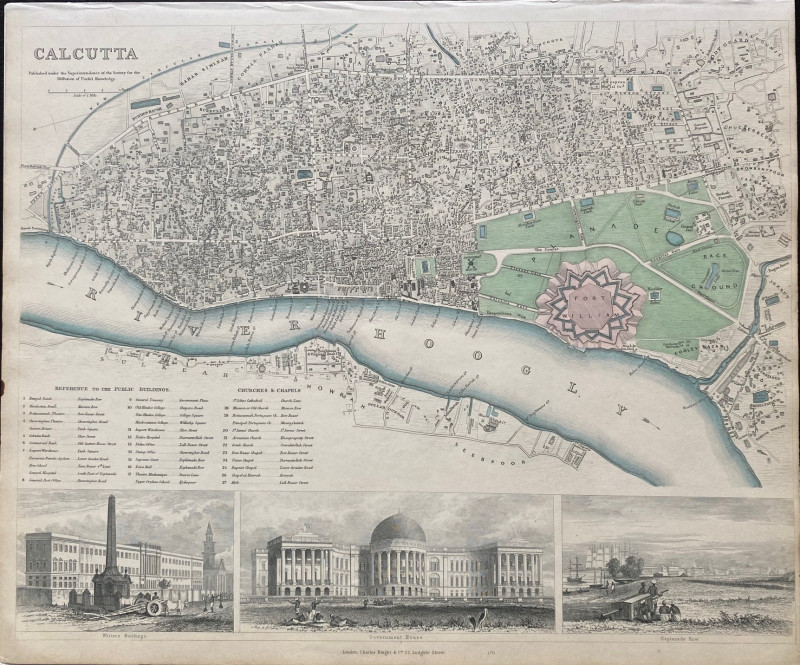
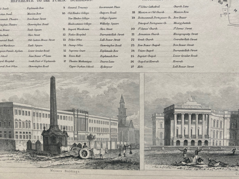
Map of Calcutta published under the supervision of the Society of the Diffusion of Useful Knowledge, London 1842. On paper size 10 by 34 cm. Scale 3 inches to the mile. Hand-coloured. Includes vignettes of Government House, Esplanade Row and Writers Buildings. There is a key to 17 public buildings that appear on the map including police and stamp offices, warehouses, hospitals, banks, schools etc. and another key to 12 churches and chapels in the city. A detailed map in VG condition.
Author
Anon
Date
1842
Publisher
SDUK
Condition
VG
Other books
If you liked the book you've just seen, you might be interested in other books from the same dealer below.
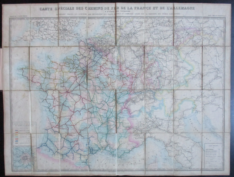
Carte Generale des Chemins de la France et de l’Al...
Vuillemin
Logerot
£70.00
Offered by Arthur Hook
Maps, plans and views from Elphinstone’s Account o...
Elphinstone
Eyre and Spottiswoode
£525.00
Offered by Arthur Hook

Friends of the PBFA
For £10 get free entry to our fairs, updates from the PBFA and more.
Please email info@pbfa.org for more information