Historic York. A map by Estra Clark 1947


Book Description
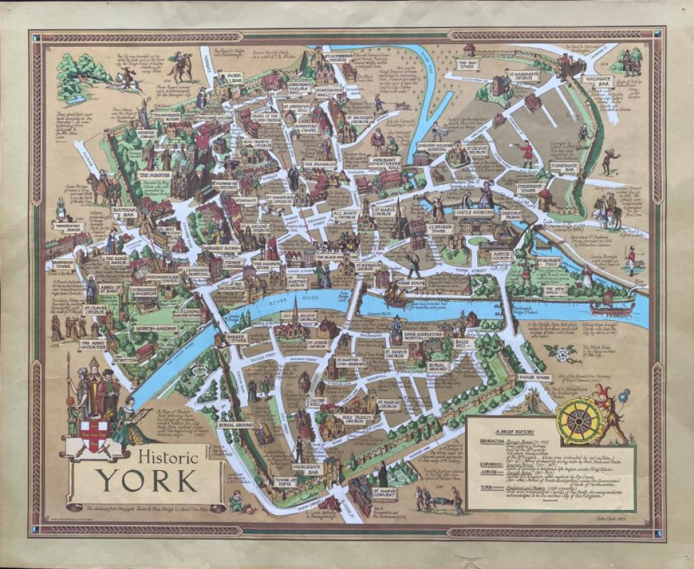
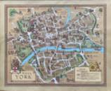
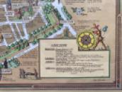
Historic York. A map by Estra Clark, printed and published by Johnson of York 1947. On good quality paper size 69 by 57 cm. Scale 22 inches to the mile- the distance between Marygate Tower to the Blue Bridge. The map shows the city as it might appear from above in a third dimension so that the streets and buildings are seen in relief. Full colour with a decorative border. Estra Clark was a Yorkshire-born teacher and artist who specialised in creating maps that were amusing and informative, capturing the optimism of the post war period. Small pinholes in each corner outside the margins of the map. Good to VG condition.
Author
Clark
Date
1947
Illustrator
Clark
Condition
Good to VG
Other books
If you liked the book you've just seen, you might be interested in other books from the same dealer below.
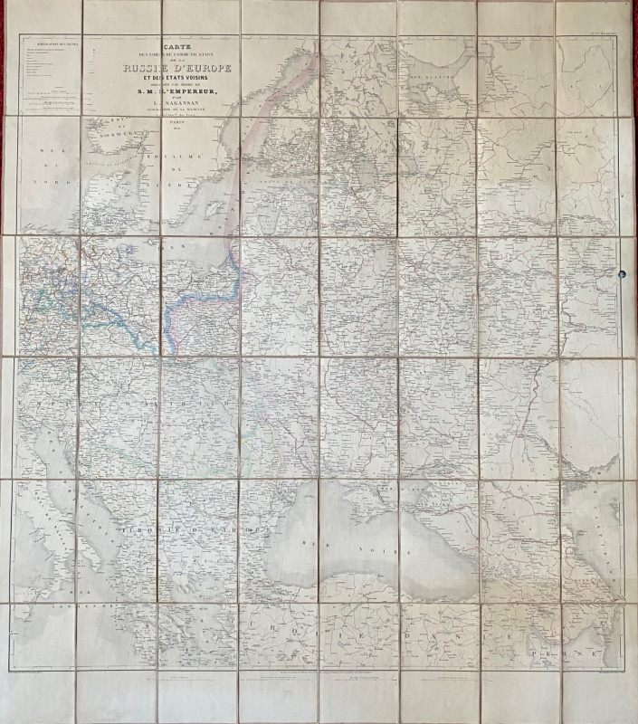
Map of European Russia and neighbouring states 185...
Sagansan
Avril Frėres
£185.00
Offered by Arthur Hook
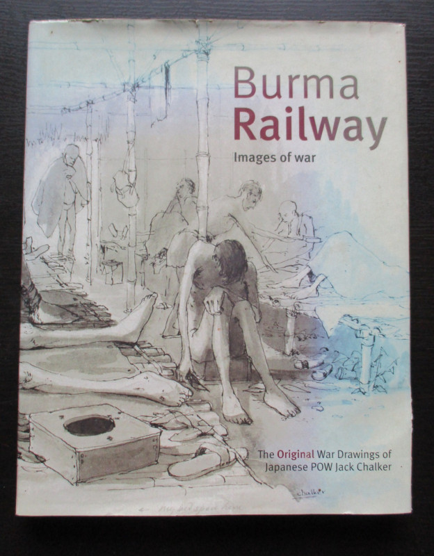
Burma Railway Images of War. The original war draw...
Chalker
Mercer Books
£45.00
Offered by Arthur Hook
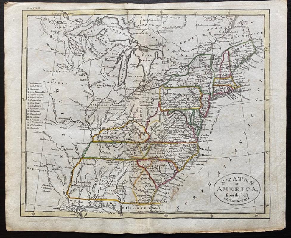
Map of the British Colonies in North America
Russell
Rivington, Wilkie and others
£100.00
Offered by Arthur Hook
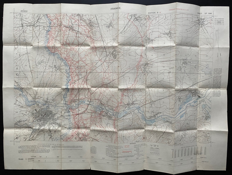
Trench Map of the Arras area France 1917
Ordnance Survey for British General Staff
Ordnance Survey for British General Staff
£165.00
Offered by Arthur Hook
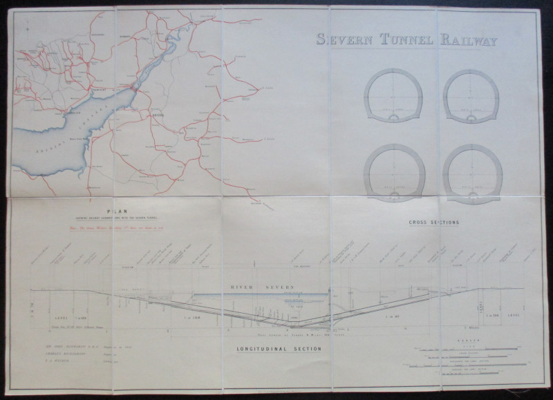
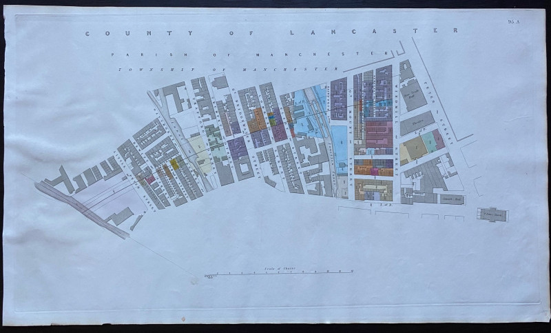
Map and Sections of the Severn Tunnel Railway 1875
Hawkshaw and Richardson
Unpublished
£250.00
Offered by Arthur Hook
Friends of the PBFA
For £10 get free entry to our fairs, updates from the PBFA and more.
Please email info@pbfa.org for more information