Map of Washington Air Defence Zone 1942

Book Description
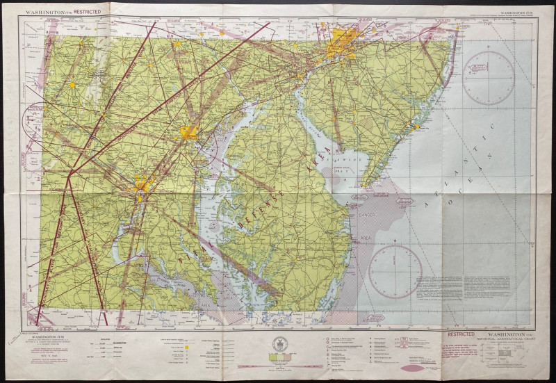
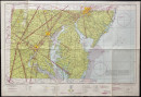
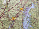
Map of Washington Air Defence Zone 1942. Compiled by the US Coast and Geodetic Survey under the direction of Colbert, November 5th 1942. On paper size 89 by 61 cm. Scale approximately 8 miles to the inch. Full title Sectional Aeronautical Chart Sheet T-9. A key provides information on features including lookout towers, army, navy or marine corps fields, commercial airports, seaplane bases and anchorages, beacons, radio stations, direction finder stations, plus various types of roads, railroads and settlements etc. Marked restricted and presumably produced as part of US home defence plans. Lines of vital defence areas are printed over the map and prohibited and danger areas are clearly shown. Includes Philadelphia and the coast from Lavalette south to Chincoteague Bay. Has been folded.
Author
Colbert
Date
1942
Publisher
US Coast and Geodetic Survey
Condition
VG
Other books
If you liked the book you've just seen, you might be interested in other books from the same dealer below.
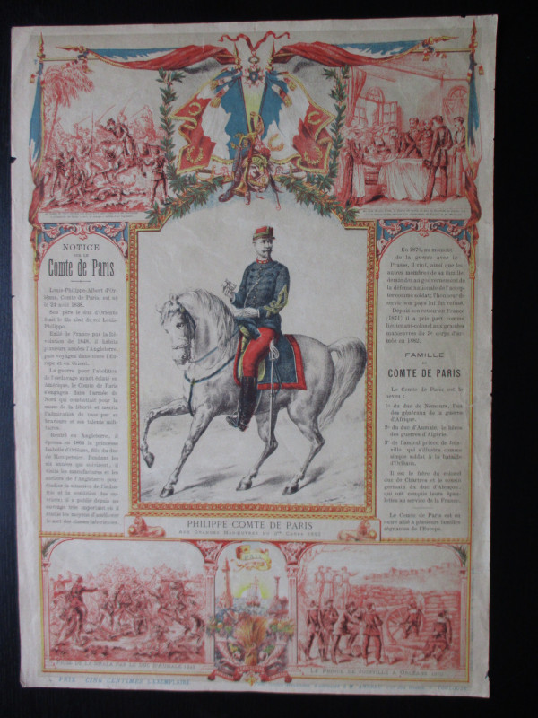
French Royalist Publicity Poster Philippe Comte de...
Philippe Comte de Paris
Thomas and Conferon
£45.00
Offered by Arthur Hook

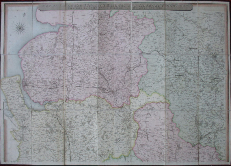
Map of the Grand Junction Railway and Adjacent Cou...
Cheffins
Cheffins
£350.00
Offered by Arthur Hook
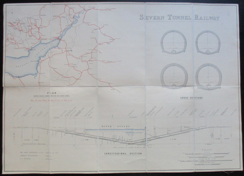
Map and Sections of the Severn Tunnel Railway 1875
Hawkshaw and Richardson
Unpublished
£250.00
Offered by Arthur Hook

Nouveau Manual Complet du Terrassier et de l’Entre...
Etienne and Masson
Roret
£50.00
Offered by Arthur Hook
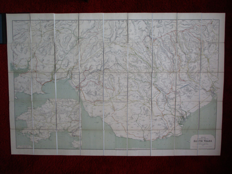
Railway Clearing House Map of South Wales 1926
Emslie
Railway Clearing House
£125.00
Offered by Arthur Hook
Friends of the PBFA
For £10 get free entry to our fairs, updates from the PBFA and more.
Please email info@pbfa.org for more information