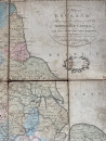
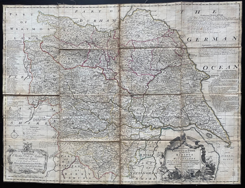
A New Map of England shewing the Lines of all of the Navigable Canals
Book Description
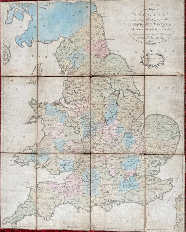
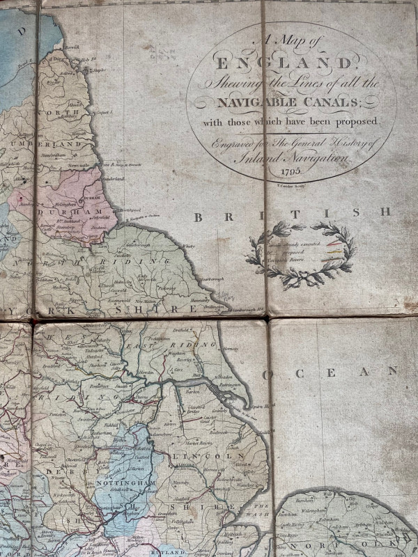
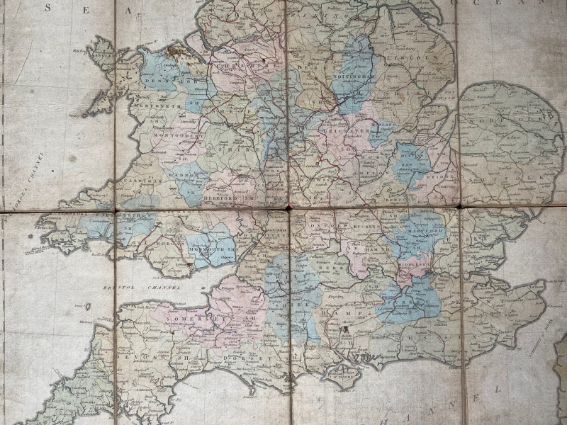
A New Map of England shewing the Lines of all of the Navigable Canals with those which have been proposed, engraved for the General History of Inland Navigation by T Conder, London 1795. On folding linen in 12 sections size 71 by 57 cm. With a key to canals already executed, canals already proposed and the navigable rivers. Hand coloured. Despite its title the map includes all of Wales. Worms and Baynton-Williams describe Conder as an engraver, cartographer, bookseller and printmaker active in London in the late 18th century. Folds into a marbled front cover which has the title on a panel. Some age toning and occasional ink spots. Several folds have small gaps at the fold joints though there is no loss. Overall Good condition.
Author
Conder
Date
1795
Publisher
Conder
Illustrator
Conder
Condition
Fair to Good
Other books
If you liked the book you've just seen, you might be interested in other books from the same dealer below.
The House Beautiful and Useful: Being practical su...
Elder-Duncan
Cassell
£85.00
Offered by Arthur Hook
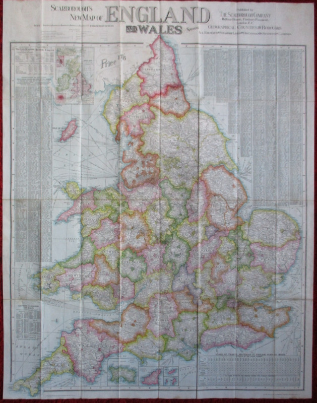
Scarborough’s Map of the British Isles shewing Geo...
Anon
Scarborough Company
£105.00
Offered by Arthur Hook
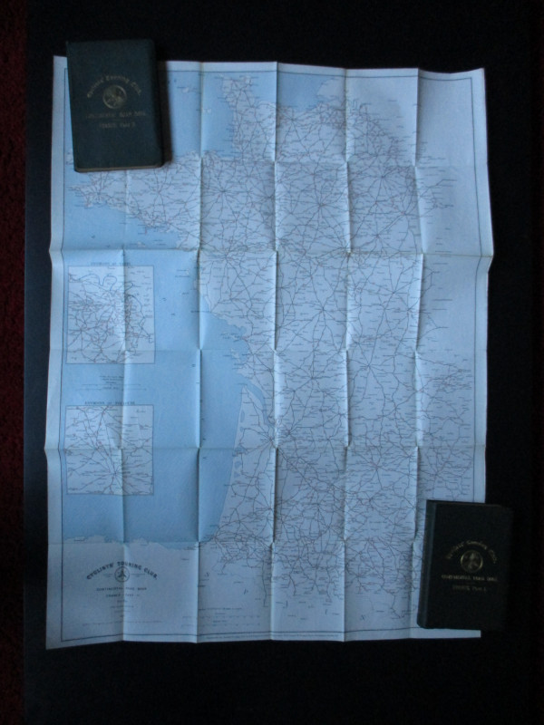
CTC Cycling Handbooks & Maps of France 1900
Anon
CTC & Andriveau Goujon
£50.00
Offered by Arthur Hook
The Lady’s Manual of Homeopathic Treatment in the...
Ruddock
Homeopathic Publishing Company
£35.00
Offered by Arthur Hook
Friends of the PBFA
For £10 get free entry to our fairs, updates from the PBFA and more.
Please email info@pbfa.org for more information