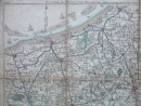
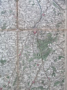
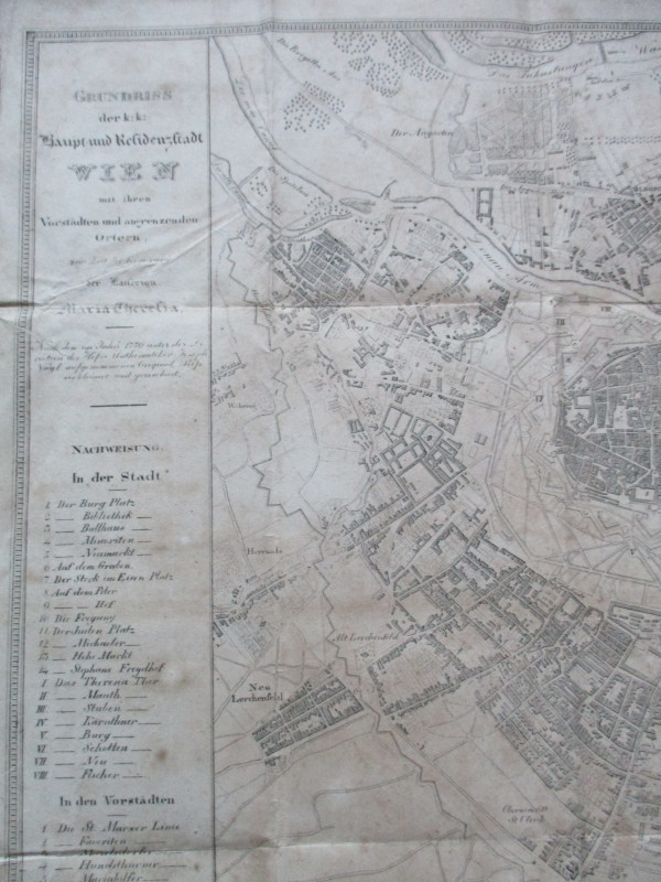
Map of les Environs de Nieuport, Furnes, Ipres, Courtrai, Menin, Dunkerke, Gravelines, Lille, Armentieres, Cassel etc.
Book Description
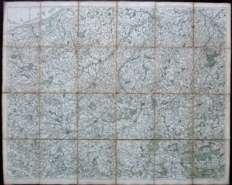
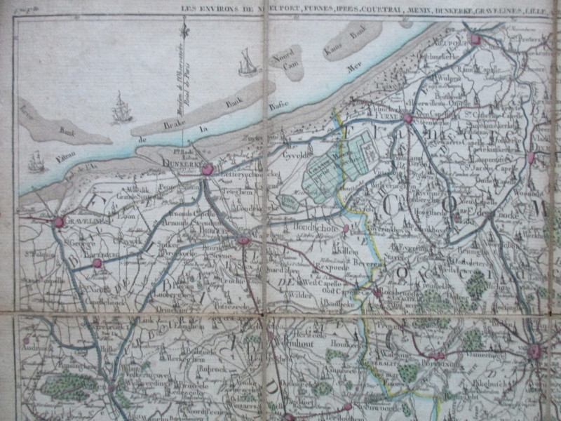
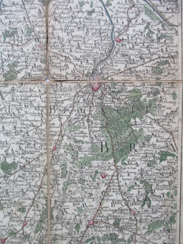
Map of les Environs de Nieuport, Furnes, Ipres, Courtrai, Menin, Dunkerke, Gravelines, Lille, Armentieres, Cassel etc. and les Environs de Bruxelles, Malines, Gand, Tournai etc. No details of publisher, mapmaker or date but circa 1775. On folding linen in 24 sections, size 83 by 67 cm. Scale 1.5 French leagues to the inch, with a second scale in Brabant leagues. Hand-coloured. Churches, fortifications, woods and other features are shown in a stylised manner, and images of sailing ships also appear off the coast. The map includes the Meridian of the Royal Observatory of Paris. Heights are shown by shading or hachuring. The number 9 (IX) appears in two corners outside the margins of the map.
Author
Anon
Date
1775
Publisher
Anon
Condition
Good
Other books
If you liked the book you've just seen, you might be interested in other books from the same dealer below.
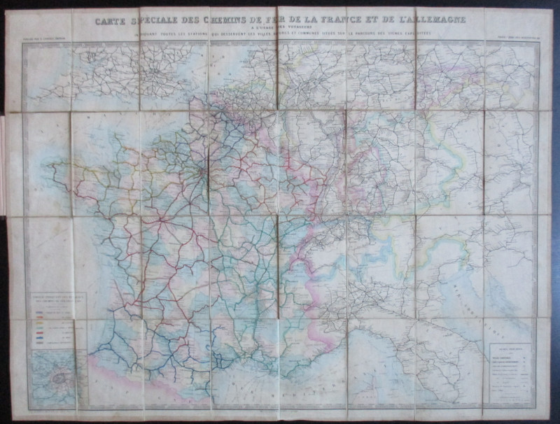
Carte Generale des Chemins de la France et de l’Al...
Vuillemin
Logerot
£70.00
Offered by Arthur Hook
A Prospect of the Cathedral and College of Winches...
Sayer
Strand Magazine
£35.00
Offered by Arthur Hook
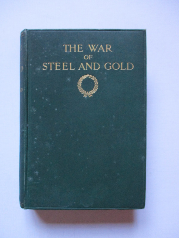
The War of Steel and Gold- Bertrand Russell Signed...
Brailsford
Bell
£450.00
Offered by Arthur Hook
Set of 9 OS Maps of South-East England circa 1845
Ordnance Survey
Ordnance Survey
£750.00
Offered by Arthur Hook
La République Française en LXXXVIII départemens: d...
Une Societé de Geographes
Une Societé de Geographes
£450.00
Offered by Arthur Hook
Friends of the PBFA
For £10 get free entry to our fairs, updates from the PBFA and more.
Please email info@pbfa.org for more information