Lowry's Table Atlas
Book Description
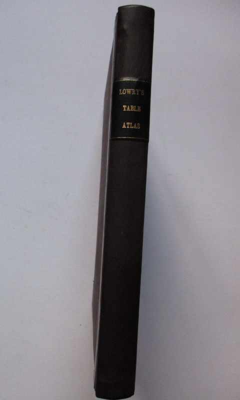
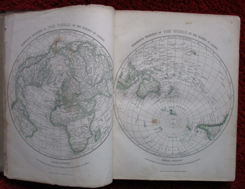
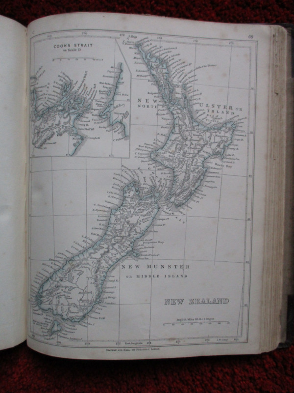
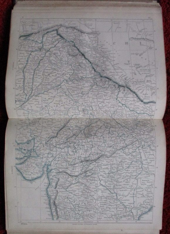
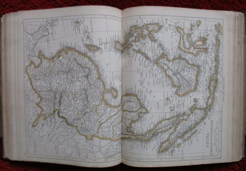
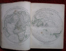
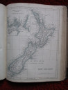
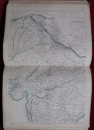
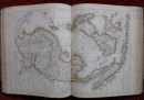
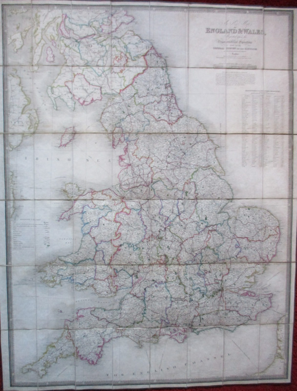
Lowry’s Table Atlas constructed and engraved from from the most recent Authorities by J W Lowry, published by Chapman and Hall, London 1852. In a half leather binding, size 32 by 25 cm. Contains 100 maps, many double page and all without text to the reverse. There are two double page world maps, 37 maps of Europe, 19 maps of Asia (including 8 maps of India), 8 maps of Australia and New Zealand, 2 of Polynesia, 12 of Africa, one of the Arctic and 16 of the Americas. These include 6 of the United States. Some hand colouring, mainly of frontiers and borders. Much of the interior of Africa appears as uncharted. The mapping of America, India , Australia and New Zealand is particularly detailed. With a 27 page index. Occasional foxing mainly to endpapers and the reverse of the maps. A signature, possibly that of the original owner, in ink to the front endpapers, and in the same hand a list some of the towns of Asia has been written to the reverse of one of the maps of India. Rebacked with a new spine which has a gold-stamped title. Good condition.
Author
Lowry
Date
1852
Binding
Half leather binding
Publisher
1852
Condition
Good
Other books
If you liked the book you've just seen, you might be interested in other books from the same dealer below.
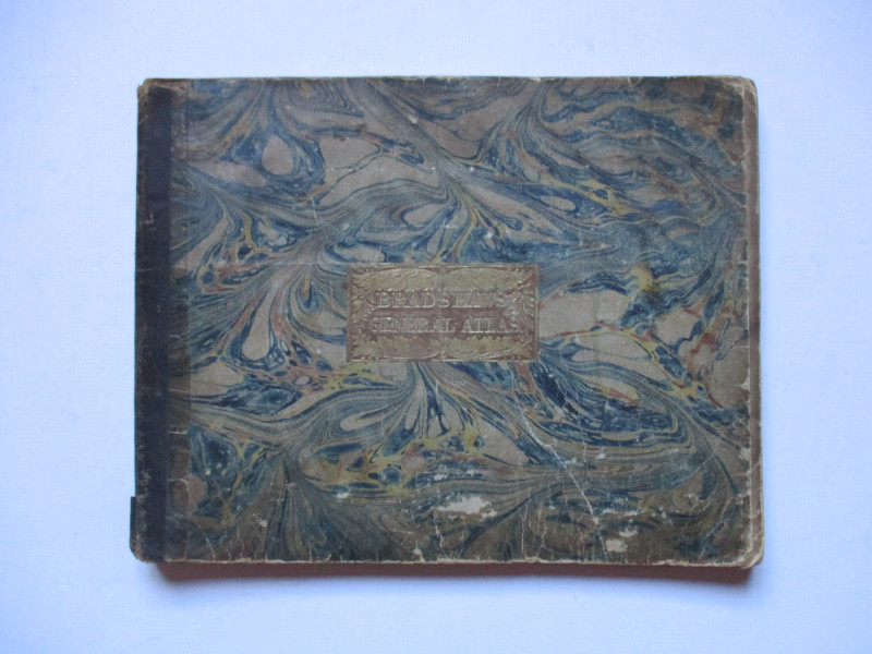
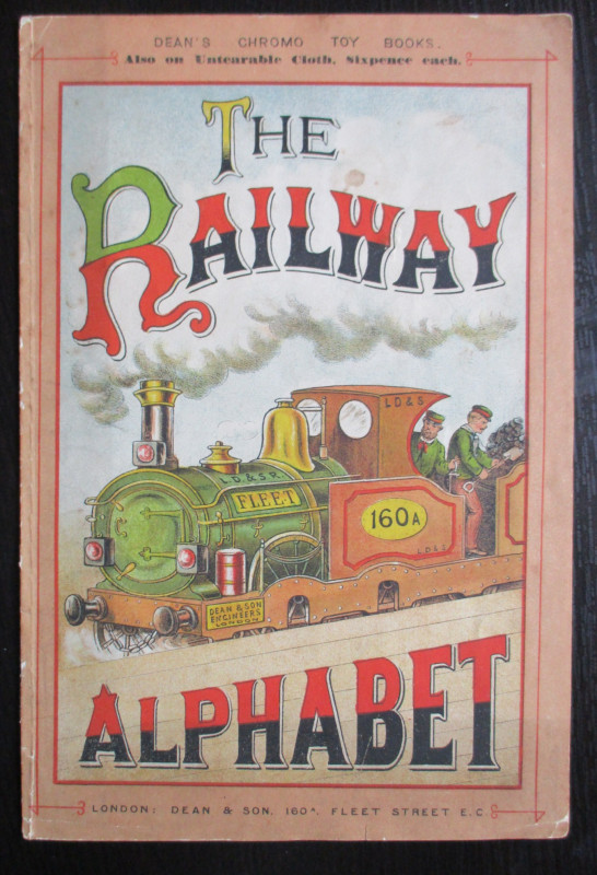
Bradshaw’s General Atlas with the latest Discoveri...
Bradshaw
Bradshaw
£325.00
Offered by Arthur Hook
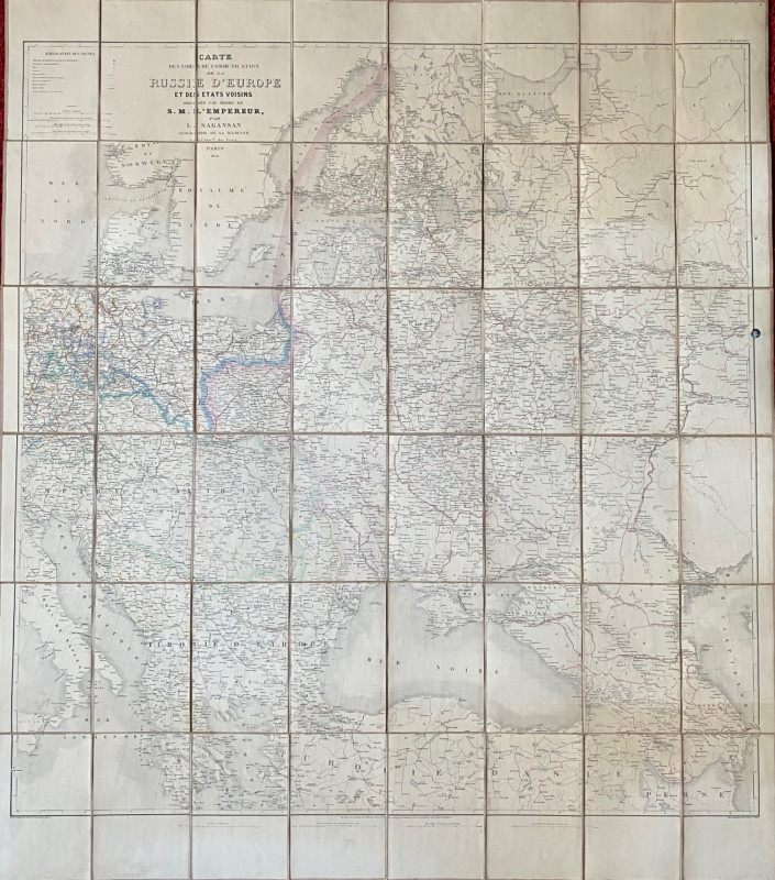
Map of European Russia and neighbouring states 185...
Sagansan
Avril Frėres
£185.00
Offered by Arthur Hook
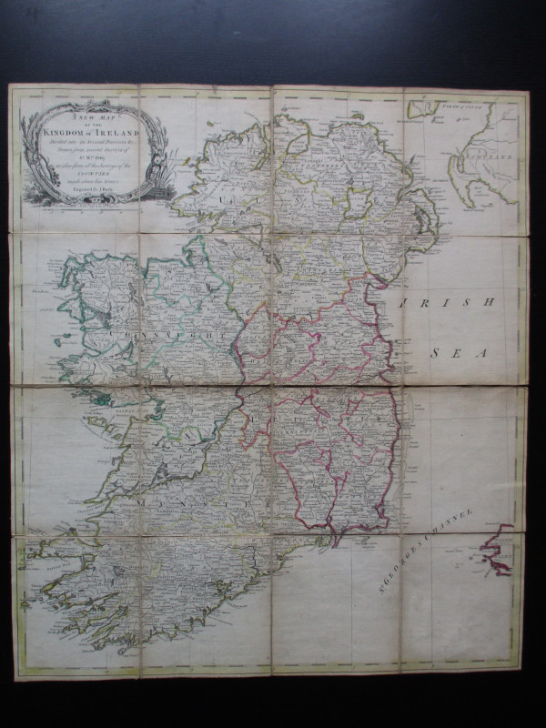
A New Map of the Kingdom of Ireland Divided into i...
Bayly
Carrington Bowles
£325.00
Offered by Arthur Hook
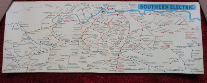
London Railway Map Carriage Print. Southern Electr...
Southern Electric
Southern Electric
£90.00
Offered by Arthur Hook
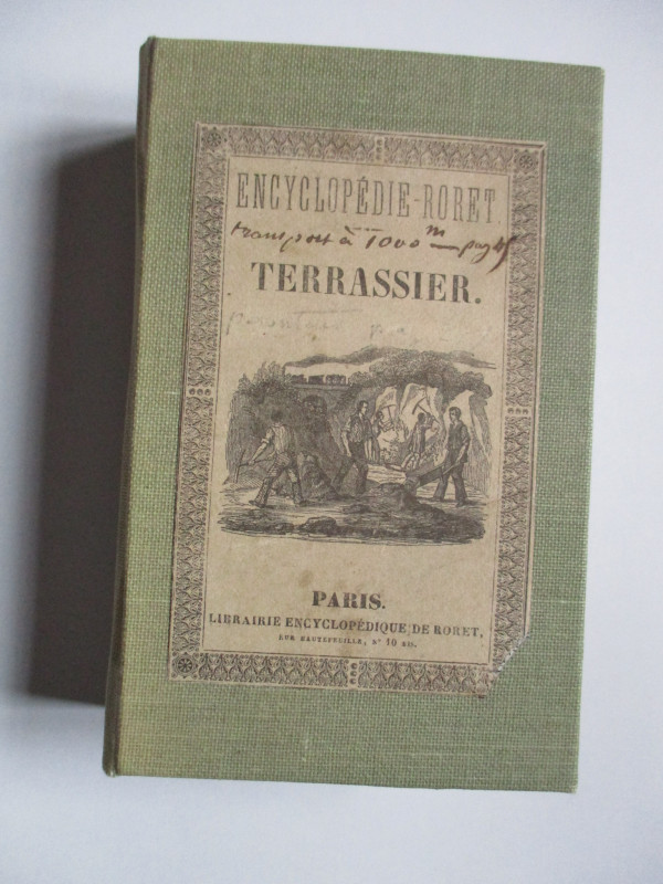
Nouveau Manual Complet du Terrassier et de l’Entre...
Etienne and Masson
Roret
£50.00
Offered by Arthur Hook
The London Almanack for the Year of Christ 1841
Anon
The London Company of Stationers
£125.00
Offered by Arthur Hook
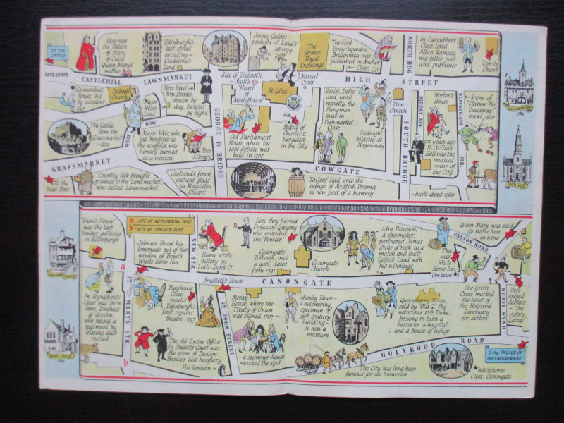
The Royal Mile, Edinburgh. A map displaying the wh...
Sayer
Strand Magazine
£40.00
Offered by Arthur Hook
Friends of the PBFA
For £10 get free entry to our fairs, updates from the PBFA and more.
Please email info@pbfa.org for more information