Map of Persepolis & Iran 1955

Book Description
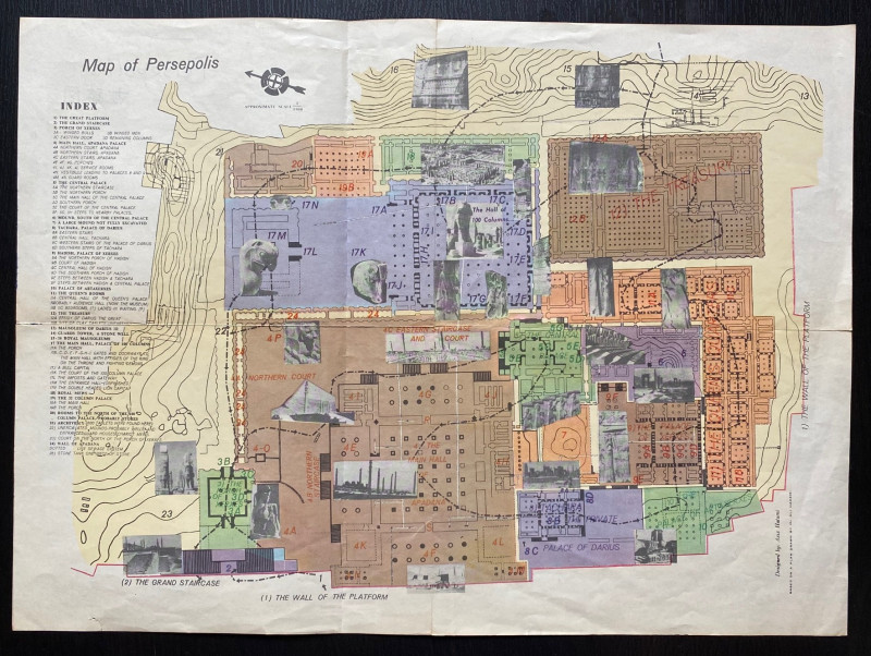
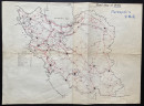
Map of Persepolis designed by Aziz Hatami circa 1955 published by the Iranian Government Department of Communications. Based on a plan by Ali Hakemi. On paper size 45 by 33 cm. Scale 1:1,000. Colour. With an index or key to dozens of features and small photographic images of many of them. To the reverse is a Road Map of Iran. Uncoloured. Includes a key to roads of various classifications, railways, caravan tracks, provincial capitals, international and local airports, historic sites abd petrol pumps. The city of Shiraz has been circled in ink and the word Persepolis has also been added in ink with a Japanese translation. Good condition.
Author
Hatami
Date
1955
Publisher
Iranian Government Department of Communications
Illustrator
Hatami
Condition
Good
Other books
If you liked the book you've just seen, you might be interested in other books from the same dealer below.
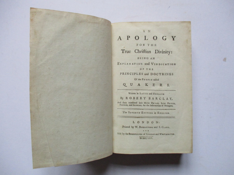
An Apology for the True Christian Divinity: being...
Barclay
Richardson and Clark
£100.00
Offered by Arthur Hook
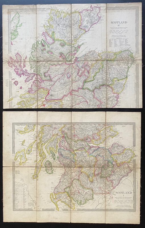
Map of Scotland with a Plan of Edinburgh 1834
Baldwin and Cradock
Baldwin and Cradock
£275.00
Offered by Arthur Hook
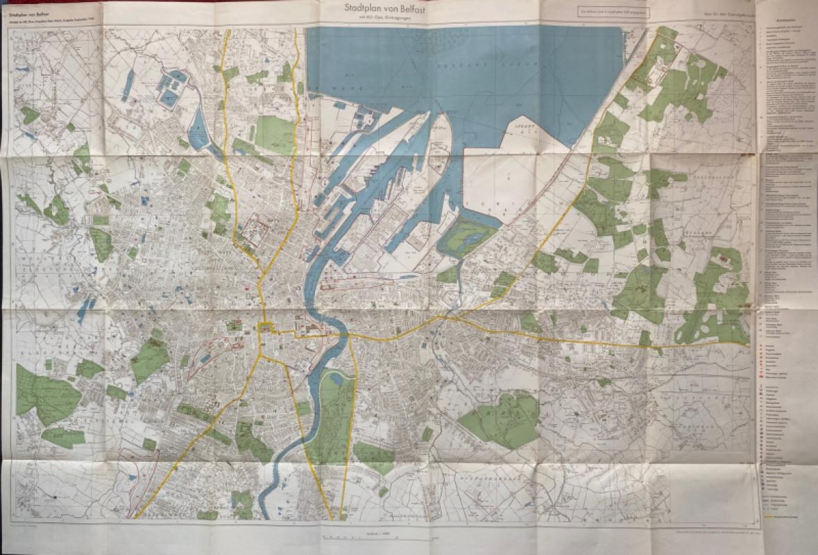
City Map of Belfast (Stadtplan von Belfast) 1940
German General Staff,
German General Staff,
£135.00
Offered by Arthur Hook
La République Française en LXXXVIII départemens: d...
Une Societé de Geographes
Une Societé de Geographes
£450.00
Offered by Arthur Hook
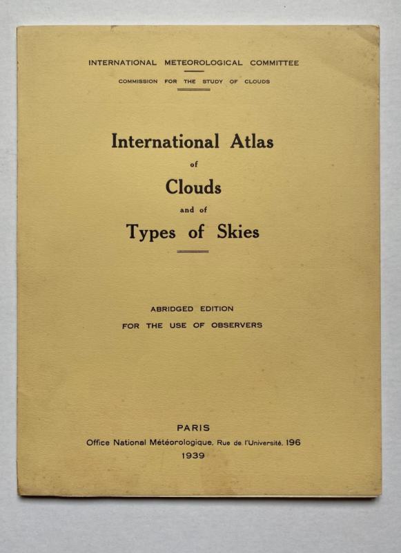
International Atlas of Clouds and Types of Skies
Anon
Office Nationale Metéorologique
£125.00
Offered by Arthur Hook
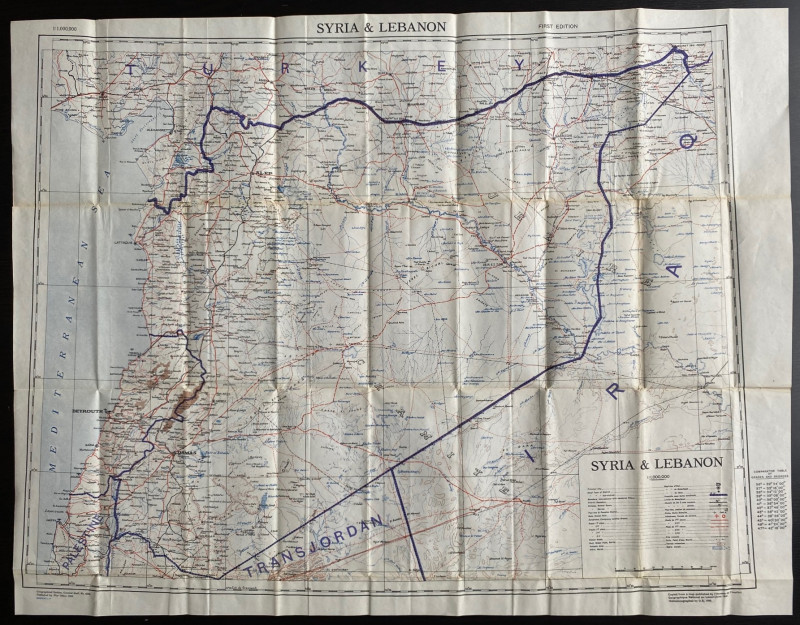
OS War Office Map of Syria and Lebanon 1942
British War Office
British War Office
£30.00
Offered by Arthur Hook

Friends of the PBFA
For £10 get free entry to our fairs, updates from the PBFA and more.
Please email info@pbfa.org for more information