The Newspaper Map of the United Kingdom

Book Description
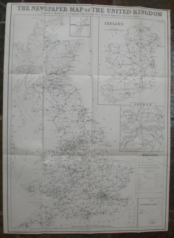
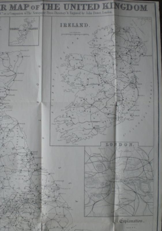
The Newspaper Map of the United Kingdom, engraved by John Dower and designed by C Mitchell, published London 1872. On folding paper size 76 by 56 cm. Uncoloured. Scale twenty miles to the inch. Includes inset maps of London; Ireland; the Orkneys and the Channel Islands. Shows the distribution and variety of newspaper publication in the UK. A key has symbols that give an explanation of towns with one paper, more than one paper, and daily and weekly papers, plus railways, industry, agriculture etc. Strengthening to folds at reverse with archival quality clear tape. Good to VG condition.
Author
Dower
Date
1872
Publisher
Dower
Condition
Good to VG
Other books
If you liked the book you've just seen, you might be interested in other books from the same dealer below.
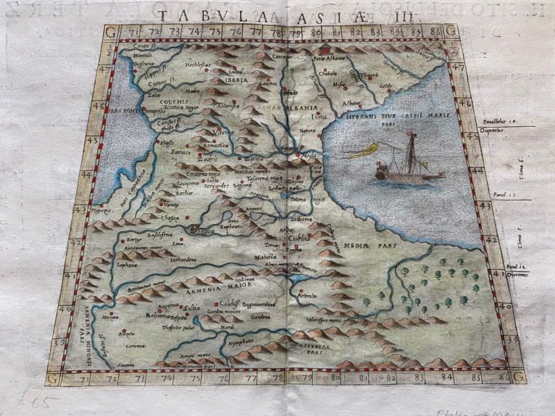
Ptolemy Map of the Caucasus Region: Armenia and pa...
Ptolomey
Pirckheimer
£85.00
Offered by Arthur Hook

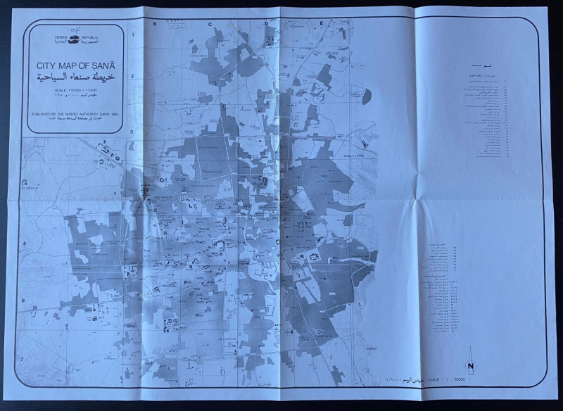
Republic of Yemen City Map of Sana
Survey Authority Sana
Survey Authority Sana
£110.00
Offered by Arthur Hook
La République Française en LXXXVIII départemens: d...
Une Societé de Geographes
Une Societé de Geographes
£450.00
Offered by Arthur Hook
Friends of the PBFA
For £10 get free entry to our fairs, updates from the PBFA and more.
Please email info@pbfa.org for more information